

Directions
From Vernal, Utah, take U.S. 191 north for about 46 miles.
From Manila, Utah, take Highway 44 for 28 miles. Turn left on U.S. 191 and go about 6 miles north.
From Rock Springs, Wyoming, take I-80 west toward Green River about 6 miles to the junction with U.S. 191/Flaming Gorge Road. Take U.S. 191 south for 60 miles, pass through Dutch John, and continue south 3 miles to the campground.
Phone
435-889-3000
Activities
BOATING, CAMPING, FISHING, SWIMMING SITE
Keywords
ARCH,DAM,FLAMING GORGE,ASHLEY NF – FS,Flaming Gorge National Recreation Area
Related Link(s)
Overview
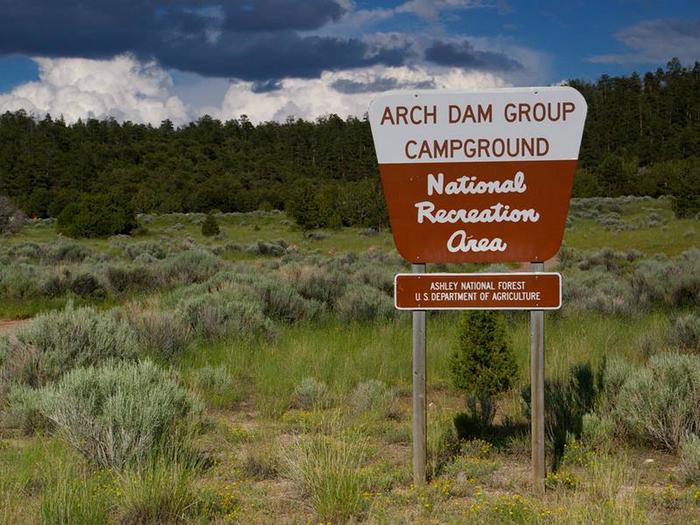
Arch Dam Campground is a popular location for family reunions, church outings and other large gatherings. It is located on the Ashley National Forest within the Flaming Gorge National Recreation Area. Flaming Gorge Dam and the Green River Spillway are less than a mile away. Visitors enjoy boating, water skiing, fishing and swimming.
Recreation
Beautiful Flaming Gorge Reservoir can be accessed just 3 miles from the campground. The reservoir is known for its world-class fishing for lake, brown and rainbow trout.
Boating, water skiing, jet skiing, canoeing, kayaking, swimming and scuba diving are popular activities. Cedar Springs Marina is just 3 miles away.
Facilities
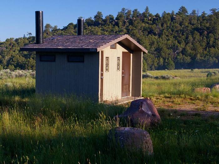
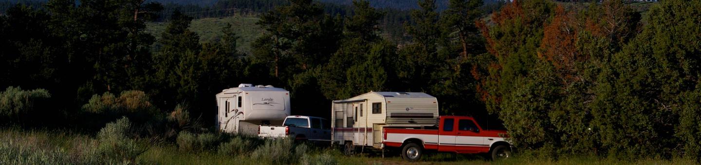
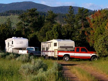
Arch Dam offers two large sites that can accommodate up to 75 people each; and one site that can accommodate up to 60 people. Vault toilets and drinking water are provided. Each site contains picnic tables and a campfire circle. Roads and parking spurs within the site are dirt.
Public showers are available 3 miles away at Deer Run Campground.
Natural Features
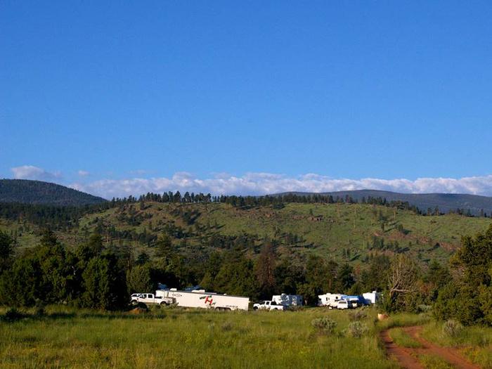
Arch Dam is situated in rolling, high desert terrain dotted with sagebrush and pinyon pines. Shade is limited. Grasses and summer wildflowers dot the meadows throughout the campground, which sits at an elevation of 6,200 feet.
Nearby Attractions
Flaming Gorge Dam offers guided tours of the working hydroelectric plant and the dam, and the adjacent visitor center contains area history exhibits.
The Green River below the dam provides spectacular rafting opportunities. A trip down the river offers unique geology, outlaw history and Native American rock art.