
Directions
From Duchesne, Utah, take Highway 87 north to Mountain Home, then travel on county road to Forest Road 131. The campground is about 36 miles from Duchesne.
Phone
435-722-5018
Activities
BIKING, BOATING, CAMPING, FISHING, HIKING, HORSEBACK RIDING, WILDLIFE VIEWING, SWIMMING SITE
Keywords
MOON,ASHLEY NF – FS
Related Link(s)
Overview
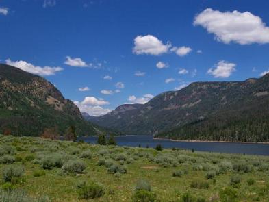
Moon Lake Group Campground is located on the shores of scenic Moon Lake on the southern slope of the Uinta Mountains. Visitors come to Moon Lake for its canoeing and fishing opportunities, abundant trails and scenic beauty.
Recreation
Moon Lake offers great canoeing and fishing opportunities. Anglers fish for rainbow and cutthroat trout, Kokanee salmon and splake.
Lake Fork Trail and Brown Duck Mountain Loop begin at the site, offering excellent hiking and horseback riding into the High Uintas Wilderness, where numerous alpine lakes provide great backcountry fishing.
Flying J Outfitters is nearby, offering guided horseback rides along area trails.
Facilities
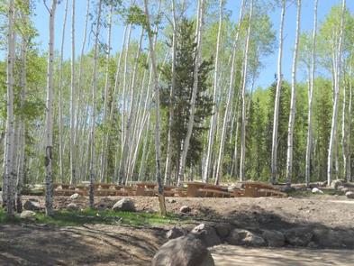
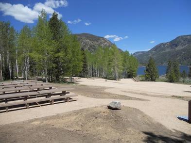
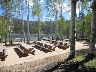
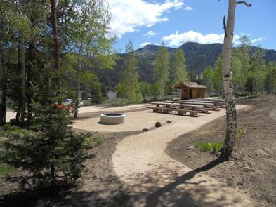
This campground contains two group sites that can accommodate up to 75 people each, with picnic tables and campfire rings with grills. Accessible vault toilets, drinking water and trash collection are provided.
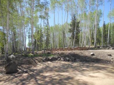
A campground host is located at the nearby Moon Lake Campground, where firewood is available for purchase. Roads and parking spurs are gravel.
Natural Features
The campground is situated on the lakeshore at an elevation of 8,100 feet, where lodgepole pines and aspens dot the landscape, offering partial shade. Wildlife and summer wildflowers are abundant.
Nearby Attractions
Moon Lake Resort is adjacent, offering limited supplies, groceries and boat rentals.