
Directions
Located 50 miles east of San Diego, California. Take I-8 to the Sunrise Highway exit. Go approximately 8.1 miles and turn west onto Wooded Hill Road.
Phone
619-445-6235
Activities
BIKING, CAMPING, HIKING, PICNICKING
Keywords
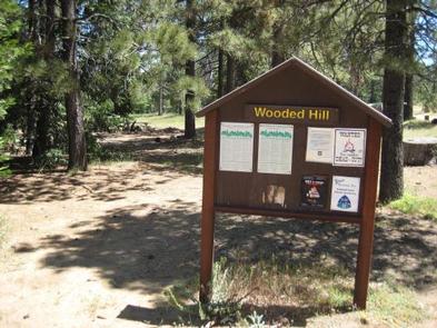
WOOH,CLEVELAND NF – FS
Related Link(s)
California State Road Conditions
Overview
Wooded Hill Group Campground is a great mountain getaway for groups of up to 110 people to take a retreat from the city. Just one hour east of San Diego, California, the campground offers cooler temperatures, unique natural areas and an extensive trail system. The facility is a perfect place for groups to gather and enjoy the outdoors from Memorial Day through Labor Day.
Recreation
The Laguna Mountains are known for great horseback riding, mountain biking and hiking trails. Visitors can get their boots dusty on a segment of the 2,650-mile Pacific Crest Trail, which runs from Mexico to Canada or try other nearby trails such as the Wooded Hills Nature Trail.
The Wooded Hills Nature Trail is accessible just west of the campground off of Sunrise Scenic byway. From the trail, visitors can ascend to the highest wooded point on Laguna Mountain, offering views of San Diego, Point Loma and the Channel Islands on a clear day.
The drive along Sunrise Highway weaves through woods brimming with pine, spruce, and fir trees, offering travelers many opportunities to enjoy pristine mountain meadows and amazing vistas.
Facilities
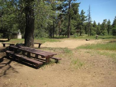
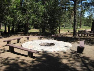
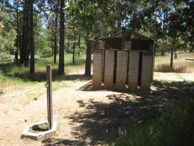
Groups will find one large campsite with parking spurs for trailers or RVs (maximum spur length varies from 20-40 ft.). There are no RV hookups. The facility is equipped with picnic tables, vault toilets and a large fire circle.
Natural Features
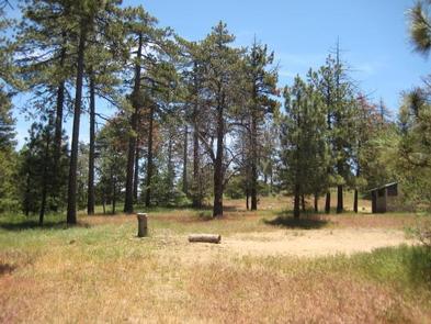
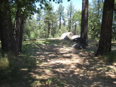
The campground sits at an elevation of 6,000 ft. in the Laguna Mountains. It is forested with pines and oaks that provide plenty of shade. The area is a quiet home to many species of birds and wildlife.
Nearby Attractions
Pacific Crest National Scenic Trail, Wooded Hill Nature Trail, Aqua Dulce Trailhead, Big Laguna Trail System, SDSU Obervatory & Star Party Trail