
Directions
From Sacramento, California, take Interstate 80 east to Auburn. Take the Elm Street exit and turn left at the stoplight. Follow Highway 49 down the canyon, across the American River, to Cool. Turn onto Highway 193 towards Georgetown. Turn left at the stop sign, then continue 22 miles to 11 Pines Road. Make a left and stay on this road (Forest Highway 2) for about 25 miles to the campground.
Phone
530-333-4312
Activities
BOATING, CAMPING, FISHING, WATER SPORTS, WILDLIFE VIEWING, SWIMMING SITE
Keywords
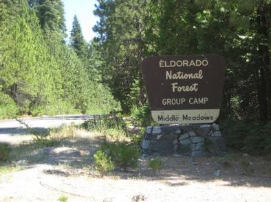
MIDM,ELDORADO NF – FS
Related Link(s)
California State Road Conditions
Overview
Middle Meadows Campground offers a quiet place to camp, far from the hustle and bustle of city life. The campground is isolated from other campgrounds and offers a variety of recreational activities in its vicinity. Its scenic location also provides for beautiful sightseeing, birding and wildlife viewing.
Recreation
Campers at Middle Meadows enjoy a forested setting and close access to a flowing creek, making it an ideal spot for family trips. Hell Hole Reservoir, located less than 5 miles from the campground, offers a variety of water-related recreation opportunities, including boating and fishing. There is a swimming hole that is located just west of Middle Meadows Group Campground about 0.25 miles.
Facilities
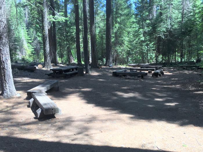
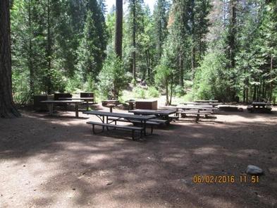
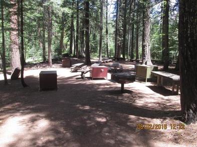
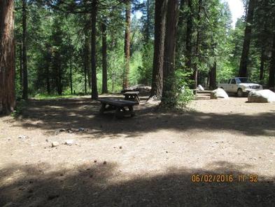
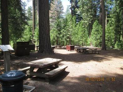
The campground offers two walk-in group campsites. The sites can accommodate up to 25 and 50 guests respectively. Each site is equipped with tables, campfire circles and grills. Vault and portable toilets are provided. Bear proof food containers and garbage receptacles are provided at each camp site. Currently, potable water is not available due to contamination problems. Please bring drinking water, containers or water filters. Potable water is available from faucets at Big Meadows Campground, which is located 2.5 miles northeast of Middle Meadows Group Campground.
Natural Features
Middle Meadows is located along the South Fork of Long Canyon Creek with a heavily wooded surrounding. Forests include large cedar, pine and fir trees and shrubs. Although the campground has a primitive, undiscovered feel to it, the serene mountain landscape is well worth the long drive from civilization.
Nearby Attractions
Middle Meadows is located adjacent to Long Canyon Creek for fishing and wading. Hell Hole Reservoir is a short drive north. A boat ramp is available at the reservoir.