Directions
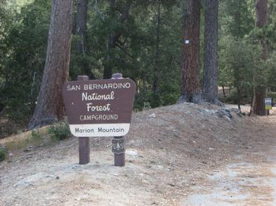
From Interstate 10 in Banning, take Highway 243 south for about 20 miles to Alandale. Travel east on Stone Creek Campground Road for about 2 miles to Marion Mountain Campground.
Phone
909-382-2922
Activities
BIKING, CAMPING, FISHING, HIKING, HORSEBACK RIDING, FIRE LOOKOUTS/CABINS OVERNIGHT
Keywords
MARI,SAN BERNARDINO NF – FS
Related Link(s)
California State Road Conditions
Overview
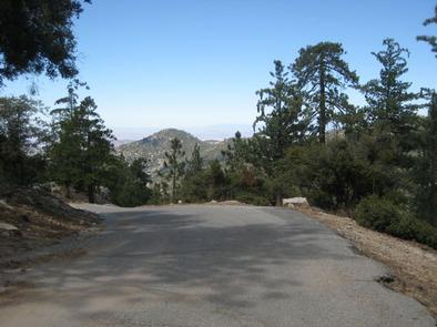
The Marion Mountain Campground offers a beautiful retreat in the San Bernardino National Forest. It provides access to a number of hiking trails that lead to some of the most spectacular views of Southern California.
Recreation
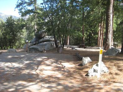
Visitors enjoy sport climbing on rocks within the campground. Hiking on the nearby Marion Mountain Trail, which leads to San Jacinto Peak, is also available. Views from the peak extend to the ocean and across the Palm Desert, as well as the San Bernardino and San Gabriel mountains on a clear day.
The 11.8-mile Marion Mountain Trail is the shortest route up the mountain, but also quite strenuous in areas. Shorter hikes can be enjoyed on other nearby trails.
Facilities
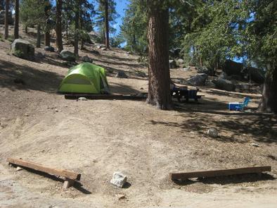
The campground offers about two dozen campsites for both tent and RV camping. All campsites are equipped with tables and campfire rings with grills. Vault toilets and drinking water are also provided.
Natural Features
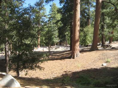
The campground is located in a forested area at an elevation of 6,400 feet. Mature cedar and pine trees provide ample shade and privacy between campsites.
Nearby Attractions
The campground is located approximately 50 miles from San Bernardino, California, and seven miles north of Idyllwild, which is popular for its small-town atmosphere and variety of shops and restaurants.

