Directions
From Enumclaw, Washington, go southeast on Highway 410 towards Mt. Rainier park for approximately 26 miles to campground.
Phone
360-804-1103
Activities
CAMPING
Keywords
DALS,MT. BAKER-SNOQU NF – FS
Related Link(s)
Washington State Road Conditions
Overview
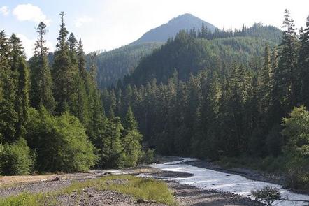
Situated on the banks of the White River in Mt. Baker-Snoqualmie National Forest, Dalles Campground offers visitors stunning scenery and access to a multitude of recreational activities within the Cascade region.
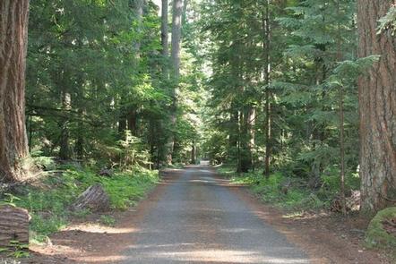
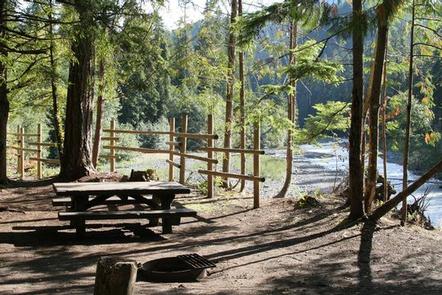
Scattered beneath a towering canopy of diverse forest, the sites in this campground are widely-spaced and many are at the water’s edge.
Recreation
Hiking and fishing top the list of recreational activities in the area.
For visitors wanting a glimpse at the wonders of the area, hikes for all levels and abilities abound. For a shorter hike, the John Muir Nature Trail is a half-mile, barrier-free nature trail that begins at the historic picnic shelter near the entrance of the campground.
Marking the beginning of the Dalles River View trail at the west end of the campground loop is the "Big Tree," a 700 year-old Douglas fir that measures 9.5 feet in diameter.
Anglers will enjoy fly fishing on the White River and its tributaries, as it sustains several species of salmon and trout.
Facilities
Dalles campground offers standard sites and is able to accommodate tents or RVs.
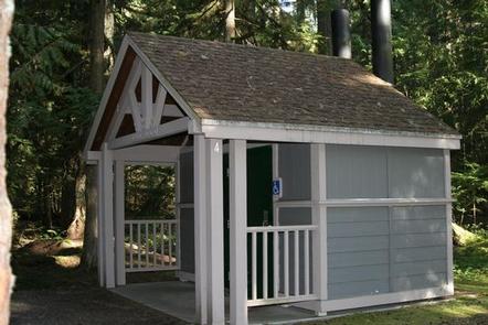
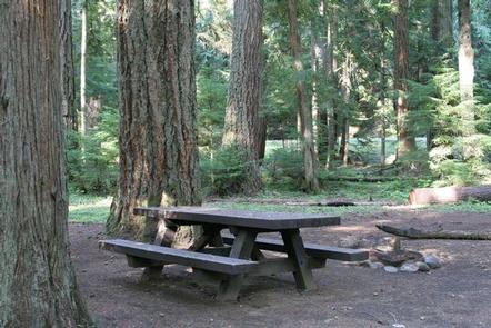
Picnic tables and campfire rings with grills are available at each site, and vault toilets and drinking water are accessible throughout the campground.
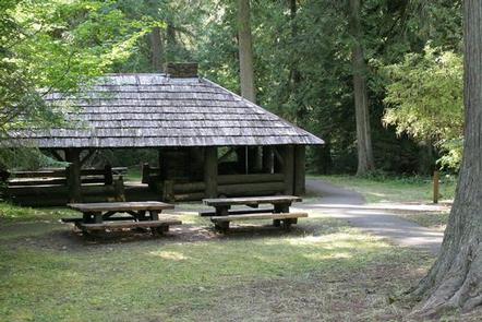
A covered historic picnic shelter, constructed by the Civilian Conservation Corps, may be reserved, otherwise it is available on a first-come first-serve basis.
Natural Features
Hemmed in by several designated wilderness areas, the Mt. Baker-Snoqualmie National Forest showcases rugged peaks, sparkling alpine lakes and old-growth forests, providing visitors with a variety of scenic landscapes.
Mt. Rainer, the highest mountain in Washington and the Cascades range, dominates the landscape on a clear day. Rising to an elevation of 14,411 feet, the stratovolcano is perpetually snow-capped, boasting a total of 36-square miles of snowfields and glaciers. Two volcanic craters top the summit of this magnificent peak.
Flowing water from ice caves at the base of Emmons Glacier in Mt. Rainer National Park is the source of the White River, which enters the forest and joins up with Huckleberry Creek just below the Dalles Campground.
Wildlife in the area include mountain goats, coyotes, pine marten and a variety of migratory birds and native fish.
Nearby Attractions
Visitors enjoy the North Cascades and Mt. Rainer National Parks, where interpretive programs and exhibits offer education about the diverse landscape and history of the area.

