

Directions
From Auburn, Calif., take Highway 80 to the Foresthill Road and travel 20 miles east to Foresthill. Turn right onto Mosquito Ridge Road and travel 42 miles east to French Meadow Reservoir. Follow the signs to the campground.
Phone
530-367-2224
Activities
BIKING, BOATING, CAMPING, FISHING, HIKING, PICNICKING, SWIMMING SITE
Keywords
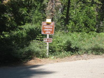
GATE,TAHOE NF – FS
Related Link(s)
California State Road Conditions
Overview
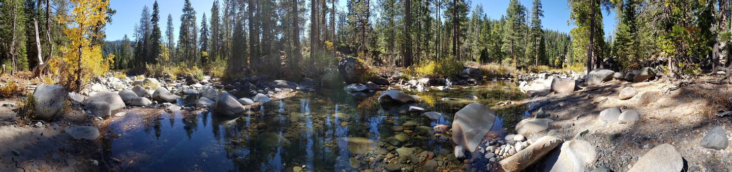
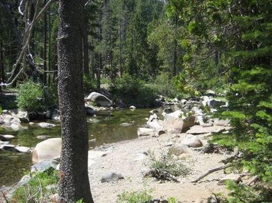
Gates Group Campground is located on the North Fork American River, at the north end of the French Meadows Reservoir in the Tahoe National Forest. It is 40 miles from the town of Foresthill. Visitors enjoy the area for its fishing, boating and trail opportunities.
Recreation
The North Fork American River provides fishing and swimming. The reservoir can be accessed nearby. Popular activities include boating, canoeing, fishing and swimming. Two boat ramps are located within three miles of the campground. A variety of hiking and biking trails are found in the surrounding area, including some that provide access to the nearby Granite Chief Wilderness. Just down the road is the Granite Chief Wilderness which provides amazing hiking opportunities for an adventurous party to explore historic aspen trees and secluded mountain passes and trails. The Western States Trail provides great opportunity for hiker, horseback riders, dirt bikers, and for adventurous maintain bikers.
Facilities
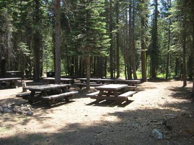
The campground offers three group campsites. Two sites can accommodate up to 25 people and eight vehicles each. Another group site can accommodates up to 75 people and 25 vehicles.
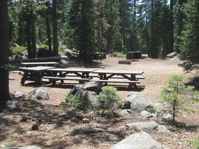
Picnic tables, campfire circles and grills are provided, as are vault toilets and drinking water.
Natural Features
The campground is situated along the river, just north of French Meadows Reservoir. A coniferous forest covers the area. At an elevation of 5200 feet, summertime temperatures are warm in the day and cool at night.