
Directions
From Pollock Pines, CA, take Route 50 east 8.3 miles to the Crystal Basin Recreation Area sign. Turn left at sign onto Icehouse Road and go 10.8 miles to the Ice House Campground directional sign. Turn right at the sign onto Forest Route 32, then go 1.1 miles to an intersection with a campground/boat ramp sign. Continue straight to campground.
Phone
831-245-6891
Activities
BIKING, BOATING, CAMPING, HIKING, WATER ACTIVITIES
Keywords
ICEH,ELDORADO NF – FS
Related Link(s)
California State Road Conditions
Overview
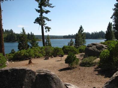
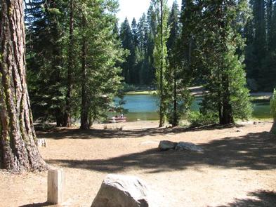
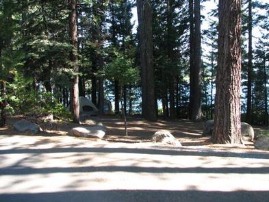
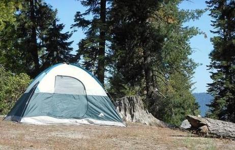
Ice House Campground is surrounded by a mixed conifer forest on the shores of Ice House Reservoir. Just 12 miles from Riverton, CA, the campground offers hiking, biking, jet skiing and fishing.
Ponderosa pine is a pleasing part of the surrounding region. The trees fill the air with a vanilla aroma and it’s the tallest known pine tree in the country. To date, the tallest Ponderosa measured was an impressive 268.35 feet tall.
Recreation
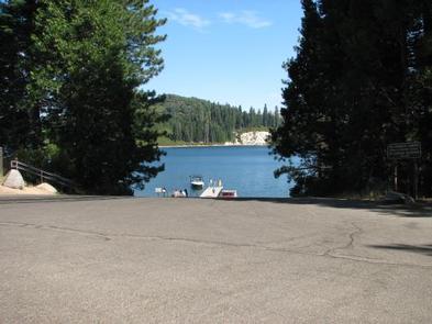
Enjoy swimming, fishing and boating on Ice House Reservoir. Rainbow, brown, and trout swim in these waters. A boat ramp is located on-site.
Hike or bike on the Ice House Mountain Bike Trail, which stretches for 3.1 miles along ridge tops and shaded northern slopes. The trail boasts views of the reservoir and the Crystal Range.
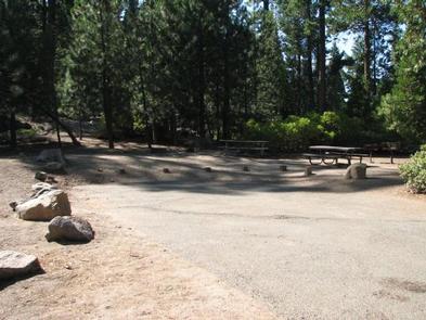
Facilities
Amenities include a picnic area, drinking water faucets, vault toilets and a dump station. Firewood is sold on-site and a nearby resort offers a restaurant, gas and limited groceries.
At the RV-only campsite area, there is a shared cooking area with tables and grills. This is the only place those staying in the area may grill.
Natural Features
Some campsites at Ice House are right on the shoreline while others are set back just enough for plenty of shade from towering ponderosa pines, cedars and Manzanita bushes. The reservoir spans 700 acres at 5,500 feet elevation.
The area is part of the Eldorado National Forest, which stretches across the famed gold mining territory of the 1800s. Its climate is similar to that of the Mediterranean, with warm, dry summers and cold, wet winters.
Nearby Attractions
Head to Bassi Falls, which can be reached via a 1.2-mile hiking trail. The glorious waterfall cascades over a 109-foot granite cliff.