
Directions
From Twin Mountain, New Hampshire: Take State Highway 302 east for 3 miles. Turn right on Zealand Road and go 0.5 miles south to the campground.
From North Conway, New Hampshire: Travel on State Highway 302 north for approximately 33.5 miles. After passing the Mount Washington Hotel and Bretton Woods ski resort, look for Zealand Road on your left. Turn left on Zealand Road and go 0.5 miles south to the campground.
Phone
603-536-6100
Activities
CAMPING, FISHING, HIKING, PICNICKING
Keywords
SUGA-2 WHITE MOUNTAIN,SG2C
Related Link(s)
New Hampshire State Road Conditions
Overview
Sugarloaf 2 is a scenic, remote campground in the northwoods of New Hampshire. Located near the western base of Mount Washington and 3 miles east of the small town Twin Mountain, the campground is minutes away from hiking, mountain biking, scenic driving, fishing and sightseeing opportunities.
The White Mountains boast pristine forests, clear mountain streams and rivers and the tallest peaks in the Northeast. The forest encompasses nearly 800,000 acres in New Hampshire and western Maine, and is one of the most popular in the country.
Recreation
Hiking is one of the biggest draws to the campground. Trails begin around the facility itself, as well as in the surrounding area. The 6,288-ft. Mount Washington, New England’s highest peak, is just minutes away.
Access to the wild Ammonoosuc River is easy for campers wishing to fish for brook trout or wade in its cool waters during warmer summer months.
The campground is in close proximity to Bretton Woods ski resort and the upscale Mount Washington Hotel.
Learn more about recreation in the national forest.
Facilities
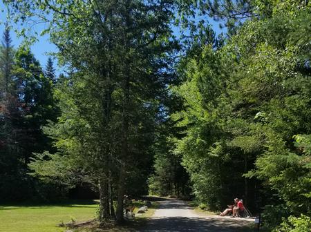
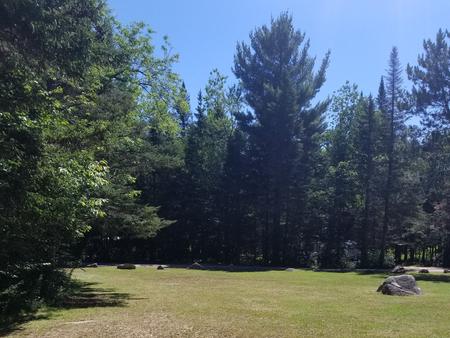
The campground is in a rustic setting. Campsites are well spaced around a large loop, and some sit atop a ridge. Some also have a view of the nearby mountains.
Accessible restrooms and a hand pump for water are provided. There is no dump station, and the nearest showers are 10 miles away.
Natural Features
The facility sits near the banks of the cold, cascading Ammonoosuc River. Thick hardwood and pine forests fill the landscape. White Mountain National Forest is home to many species of northern wildlife, including moose, white-tailed deer and black bear. Almost 200 species of birds, including the rare Bicknell’s Thrush, live within its boundaries.
Nearby Attractions
The small town of Twin Mountain has a general store, gas station and restaurants.
Numerous hiking trails, mountain biking trails and rock climbing routes are within a short drive of the campground, including the well-known Appalachian Trail.
The Cog Railway provides a once-in-a-lifetime experience for visitors to ascend the western side of Mount Washington by train.