Directions
Take I-70 west of Denver to Glenwood Springs, Colorado. Take exit 116 (Highway 82) south to Basalt. At Basalt, take Frying Pan Road. Go 29 miles to Chapman Campground.
Phone
970-927-0107
Activities
BIKING, CAMPING, FISHING, HIKING, WILDLIFE VIEWING
Keywords
CHAP,CHAPMAN LAKE,WHITE RIVER NF -FS
Related Link(s)
Colorado State Road Conditions
Overview
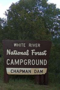
Situated above the Ruedi Reservoir, Chapman Campground sits at the base of a wide valley adjacent to the Fryingpan River in White River National Forest.
Sites are surrounded by lodgepole pine, and several are at the river’s edge, offering an ideal setting for visitors seeking recreation and relaxation.
Recreation
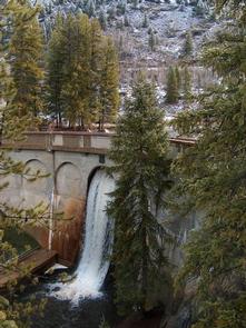
Flowing through this campground is Fryingpan River, renowned for its fly fishing. Downriver, below the campground and Ruedi Dam, large rainbow, brown, cutthroat and brook trout are plentiful in an area nicknamed the "toilet bowl." Here, the fish feed on mysis shrimp, a small freshwater shrimp stocked in the lake.
The stretch of river from the dam down to the confluence of Fryingpan and the Roaring Fork River has been designated as Gold Medal Waters by the Colorado Wildlife Commission. Special regulations in this area include fishing only with artificial flies and lures, and releasing all trout except brown trout, with a limit of 2 fish over 14 inches.
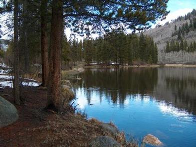
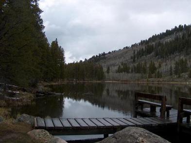
Chapman Reservoir is also an option for anglers wanting to cast lines in at its shore. Motorized watercraft is prohibited on Chapman Reservoir.
A horseshoe pit and volleyball court encourage game playing. A nature trail can be accessed from the site.
Facilities
Chapman Campground has 84 standard sites suitable for tents, trailers, and RVs. A group site is also available.
The campground is equipped with picnic tables, campfire rings, vault toilets, and drinking water. Electrical hook-ups are not available.
Trash and recycling collection is provided.
Natural Features
In the heart of the Rocky Mountains, the 2.3 million acre White River National Forest is a place of serenity and adventure, boasting 8 wilderness areas, 4 defined seasons, and 10 peaks surpassing 14,000 feet in elevation.
Wildlife in the area abounds. Bighorn sheep navigate rocky ridges and bull elk bugle at dusk. Scenic rivers sustain populations of cutthroat, rainbow, and brown trout. Alpine regions provide habitat for pika and ptarmigan. These species, along with many others, depend on surrounding undeveloped wilderness, clean streams, and diverse forests to live.


