
Directions
From Mammoth Lakes or Bishop, California: Take U.S. Highway 395 to the Owens Gorge Road exit at Tom’s Place (25 miles north of Bishop and 13 miles south of Mammoth Lakes). Drive 200 yards east to the gravel road and continue north a short distance to the campground along Rock Creek. Follow signs.
Phone
760-935-4026
Activities
CAMPING, FISHING, HIKING
Keywords
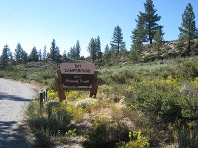
TUFF,INYO NF – FS
Related Link(s)
California State Road Conditions
Overview
Tuff Campground is situated along Rock Creek in the scenic Sierra Nevada Mountains of California. It is convenient to Tom’s Place and U.S. Highway 395.
At an elevation of 7,000 ft., it is lower than many of the region’s campgrounds and thus frequently one of the first campgrounds to open in the spring.
Popular activities include hiking, fishing, wildlife viewing and viewing the area’s volcanic rock formations.
Opening and closing dates for the season are dependent on weather. The campground usually opens the last weekend in April to coincide with the first day of fishing in the Sierras.
Recreation
Rock Creek and nearby Rock Creek Lake and Crawley Lake are hot spots for trout fishing. A catch from the creek may including brook, brown, rainbow and stocked Alpers trout.
The area’s majestic scenery and challenging trails are an obvious draw for hikers and mountain bikers.
Facilities
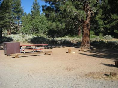
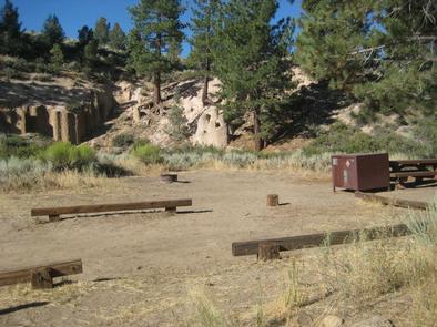
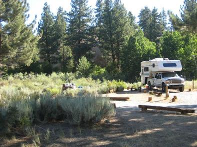
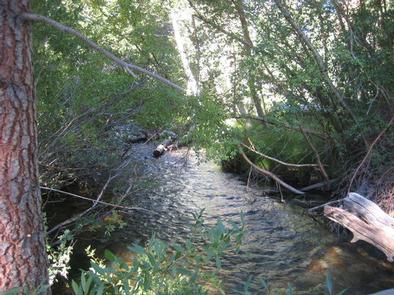
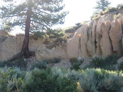
This moderate-sized facility is well spread out over three loops. Some campsites sit in the shade along Rock Creek, and those at the foot of the Tuff rock formations receive more sun.
There is space for small trailers and RVs, as well as some very nice level sites for tents. The campground has gravel roads.
Firewood is available on-site for purchase, and Tom’s Place has other supplies and fee showers within a short drive.
Natural Features
This campground is named for the Tuff rock formations that lie in and around it. Most campsites are situated in an open sagebrush landscape, with aspens, cottonwood and Jeffrey pine trees surrounding the area.
The clear, cold and cascading Rock Creek runs alongside the campsites, offering a relaxing sound for campers.
The area is home to abundant wildlife, including black bear, mountain lions, mule deer, pine martin, pika and many species of fish and birds.
Nearby Attractions
For campers interested in local events, Mule Days are held in nearby Bishop over Memorial Day weekend, and the Mammoth Jazz Jubilee is hosted in Mammoth in mid-July.