
Directions
From Boise, Idaho, take State Highway 55 to Banks. Turn East on Banks Lowman Highway 17 to Lowman. Turn left on Highway 21. The campground is located at milepost 91.5.
Phone
208-259-3361
Activities
BIKING, CAMPING, FISHING, HIKING, WILDLIFE VIEWING
Keywords
BONN,WARM SPRING CAMPGROUND,BOISE NF – FS
Related Link(s)
Overview
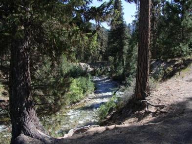
Bonneville Campground is 19 miles east of Lowman, Idaho just off Highway 21 at an elevation of 4,700 feet. Warm Springs Creek runs alongside the campground and the South Fork Payette River lies across the highway. Visitors enjoy soaking at Bonneville Hot Springs a short distance above the campground, and fishing in the creek and river.
Recreation
A 1/4-mile hiking trail leads from the campground to Bonneville Hot Springs, where a soaking pool awaits. Warm Springs Creek offers good trout fishing.
The South Fork Payette River offers whitewater rafting, kayaking and trout fishing. The Deadwood River Access area is located near Lowman.
Facilities
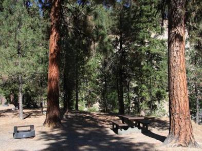
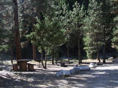
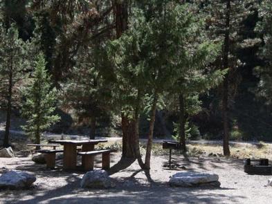
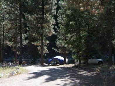
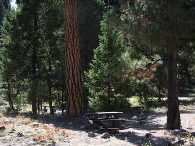
The campground contains several accessible single-family sites and one double site, each equipped with a picnic table and campfire ring with grill. Vault toilets, drinking water and trash collection are provided. A campground host is on-site.
Natural Features
The campground is situated on a bluff overlooking Warm Springs Creek. A forest of towering Ponderosa pine and Douglas fir covers the campground. Most campsites have plentiful shade. Summer wildflowers dot the landscape. Deer and elk may be seen wandering through the area on occasion.
Nearby Attractions
Numerous natural hot springs pools can be found along Highway 21, also known as the Ponderosa Pine Scenic Byway, and the Banks-Lowman Highway, also known as the Wildlife Canyon Scenic Byway. Both byways offer scenic views, wildlife watching, historical information kiosks and several trail opportunities.
Whitewater rafting and kayaking are popular activities on the South Fork and Main Payette Rivers. Several companies in the area offer guided half and full-day trips.