ELKS FLAT CAMPGROUND, ID Campground Reservation, Info, Images, Map, Directions

ELKS FLAT CAMPGROUND, Idaho Campground Images, Info & Reservations

Directions

From Mountain Home, travel east on Highway 20 for 35 miles to the turnoff for Pine/Featherville (Forest Highway 61). Travel north on Highway 61 for 24 miles to the campground.

Phone

208-587-7961

Activities

BOATING, CAMPING, FISHING, SWIMMING SITE

Keywords

ELKF,ELK FLATS,JOHNSON BRIDGE,BOISE NF – FS

Related Link(s)

Rec Area Info & Images

Idaho State Tourism

Idaho State Road Conditions

Overview

Elks Flat Campground is situated on the banks of the South Fork Boise River, at the foot of the Trinity Mountain Range in Idaho. It is five miles north of the town of Pine. Visitors enjoy fishing, swimming and exploring trails in the surrounding area.

Recreation

The South Fork Boise River runs along the eastern edge of the campground, offering rafting, swimming and fishing for rainbow trout. Paradise Hot Springs is nearby.

Green Creek Trail 270, a 4.5-mile trail for hiking, horseback riding and dirt bikes, begins a mile from the site. Cross Cut Trail 172 also begins close by and is open to hiking, biking, horseback riding and off-road vehicles.

Facilities

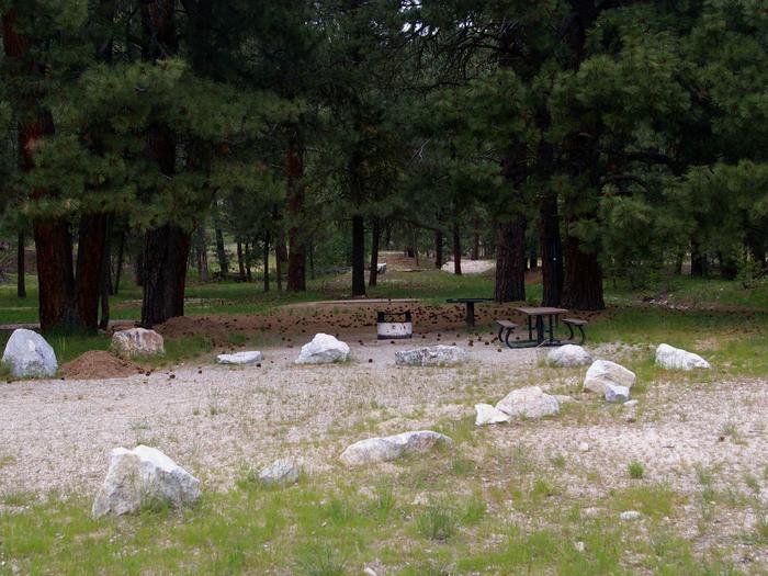
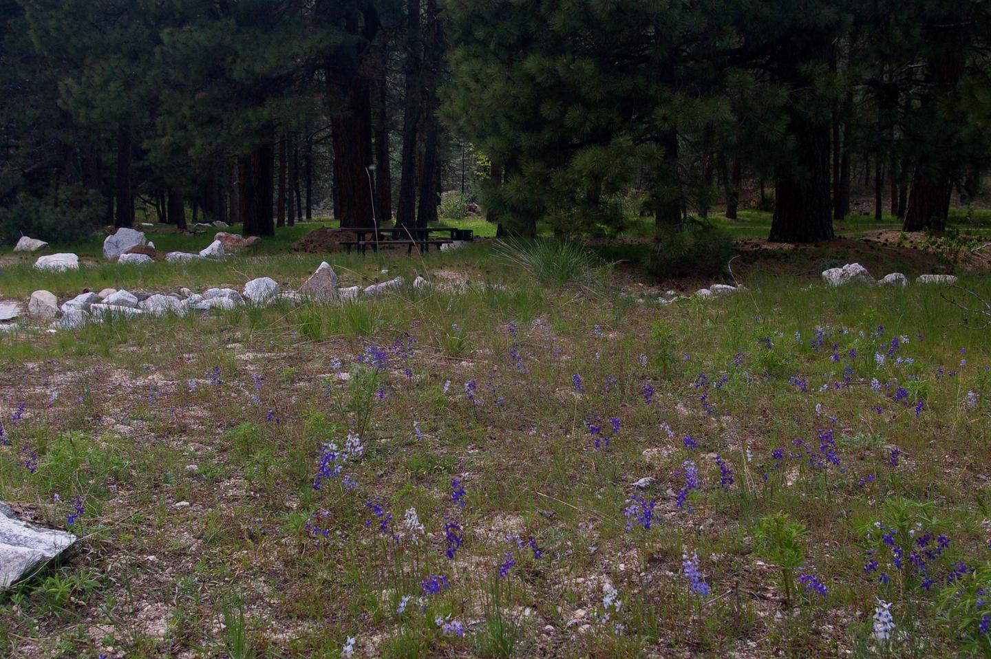
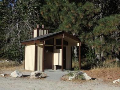
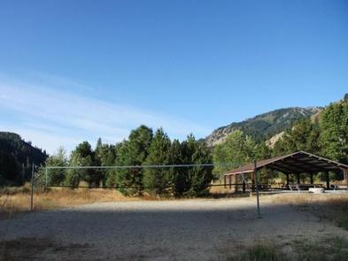
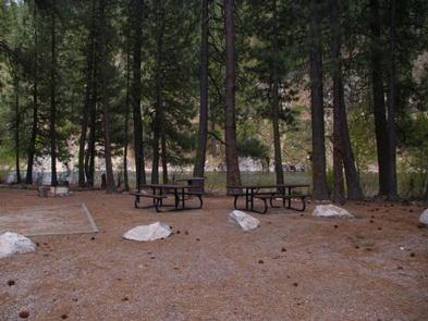
This campground contains two large-group campsites that can accommodate up to 100 people. Each site is equipped with covered pavilions, picnic tables and cement site pads. Vault toilets and drinking water are provided. Roads and parking spurs within the campground are gravel.

Natural Features

The campground is settled in a grassy meadow. It is surrounded by stands of cottonwood, aspen, Douglas fir and ponderosa pine, at an elevation of 4,400 feet.

Nearby Attractions

Baumgartner Hot Springs is approximately 16 miles away with a soaking pool and nature trail. Kelly Creek Flats Recreation Area is adjacent to Baumgartner with several more trail opportunities.

Reservation

More from CampingHiking.net:

SCHWARZ PARK, Oregon Campground Images, Info & Reservations

Directions From Cottage Grove, Oregon, take Exit 174 off of Interstate 5. Travel East on Row River Road for approximately 5 miles; you will cross Row River twice. The entrance to the campground is on the left side of the road immediately after you cross Row River for the second

HURRICANE CAMPGROUND, Virginia Campground Images, Info & Reservations

Directions From I-81: Take Marion exit 45 onto Virginia State Route 16 South. Follow SR 16 for 15 miles to SR 650 (5 miles south of Sugar Grove). Turn right on gravel SR 650, and follow for 2 miles to the paved campground entrance road. Phone 276-783-5196 Activities BIKING, CAMPING,

GREEN RIVER CAMPGROUND, Utah Campground Images, Info & Reservations

Directions Green River Campground is located approximately 12 miles north of US Highway 40. Take Utah State Route 149 from Jensen, Utah. Phone 435-781-7700 Activities BIKING, CAMPING, INTERPRETIVE PROGRAMS, FISHING, HIKING, WILDLIFE VIEWING, EVENING PROGRAMS Keywords GREEN RIVER CAMPGROUND,GREEN RIVER,DNM Related Link(s) Rec Area Info & Images Utah State Tourism

BUSHAY RECREATION AREA, California Campground Images, Info & Reservations

Directions From the South (San Francisco, Santa Rosa, Ukiah): Follow Highway 101 North towards Ukiah. Approximately 5 miles north of Ukiah, take Highway 20 East. Continue on Highway 20 East for approximately 3 miles. Just after you see Lake Mendocino on your right, you will cross a tall bridge. Take