
Directions
From the I-25 and Hwy 24 intersection in Colorado Springs, Colorado, travel west on Highway 24 for approximately 18 miles to the Hwy 24 and Hwy 67 intersection in Woodland Park. Turn right (north) on Hwy 67 and travel approximately 5.5 miles to South Meadows Campground. The campground is on the left side of the road.
Phone
719-636-1602 (INFORMATION ONLY, NO RESERVATIONS TAKEN AT THIS NUMBER)
Activities
CAMPING
Keywords
SOUM,WOODLAND PARK,PIKE AND SAN ISABEL NF- FS
Related Link(s)
Colorado State Road Conditions
Overview
South Meadows Campground, located 5 miles north of Woodland Park, provides a scenic spot for campers to rest and enjoy the many recreational offerings of the area. The campground attracts hikers and bikers with access to the multipurpose paved Centennial Bike Trail, as well as visitors looking for a central location for day trips to Pikes Peak and the Garden of the Gods. Garden of the Gods is a National Natural Landmark in Colorado Springs, featuring incredible rock formations, impressive vistas and a free visitor and nature center.
Recreation
The 4.2-mile Centennial Trail, a paved, accessible recreation trail, connects South Meadows Campground to Manitou Lake Picnic Area and Colorado Campground. The trail is popular for hikers, inline skaters and bicyclists. The nearby Rainbow Falls OHV Trail System and North Divide OHV Trail System are recommended for off-road vehicle enthusiasts. Fishing is available at nearby Manitou Lake and Trout Creek.
Facilities
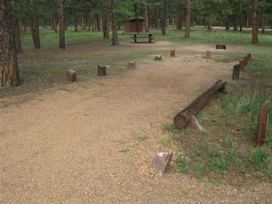
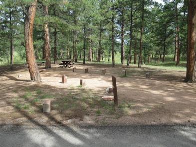
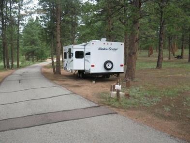
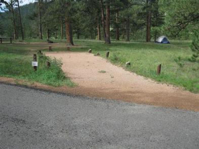
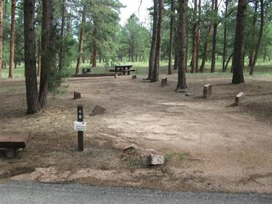
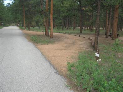
Each site has a campfire ring and picnic table. Roads are paved and a campground host is on duty. Vault toilets and drinking water may be found throughout the campground with reduced facilities outside of peak season.
Natural Features
Campsites are tucked in a stand of ponderosa pines at an elevation of 8,000 feet. To the north is the 5-acre Manitou Lake. Afternoon thunderstorms are common in summer months and temperatures are generally mild, with warm and pleasant days and cooler nights.
Nearby Attractions
The town of Woodland Park is located five miles south of South Meadows Campground where campers can find gas, food, dining and shopping.
Visitors can tour the U.S. Air Force Academy in Colorado Springs and view the impressive architecture at the Cadet Chapel. Pikes Peak and Garden of the Gods are other popular attractions.