CAMP HALE EAST FORK GROUP, CO Campground Reservation, Info, Images, Map, Directions

CAMP HALE EAST FORK GROUP, Colorado Campground Images, Info & Reservations

Directions

From I-70, take exit 171 toward Minturn. Turn south on Highway 24 and continue for approximately 19 miles, just beyond Camp Hale Memorial Site. Turn onto Old Highway East and follow for 2 miles to the campground.

Phone

970-468-7681

Activities

CAMPING, FISHING, HIKING, WILDLIFE VIEWING

Keywords

EAF1,WHITE RIVER NF -FS

Related Link(s)

Rec Area Info & Images

Colorado State Road Conditions

Forest Service Concessionaire

Colorado State Tourism

Overview

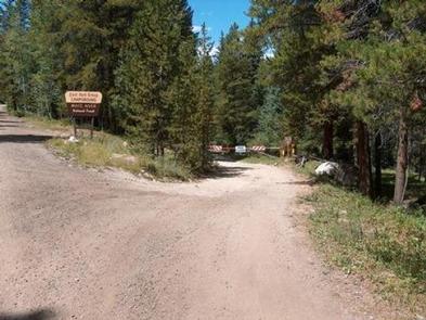
Located in the wide-open spaces of a lush green valley near the headwaters of the Eagle River and East Fork Eagle River, Camp Hale East Fork is the ideal spot for large group camping.

The surrounding White River National Forest offers campers a recreational oasis and an exciting Wilderness experience.

Recreation

The famous Colorado Trail winds within walking distance of the campground, offering hiking, horseback riding and opportunities for wildlife viewing to guests. Several paths throughout the campground also provide easy walking and biking areas.

Fishing is available in the numerous streams nearby, including both the Eagle and East Fork Eagle River, the Camp Hale Pond and several beaver ponds, with various types of trout available.

Facilities

Camp Hale East Fork can accommodate up to 200 guests, making it the perfect destination for large parties or family reunions. The group picnic area contains several tables, a large fire ring and grills.

Natural Features

Nestled in the heart of the Rocky Mountains, the 2.3 million acre White River National Forest is the top recreation forest in the nation. Known as the birthplace of wilderness and home to world-renowned skiing, the White River Forest has something to offer every outdoor enthusiast.

Nearby Attractions

The White River National Forest is home to several skiing and Wilderness areas, providing countless recreational opportunities for campers.

Reservation

More from CampingHiking.net:

HIGH RYE CABIN, Montana Campground Images, Info & Reservations

Directions From Butte, travel west on Interstate 90 for about 12 miles, to exit 211. Continue about 3 miles south on Highway 441. Turn left onto Forest Service Road 82 and travel 4 miles south to the cabin. Maps may be purchased by calling the Butte Ranger District. Phone 406-494-2147

MOOSE LAKE, Wisconsin Campground Images, Info & Reservations

Directions From Hayward, Wisconsin, drive east on State Highway 77 about 28 miles. Turn right onto Forest Service Road 174 and continue about a mile, then turn right onto Forest Service Road 176. After about 5 miles turn right again and drive less than 2 miles to the campground. Phone

STRAWBERRY CABIN, Montana Campground Images, Info & Reservations

Directions Located about 15 miles south of Helena. From Interstate 15, take exit 187 for Montana City/MT-518. East on Jackson Creek road for 0.5 miles. Turn right/south onto Johns St (Papa Rays Pizza) and continue onto McClellan Creek road for four miles. Turn right/south onto Warm Springs Creek/Strawberry Lookout Rd

BIG ELK GUARD STATION, Oregon Campground Images, Info & Reservations

Directions Drive east from Butte Falls on the Butte Falls-Fish Lake Highway (County Road #821) for approximately 19 miles to the junction with State Highway #140. Turn right, go .08 miles on Highway #140 to the junction with Forest Service Road #37. Turn left, and travel approximately 4 miles to

SHAKES SLOUGH 2 CABIN, Alaska Campground Images, Info & Reservations

Directions The Shakes Slough Cabins are located in the Stikine-LeConte Wilderness on the north shore of the Stikine River at the Shakes Slough entrance. From Wrangell, the cabins are 20 miles by float plane or 25 miles by shallow draft boat. Low river levels and tides affect access to the

MANZANITA LAKE, California Campground Images, Info & Reservations

Directions From Redding, California drive 48 miles east on State Highway 44. Turn right into Lassen Volcanic National Park and continue one mile south to Manzanita Lake Campground. Phone 530 595-6121 Activities BOATING, HISTORIC & CULTURAL SITE, CAMPING, INTERPRETIVE PROGRAMS, FISHING, HIKING, PICNICKING, VISITOR CENTER, DAY USE AREA, SWIMMING SITE