
Directions
From Bridgeport, California, take Highway 395 and turn south at Twin Lakes Road and travel 9.6 miles. Turn left onto the paved road across from the Twin Lakes Resort Laundromat. Travel approximately 0.6 miles, go across Robinson Creek Bridge and turn left into campground.
Phone
760-932-7092
Activities
CAMPING, FISHING
Keywords
CRAG,HUMBOLDT-TOIYABE NF-FS
Related Link(s)
California State Road Conditions
Overview
Crags Campground is located just 10 miles from Bridgeport, California, at an elevation of 7,000 feet. The Twin Lakes area is close by, offering boating, fishing, hiking and horseback riding opportunities.
Recreation
Robinson Creek offers good rainbow trout fishing and can be easily accessed from within the campground. Numerous hiking trails are in the vicinity, including the popular Robinson Creek Trail.
Facilities
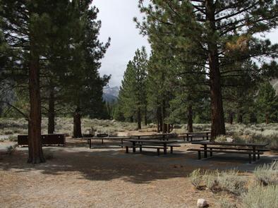
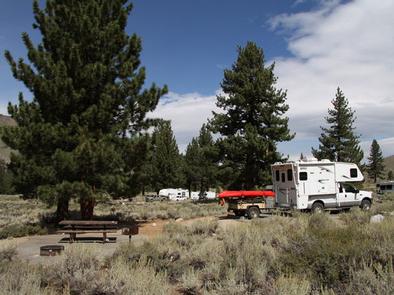
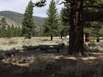
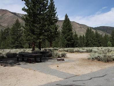
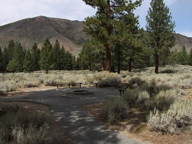
The campground contains one group site that can accommodate up to 45 people, with picnic and serving tables, grills, food storage lockers, a campfire circle and ample parking. Several single and double-family sites, some of which are accessible, are also available.
Flush toilets, drinking water and trash collection are provided. Firewood is available for purchase from the host. Roads and parking spurs are paved.
Robinson Creek South Campground is nearby, where educational programs are held on weekends from July 4 through Labor Day.
Natural Features
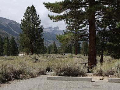
The campground offers views of the rugged Sawtooth Ridge, with craggy peaks topping out at over 10,500 feet in elevation. A forest of Jeffrey pines towers over the campground, offering limited shade. Sagebrush and summer wildflowers dot the area.
Nearby Attractions
Upper and Lower Twin Lakes are within walking distance, offering beautiful mountain scenery, boating, canoeing and fishing for Kokanee salmon and rainbow and brown trout. Twin Lakes Resort is just across the road.
The rugged and scenic Hoover Wilderness Area can be accessed from the Twin Lakes area and offers additional trails for hiking and horseback riding.