


Directions
Seasonal phone is 828-488-3184
From downtown Bryson City, NC: Follow signs to Deep Creek, 3 miles away.
Phone
865-436-1261
Activities
HISTORIC & CULTURAL SITE, CAMPING, FISHING, HIKING, HORSEBACK RIDING, VISITOR CENTER, WILDLIFE VIEWING
Keywords
Great Smoky Mountains National Park,Great Smokey Mountains National Park,Great Smoky Mountain National Park
Related Link(s)
National Park Services Concessionaire
North Carolina State Road Conditions
Overview
Deep Creek Picnic Pavilion, surrounded by pristine mountain streams and clear blue skies, is the perfect mountain backdrop for your party or family get-together. Whether blanketed in bright wildflowers in the spring or vivid colors in the fall, the scenery at Deep Creek never disappoints.
Recreation
Picnicking is the most popular activity at Deep Creek Pavilion, but visitors also enjoy an excursion to one of three scenic waterfalls in the nearby area.
From Deep Creek Campground, walk Deep Creek Trail 0.7 miles to the junction with Indian Creek Trail. On your way you can view elegant Tom Branch Falls located on the far side of Deep Creek. Turn right at the junction with Indian Creek Trail and proceed approximately 200′ to Indian Creek Falls. The falls are 25 feet in height.
Juney Whank Falls is divided into an upper and lower section. Both can be viewed from the footbridge which crosses Juney Whank Branch at the falls. Together they drop 90 feet from top to bottom. The trail to the waterfall is 0.8 miles roundtrip and can be accessed from the trailhead at the end of Deep Creek Road.
Deep Creek runs on the edge of the nearby group campground and provides easily accessible fishing, wading and tubing. Visitors can also enjoy high-quality backcountry fishing in the cool waters of the countless streams and rivers that snake through the mountains, with trout available in abundance.
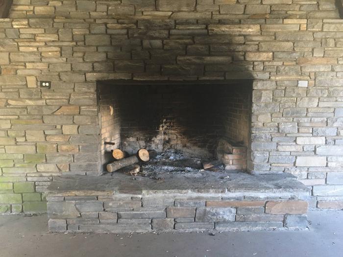
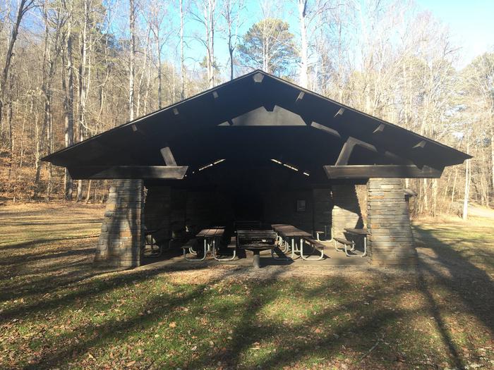
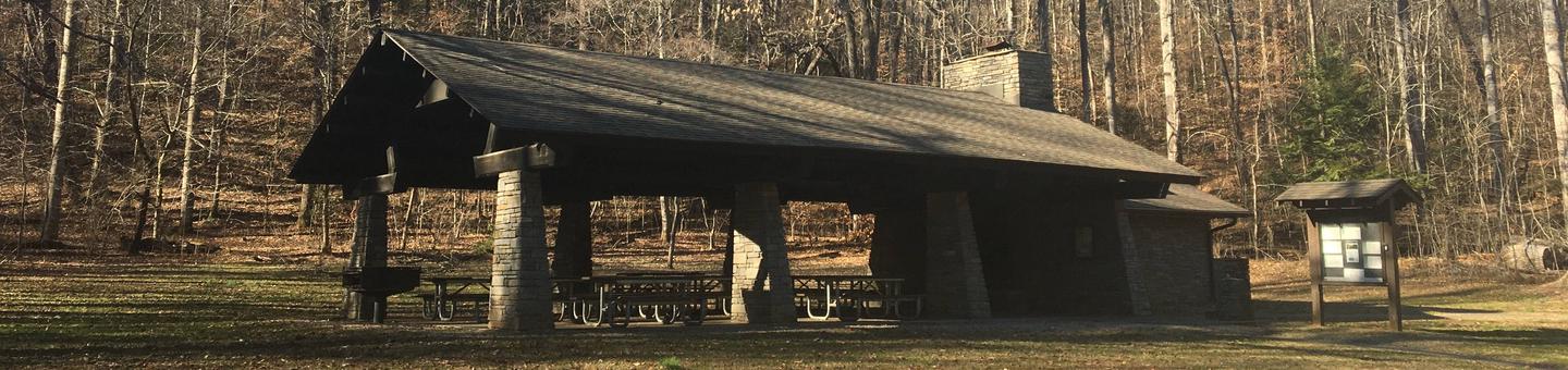
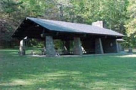
Facilities
This well-kept picnic pavilion offers room for up to 70 people and 15 covered picnic tables. There is no electricity at the site, but four elevated charcoal grills just outside the pavilion, make cooking for a crowd convenient.
Natural Features
Deep Creek provides a moderate climate, characterized by mild winters and hot, humid summers. With such close proximity to one of the park’s most popular creeks, this facility is ideal for guests looking for scenic water recreation and hiking opportunities.
Nearby Attractions
Bryson City, located about three miles away, offers grocery stores and medical facilities.