
Directions
Take Highway 36 west from Estes Park, CO or Highway 34 east from Grand Lake, CO. Off the main park road, take the Bear Lake Road, which is near the Beaver Meadows Entrance Station, and follow the signs to the campground.
Phone
970-586-1206
Activities
CAMPING, FISHING, HIKING, HORSEBACK RIDING, VISITOR CENTER, WILDLIFE VIEWING, DAY USE AREA
Keywords
CG47,Rocky Mountain National Park
Related Link(s)
Colorado State Road Conditions
Overview
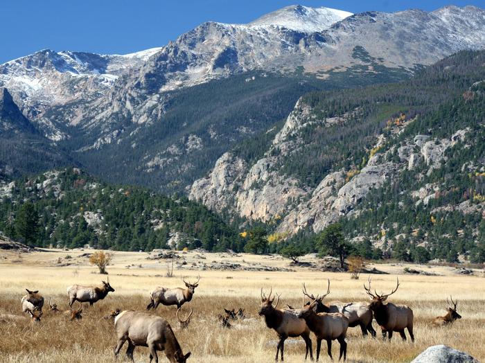
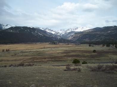
Moraine Park Campground (8,160 feet) is located in Colorado’s awe-inspiring Rocky Mountain National Park, near the Beaver Meadows Entrance on Highway 36. It is situated on the north side of Moraine Park, offering beautiful views of the vast park and the surrounding mountains.
From lush valleys to craggy peaks reaching elevations over 14,000 feet, visitors are provided opportunities for countless breathtaking experiences and adventures. Scenic driving, hiking, backpacking, fishing, horseback riding and wildlife viewing are popular activities in the park.
Recreation
Rocky Mountain National Park has 355 miles of hiking trails that range from flat lakeside strolls to steep mountain peak climbs. Visitors enjoy the park’s various lake trails (Bear Lake, Cub Lake, Mills Lake), waterfall trails (Adams Falls, Alberta Falls, Ouzel Falls) and summit trails (Deer Mountain, Twin Sisters Peaks, Flattop Mountain).
The park also offers some unforgettable scenic driving routes, including Trail Ridge Road and Old Fall River Road. Trail Ridge Road reaches 12,183′ above sea level and is America’s highest continuous highway. It climbs above the park’s evergreen forests to its windswept alpine tundra, where visitors enjoy sweeping panoramic views of the surrounding peaks and valleys.
Driving along the historic Old Fall River Road is like motoring through an earlier era. Constructed in 1920, this steep, one-way, uphill, gravel road punctuated by switchbacks quietly leads travelers from Horseshoe Park through the park’s wilderness to Fall River Pass, 11,796′ above sea level.
Several visitor centers are within the park, offering ranger-led activities, education and history about the park, and seasonal nighttime programs.
Facilities
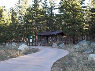
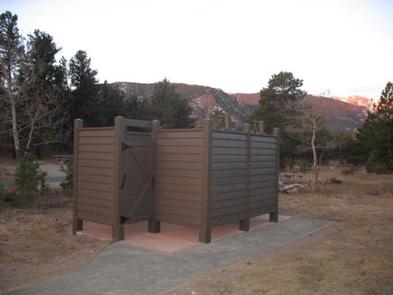
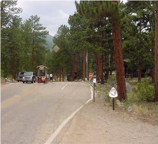
Moraine Park Campground contains single family tent-only sites, several walk-to tent sites and RV sites without hookups. Each campsite is equipped with a picnic table, fire ring with grate, and tent pad. Roads are paved and parking spurs are gravel. Flush toilets and drinking water are provided. Loops B and E have vault toilets only, and no water. Rocky Mountain National Park’s free shuttle bus stops at the campground and provides access to many park trailheads throughout the Bear Lake corridor, eliminating the hassle of finding available parking. Bring a solar-heated shower bag to hang in two solar-shower stall facilities (no running water here) at Moraine Park Campground. There are no other shower facilities in the park, but showers are available in nearby communities. Portable showers are prohibited in individual campsites.
Natural Features
A pleasant mix of Douglas fir, Lodgepole pine, Ponderosa pine and the occasional Engelmann spruce, forests the campground, offering partial shade in this open area. Grasses, shrubs and seasonal wildflowers fill the open meadows.
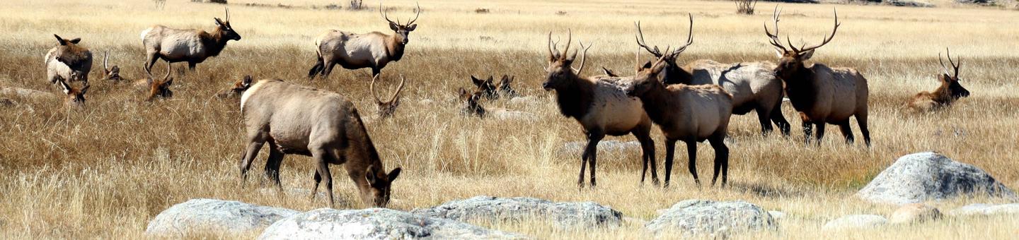
Wildlife is plentiful in the park, and while mule deer and the majestic Rocky Mountain elk are the most commonly seen, Black bear, coyote, bighorn sheep and moose inhabit the region as well.
Nearby Attractions
The town of Estes Park lies just outside the park’s main east entrances, and is a short drive from Moraine Park Campground. Dining, shopping, rafting, fly fishing, horseback riding and golfing opportunities await. Lake Estes offers boating, sailboarding and fishing.