Directions
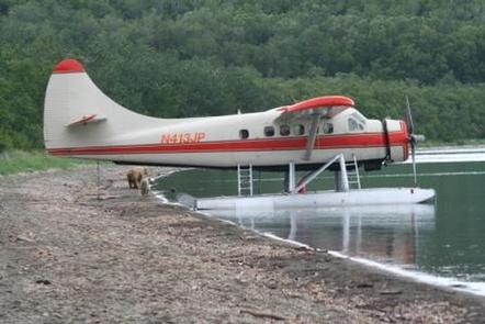
Katmai National Park & Preserve headquarters is in King Salmon, about 290 air miles southwest of Anchorage. Katmai is almost exclusively accessed by plane or boat. Regularly scheduled commercial flights to King Salmon (AKN) are available from Ted Stevens Anchorage International Airport (ANC) via PenAir, Ravn Alaska, and Alaska Airlines. Fure’s Cabin is over 20 miles by water from Brooks Camp and no public transportation is available.
Phone
907-246-3305
Activities
FISHING, HIKING, KAYAKING, CANOEING, BACKPACKING
Keywords
CG41,Katmai National Park,Katmai,Fures,Fures Cabin
Related Link(s)
National Park Services Concessionaire
Overview
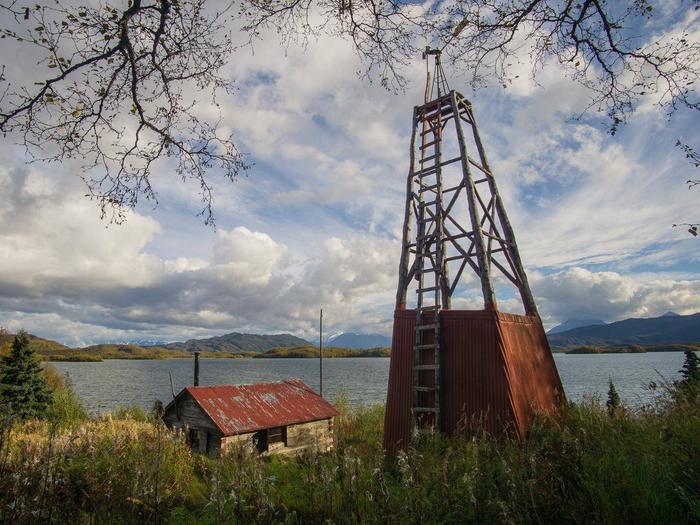
Fure’s Cabin, a beautifully constructed one-room house, is a public use cabin in Katmai National Park and Preserve. The cabin is located on the north side of the Bay of Islands in Naknek Lake and accessed by float plane or boat. Now a refuge for kayakers, canoers, and hikers, the cabin was once the home of trapper, miner, and famed Naknek local Roy Fure. The cabin was built in 1926, a labor of love. The roof, walls, and floor are made of hand-hewn spruce logs with dovetail notching reminiscent of European craftsmanship. In 1931 the land on which the cabin stands was incorporated into the expanded Katmai National Monument. Fure’s cabin was listed on the National Register of Historic Places in 1976.
Recreation
Fure’s Cabin is a key stopover for those attempting the Savonoski Loop paddle trip, or as a beautiful destination in its own right. It is not an alternate for Brooks Camp Campground and requires a full day of paddling to reach, or the use of a boat or plane. View a list of authorized commercial partners that may provide transportation services to Fure’s Cabin. Paddlers originating from Brooks Camp should allow one to three days to travel the 32 miles along shorelines from Brooks Camp to Fure’s Cabin in the Bay of Islands.
Facilities
The cabin accommodates up to four people and is furnished with a bunk bed, table, chairs, and a wood burning stove. Limited firewood is available on site. Guests must bring all supplies including bedding, sleeping pad, water, food, toilet paper, flash light or lantern, garbage bags, cook stove and cooking supplies. Consider packing all the supplies needed when camping. A fire ring is located in front of the cabin. Dead/downed wood may be gathered for campfires. One vault toilet is available 50 yards uphill from the cabin.
Natural Features
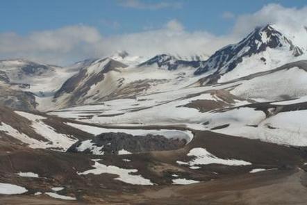
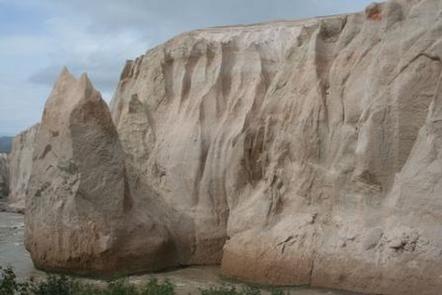
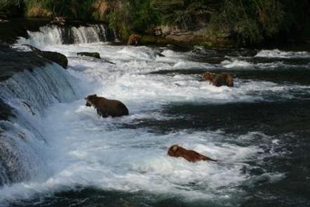
Katmai National Monument was established in 1918 to protect the volcanically devastated region surrounding Mount Katmai and the Valley of Ten Thousand Smokes. Today, Katmai National Park and Preserve remains an active volcanic landscape, but it also protects 9,000 years of human history as well as important habitat for salmon and the thousands of brown bears that feed on them.
Charges & Cancellations
Fure’s Cabin follows the standard Recreation.gov cabin cancellation policy.

