

Directions
Seasonal phone is 828-488-3184
From downtown Bryson City, NC: Follow signs to Deep Creek, 3 miles away.
Phone
828-488-3184 OR 865-436-1261
Activities
HISTORIC & CULTURAL SITE, CAMPING, FISHING, HIKING, HORSEBACK RIDING, VISITOR CENTER, WILDLIFE VIEWING
Keywords
CG31,Great Smokey Mountains National Park,Great Smoky Mountains National Park,”Flaming Gorge National Recreation Area”
Related Link(s)
National Park Services Concessionaire
North Carolina State Road Conditions
Overview
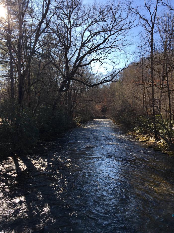
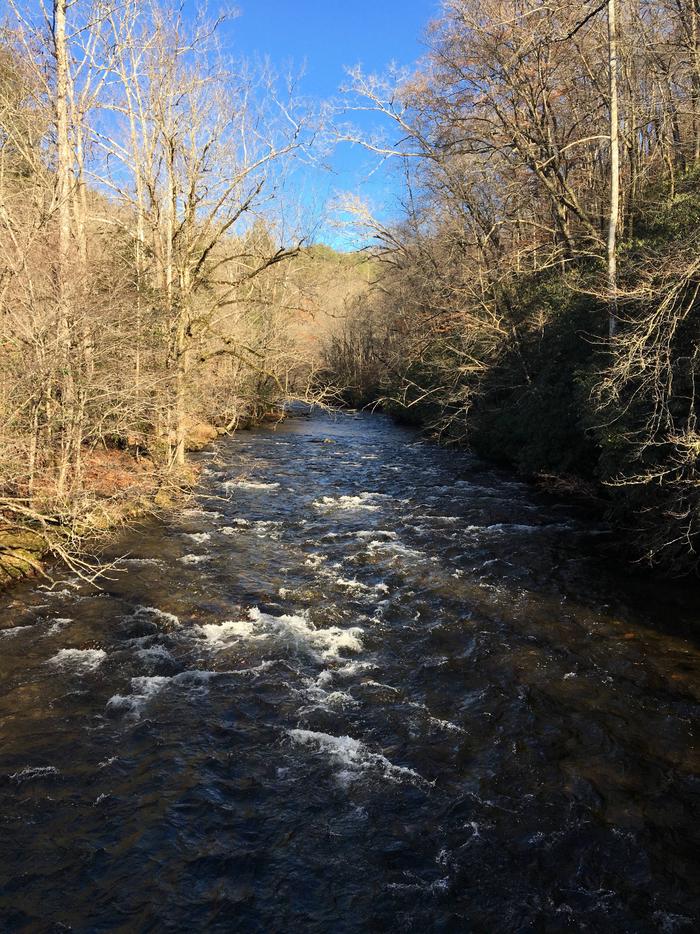
Located next to one of the most popular creeks in the Great Smoky Mountains National Park, Deep Creek Group Camp provides traditional primitive camping with the stunning backdrop of the mountains. Whether blanketed in bright wildflowers in the spring or vivid colors in the fall, the scenery at Deep Creek never disappoints.
Recreation
Great Smoky Mountains National Park is a hiker’s paradise, with plenty of trails easily accessible from the Deep Creek Group Site. An easy 1.6 mile roundtrip hike will allow you to enjoy two beautiful waterfalls in the Deep Creek area. Walk Deep Creek Trail 0.7 mile to the junction with Indian Creek Trail. On your way you can view elegant Tom Branch Falls located on the far side of Deep Creek. Turn right at the junction with Indian Creek Trail and proceed approximately 200′ to Indian Creek Falls. The falls are 25 feet in height.
Deep Creek runs on the edge of the campground and provides easily accessible fishing, wading and tubing. Visitors can also enjoy high-quality backcountry fishing in the cool waters of the countless streams and rivers that snake through the mountains, with trout available in abundance.
Facilities
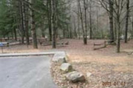
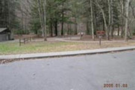
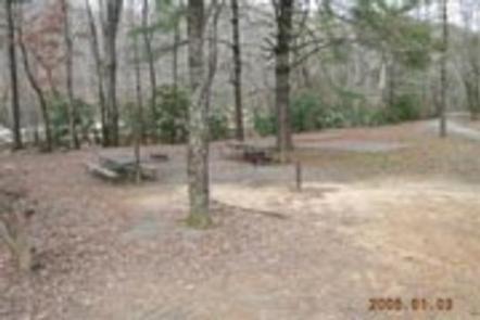
The camp offers three group sites, all with grills, tables and campfire rings, perfect for a family meal or a late-night s’mores session. Hookups and showers are not provided, but flush toilets and drinking water are available.
Natural Features
Deep Creek is in the southeastern portion of the park and provides a moderate climate, typified by mild winters and hot, humid summers. Because of it’s proximity to water, Deep Creek is an ideal campground for water recreation and books up quickly during summer months.
Nearby Attractions
Although the Deep Creek Group Camp is available by reservation only, the nearby Deep Creek Campground offers first-come, first-served camping, and can also accommodate RV campers.
Bryson City, located about three miles away, offers grocery stores and medical facilities.