BIG HART CAMPGROUND, GA Campground Reservation, Info, Images, Map, Directions

BIG HART CAMPGROUND, Georgia Campground Images, Info & Reservations

Directions

From I-20, take Exit 172 (Thomson/HWY 78) and continue north 8 miles on HWY 78 to Russell Landing Road. Turn right and travel east 4 miles to campground.

Phone

(706) 595-8613

Activities

CAMPING

Keywords

BIGH,J STROM THURMOND LAKE

Related Link(s)

Rec Area Info & Images

Georgia State Tourism

Georgia State Road Conditions

Overview

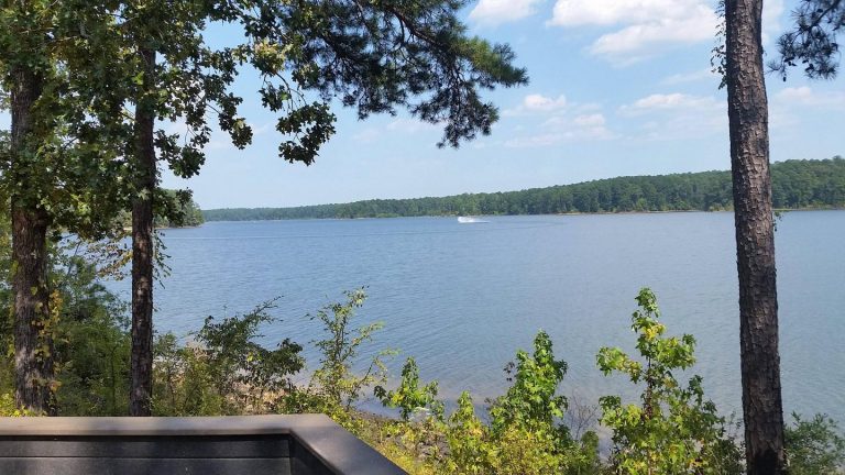
Big Hart Campground is located at the confluence of Big Creek and Hart Creek on the western end of beautiful J. Strom Thurmond Lake, the largest Corps of Engineers lake project east of the Mississippi River.

The 70,000 acre lake and its 1,000+ miles of shoreline provide excellent boating, water skiing, swimming, fishing, hiking and picnicking.

Recreation

Thurmond Lake provides some of the best fishing, hunting, and water sports in the southeastern United States. Anglers fish for largemouth bass, bream, crappie, catfish and striped bass. The large lake offers endless boating, water skiing, jet skiing, canoeing and swimming opportunities.

Facilities

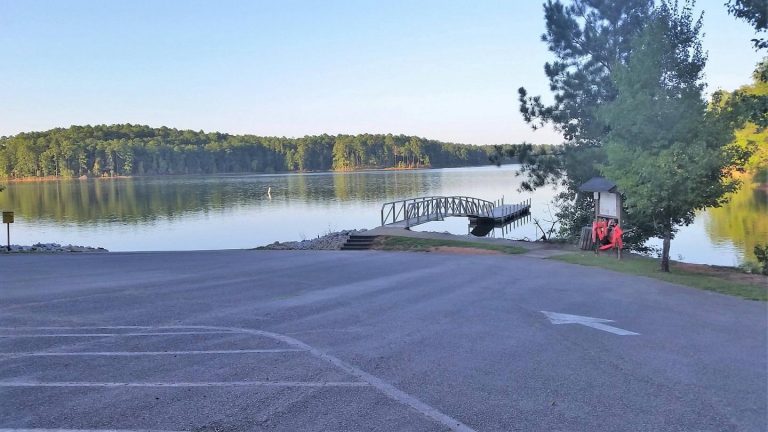
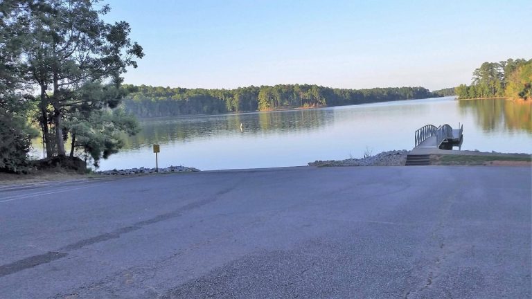
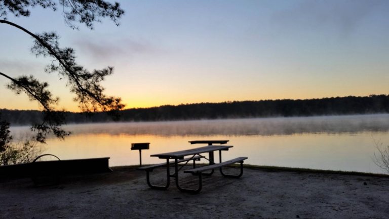
Big Hart Campground is situated in a wooded area on the waterfront. One group campsite and 31 family campsites are available, all with 50-amp electrical hookups. Amenities include flush and vault toilets, showers, drinking water, a dump station, playground, beach, boat ramp and dock.

Natural Features

Hot, humid summers and mild, pleasant winters characterize this heavily wooded area on the shore of Thurmond Lake. A mixed pine and hardwood forest covers the site, providing summer shade and fall color. Elevation is 235′ above sea level.

Wildlife is abundant around the lake. Visitors regularly see southern bald eagles, migratory waterfowl, wild turkeys and whitetail deer.

Nearby Attractions

Numerous parks and recreation areas lie around Thurmond Lake, providing additional boating, swimming, hunting, and hiking opportunities. Nearby cities house museums, art galleries, zoos, restaurants, and shopping areas.

The Augusta National Golf Club hosts the Masters Golf Tournament annually the first week of April.

Reservation

More from CampingHiking.net:

CHEOAH POINT CABIN 1, North Carolina Campground Images, Info & Reservations

Directions From Robbinsville, North Carolina, continue on Highway 129 north for approximately 6 miles. Turn left on SR # 1145 – Thunderbird Mountain Road. Continue approximately 1.3 miles on Thunderbird Mountain Road to the Cheoah Point Campground. The cabin is located in the Cheoah Point Campground. Phone 828-479-6431 Activities CAMPING,

COCHITI AREA, New Mexico Campground Images, Info & Reservations

Directions From Albuquerque, New Mexico, take Interstate 25 north to exit 259. Turn west on State Route 22 and proceed through Pena Blanca to the park office and recreation area. Phone 505-465-2557 Activities BIKING, CAMPING, FISHING, HIKING, WILDLIFE VIEWING, DAY USE AREA, SWIMMING SITE, PADDLING Keywords COCA,COCHITI LAKE Related Link(s)

Crescent Lake Campground, Oregon Campground Images, Info & Reservations

Directions From Crescent, travel 12.2 miles west on County Road 61, then 3.5 miles north on Highway 58, then 2.6 miles west on Forest Road 60. Phone 541-323-1746 Activities BIKING, BOATING, CAMPING, FISHING, HIKING, WINTER SPORTS, WATER SPORTS, SWIMMING SITE Keywords CRESCENT LAKE (OR) Related Link(s) Rec Area Info &

CHAPMAN CAMPGROUND AND GROUP, Colorado Campground Images, Info & Reservations

Directions Take I-70 west of Denver to Glenwood Springs, Colorado. Take exit 116 (Highway 82) south to Basalt. At Basalt, take Frying Pan Road. Go 29 miles to Chapman Campground. Phone 970-927-0107 Activities BIKING, CAMPING, FISHING, HIKING, WILDLIFE VIEWING Keywords CHAP,CHAPMAN LAKE,WHITE RIVER NF -FS Related Link(s) Rec Area Info

EAST FORK CALIFORNIA, California Campground Images, Info & Reservations

Directions From Bishop or Mammoth Lakes, California, follow U.S. Highway 395 (about 30 miles north of Bishop). Take the Tom’s Place exit and go 6 miles on Rock Creek Road. Phone 760-935-4825 Activities CAMPING, FISHING, HIKING, HORSEBACK RIDING, PICNICKING, WILDLIFE VIEWING Keywords EASF,INYO NF – FS Related Link(s) Rec Area

DAVIS CANYON CAMPGROUND, Utah Campground Images, Info & Reservations

Directions Take U.S. Highway 89 north from Garden City, Utah, or south from Montpelier, Idaho, to St. Charles. Drive west from St. Charles along Forest Road 412 about 6 miles to the campground. Phone 541-351-1182 Activities BOATING, CAMPING, FISHING, HIKING, HUNTING Keywords None Related Link(s) Rec Area Info & Images