
Directions
From Nashville, TN. Travel East on I-40 to exit 221A. Continue onto TN-45/Old Hickory Blvd. Turn right onto US-70/Lebanon Pike. Turn left onto Nonaville Road and travel until reaching a 4-way stop. Turn right at the 4-way stop onto Saundersville Road. The recreation area will be at the end of the road.
Phone
615-754-4947
Activities
BOATING, CAMPING, FISHING, SWIMMING
Keywords
CED1,OLD HICKORY LAKE,OLD HICKORY LAKE
Related Link(s)
Tennessee State Road Conditions
Overview
Cedar Creek Campground on Old Hickory Lake in north-central Tennessee, offers 60 campsites and limitless options for activities like boating, hiking, fishing and relaxing on the swim beach. A picnic shelter located in the day use area may also be reserved on weekdays throughout the summer. The lake is named after the 7th U.S. President, Andrew Jackson, a Tennessee-native who earned the nickname “Old Hickory,” because of his tough, aggressive personality.
Recreation
Sailing, swimming and fishing are popular activities for visitors interested in water sports, while birders and wildlife viewers will delight in the abundance of migratory songbirds, waterfowl and white-tailed deer. Wild turkeys and rabbits also frequent the area.
Facilities
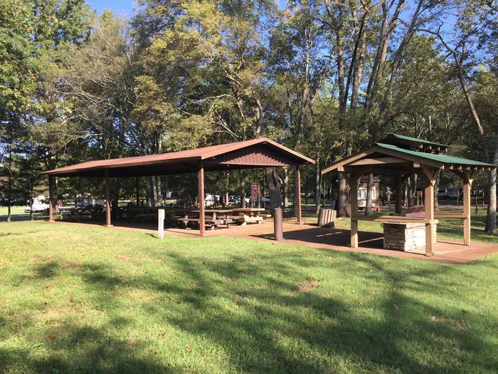
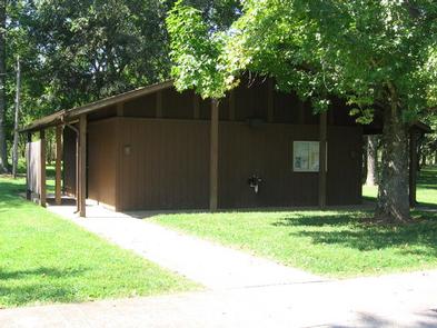
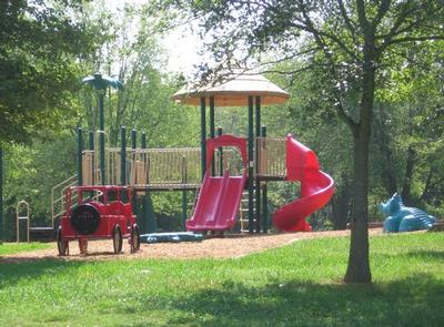
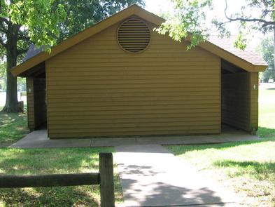
Modern amenities such as laundry facilities and hot showers are available for a more comfortable camping experience. Sites also come with water and electric hookups for added convenience. Families will enjoy the playground, and visitors looking to entertain will find the group picnic shelter, which accommodates up to 50 guests, to be an excellent gathering spot. Parking, however, is not guaranteed.
Natural Features
Old Hickory Lake is a 22,500 acre reservoir, primarily fed by the waters of the Cumberland River. The lake is surrounded by shady wooded areas and grassy flatlands, and offers an impressive 440 miles of scenic shoreline.
Nearby Attractions
Cedar Creek is just beyond the Nashville metropolitan area. Head to the “Music City” to tour the Country Music Hall of Fame or explore former President, Andrew Jackson’s early 19th century home, “The Hermitage,” a National Historic Landmark. Also located just minutes from the park is the Shutes Branch Mountain Bike Trail.
Charges & Cancellations
* Once your reservation has been created, there will be a $10.00 fee to cancel and a $10.00 fee to change your site or dates. * Cancellations made the day before, or up to the day after your arrival date will also be charged the first nights use fee. * No-Shows are charged a $20.00 fee plus the first nights use fee. * If your reservation is for 1 night, and you have been charged the first nights use fee, there is no $10.00 service fee.