
Directions
From Mountain Home, AR, travel 5 miles east on US 412/62, turn left onto Cranfield Road (CR 34) for 3 miles to the park entrance. Follow signs into the campground.
Phone
870-492-4191
Activities
BOATING, CAMPING, DAY USE AREA, SWIMMING SITE
Keywords
CRAN,NORFORK LAKE,NORFORK LAKE
Related Link(s)
Arkansas State Road Conditions
Overview
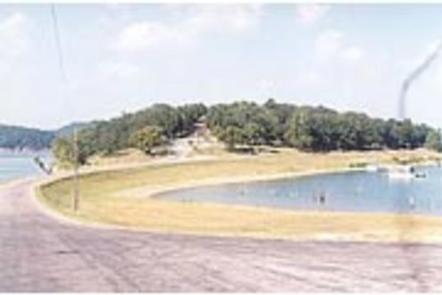
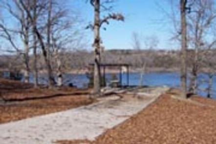
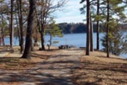
Cranfield Park is surrounded by the clear waters of Norfork Lake. It’s the closest campground to the city of Mountain Home and offers plenty of pleasing views of the lake from its well-shaded river island sites.
Norfork Lake boasts plenty of secluded coves for water sports and breezy, open stretches for sailing. Including Cranfield, there are 19 developed U.S. Army Corps of Engineers parks lining the lake for plenty of water sport opportunities.
Recreation
Hiking trails in the area lead nature observers and photographers to picturesque overlooks of the Ozarks. A .75-mile nature trail is accessible from the campground.
A wide array of fresh water game fish are found in the lake, which is fed by the North Fork River and its tributaries. Bass, walleye, crappie, bream and catfish all make their home here.
Facilities
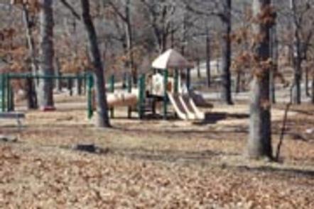
A marina and boat ramp are on hand for easy access to water sports. The 69 campsites have electric hookups, two playgrounds and an amphitheater, among other modern conveniences. Two day-use group shelters are available for reservation.
Natural Features
Norfork Lake covers 22,000 acres with 550 miles of shoreline. Densely wooded hills and hollows surround the lake in the Ozark Mountains.
The North Fork River feeds into the lake, and beyond the dam, extends on to connect with the White River.
Nearby Attractions
The Robinson Point National Recreation Trail is a beautiful hike especially during the fall months, for views of the Ozark Mountains’ changing colors through the seasons.
Drive just over five miles to visit the town of Mountain Home, considered one of the best places to live for sportsmen.