

Directions
From Atlanta, take I-75 north to Exit 293, then Highway 411 north to Highway 136. Turn right on Highway 136 and follow to Highway 382. Turn left on Highway 382 and look for signs to the campground– access road is directly across from the volunteer fire station. Physical address is 1362 Doll Mountain Road,Ellijay, GA 30540
Phone
706-276-4413
Activities
BOATING, CAMPING, FISHING
Keywords
DOLL,CARTERS LAKE,CARTERS,DOLL MT CAMPGROUND,CARTERS LAKE
Related Link(s)
Overview
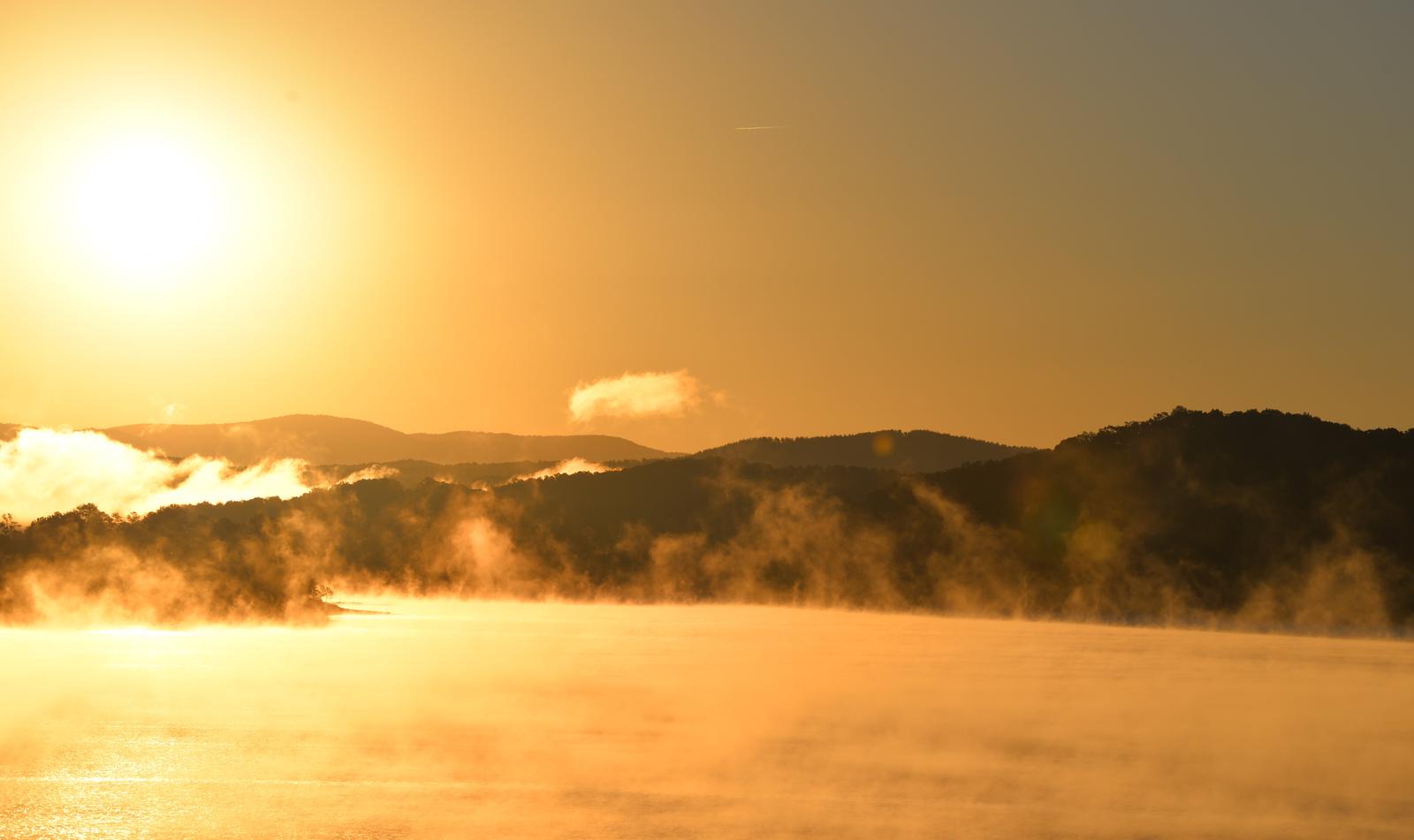
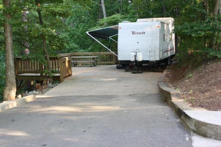
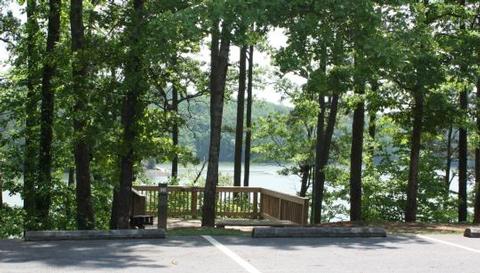
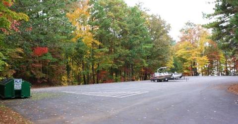
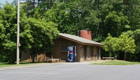
Doll Mountain Campground is located in the North Georgia Mountains on beautiful Carters Lake, Which is just a short 70 miles north of Atlanta. Carters Lake provides clean, safe, and quiet campgrounds that help you escape the hustle and bustle of your day to day routine and relax with your family. Doll Mountain offers boating, picnicking at the day use area, and many other summer time activities. Doll Mountain, one of the larger campgrounds offering 68 campsites to choose from.The majority of them are RV hook ups, so you can enjoy the great outdoors while remaining comfortable with your family. Doll Mountain also provides easy access to the water with its own boat ramp and boat trailer parking area. Facilities include, play grounds, covered seating areas, and two large, clean restrooms which include washers and dryers for your convenience. Doll Mountain guarantees a pleasant camping experience and several summer activities for the whole family to enjoy.
Recreation
Boaters visit Carters Lake to enjoy its solitude and scenic beauty. Whether in a powerboat or sailboat on the open water or paddling along the shoreline in a canoe, Carters Lake offers enjoyable boating experiences for everyone.
Fishing is a popular activity on the lake. Major species include bass (largemouth, smallmouth, hybrid, striped and spotted) crappie, walleye, bream and catfish.
Bank fishing locations are limited due to steep shoreline terrain, but six boat ramps are scattered around the shoreline, offering easy access to the lake.
Facilities
The heavily wooded campground contains RV and tent-only sites, many of which have electric hookups. Flush toilets, showers and drinking water are provided. Additional amenities include a children’s playground and a dump station.
Natural Features
Carters Lake embraces a spectacular tract of foothills scenery in the Blue Ridge Mountains of north Georgia. It covers 3,200 surface acres and has 62 miles of undeveloped shoreline.
Nearby Attractions
Ridgeway Park and the Woodring Branch Recreation Area are each located within a 45-minute drive from Doll Mountain Campground. Hiking and mountain biking trails in each park offer beautiful scenery and a mix of easy to challenging terrain.