
Directions
From North East Atlanta; I-575 North to Carters Lake Exit. Follow signs to desired project locations. From North Atlanta; I-75 North to Exit 293 then Right on Hwy 136. Follow signs to desired project locations. From Chattanooga TN. I-75 South to Exit 336.
Phone
(706) 334-2248
Activities
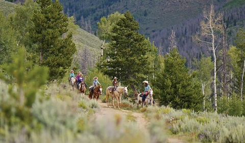
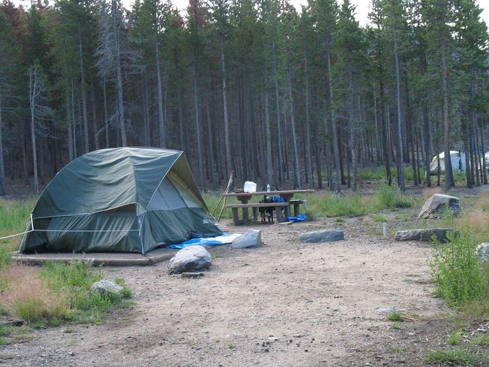
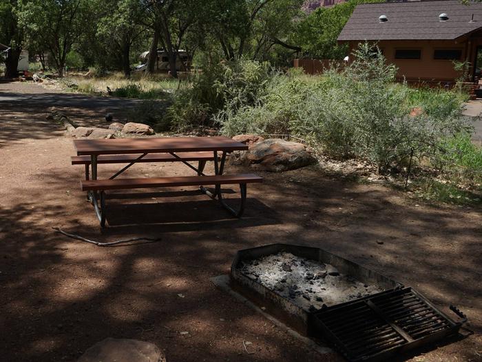
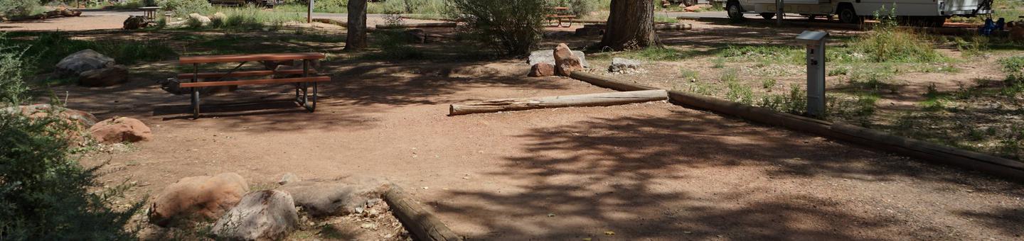
BIKING, BOATING, CAMPING, FISHING, HIKING, PICNICKING, WATER SPORTS, WILDLIFE VIEWING, PLAYGROUND PARK SPECIALIZED SPORT SITE, OTHER RECREATION CONCESSION SITE, HOTEL/LODGE/RESORT PRIVATELY OWNED
Camping Reservations
Reserve your campsite at these camping areas:
REREG DAM DAY USE AREA SHELTER
NORTHBANK DAY USE AREA SHELTER
DOLL MOUNTAIN DAY USE AREA SHELTER
Hiking Trails
Looking for nice hiking areas to take a hike? Choose from these scenic hiking trails:
Related Link(s)
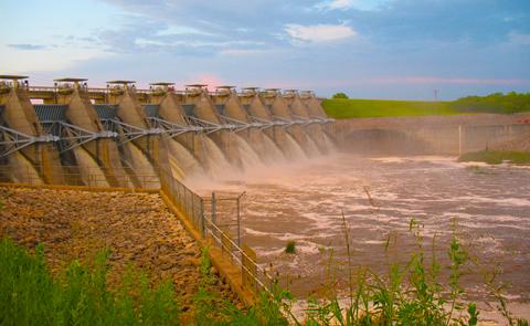
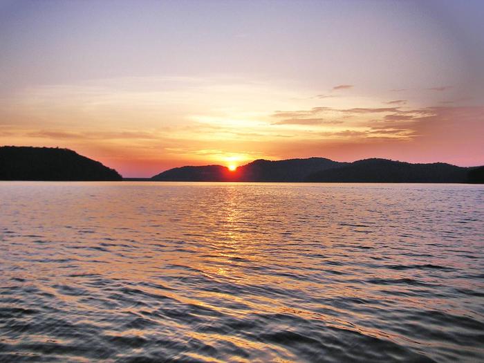
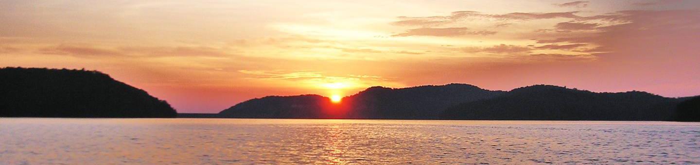
Carters Lake Project is managed by the U.S. Army Corps of Engineers, Mobile District. Carters Lake is one of the most scenic lakes in the Southeast. Located at the southern end of the Blue Ridge Mountains, its sparkling waters and rugged shoreline provide a beautiful surrounding for a variety of recreational opportunities which includes: camping, picnicking, boating, fishing, and hunting.