
Directions
From Augusta, GA, travel 22 miles west on GA-104, then 4 miles north on US HWY 221.
Phone
800-533-3478
Activities
BIKING, BOATING, FISHING, HIKING, PICNICKING, DAY USE AREA, SWIMMING SITE, SWIMMING, ACCESSIBLE SWIMMING, LOOKOUT TOWER
Keywords
LASC,J STROM THURMOND LAKE
Related Link(s)
Overview
Lake Springs Recreation Area is one of the most popular parks on J. Strom Thurmond Lake. The park is located on Georgia State Highway 221 within twenty minutes of Augusta, Georgia.
The 70,000 acre lake and its 1,000+ miles of shoreline provide excellent boating, water skiing, swimming, fishing, hiking and picnicking.
Recreation
Thurmond Lake provides some of the best fishing, hunting and water sports in the southeastern United States. Anglers fish for largemouth bass, bream, crappie, catfish and striped bass. The large lake offers endless boating, water skiing, jet skiing, canoeing and swimming opportunities.
Hikers have access to many miles of trails in the immediate area. Within the Lake Springs Recreation Area is the 1.8-mile Lake Springs Loop. Outside the park stretches the 27-mile Bartram Trail, which meanders along the scenic shoreline and through Wildwood Park. Shorter sections can be hiked from several intersecting trailheads.
Facilities
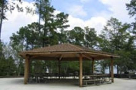
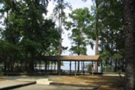
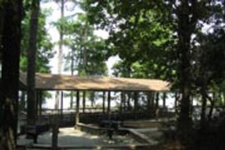
Lake Springs Recreation Area is a wooded day-use area with four group picnic shelters. Water and electrical hookups are provided at each shelter. Other amenities include flush and vault toilets, drinking water, a boat ramp, dock, fish cleaning station, playground and lookout tower.
Natural Features
Hot, humid summers and mild, pleasant winters characterize this heavily wooded area on the shore of Thurmond Lake. A mixed pine and hardwood forest covers the site, providing summer shade and fall color. Elevation is 345′ above sea level.
Wildlife is abundant around the lake. Visitors regularly see southern bald eagles, migratory waterfowl, wild turkeys and whitetail deer.
Nearby Attractions
Numerous parks and recreation areas lie around Thurmond Lake, providing additional boating, swimming, hunting and hiking opportunities. Nearby cities house museums, art galleries, zoos, restaurants, and shopping areas.
The Augusta National Golf Club hosts the Masters Golf Tournament annually the first week of April.