MODOC, SC Campground Reservation, Info, Images, Map, Directions

MODOC, South Carolina Campground Images, Info & Reservations

Directions

From I-20, take Exit 200 (River Watch Parkway). Turn right, drive 2 miles to Furys Ferry Road (HWY 28 West). Turn right, drive 13 miles to Clarks Hill, SC. Continue northwest on HWY 221 for approximately 4 miles to campground entrance.

Phone

864-333-2272

Activities

BOATING, CAMPING, FISHING, SWIMMING, KAYAKING

Keywords

MODO,J STROM THURMOND LAKE

Related Link(s)

Rec Area Info & Images

South Carolina State Road Conditions

South Carolina State Tourism

Overview

Modoc Campground is a popular park on J. Strom Thurmond Lake, just 5 miles from the Thurmond Visitor Center and Dam. The 70,000 acre lake and its 1,000+ miles of shoreline provide excellent boating, water skiing, swimming, fishing, hiking and picnicking.

Recreation

Thurmond Lake provides some of the best fishing, hunting and water sports in the southeastern United States. Anglers fish for largemouth bass, bream, crappie, catfish and striped bass. The large lake offers endless boating, water skiing, jet skiing, canoeing and swimming opportunities.

Facilities

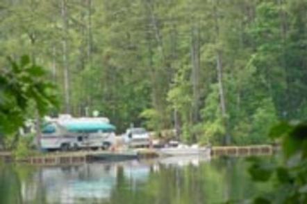
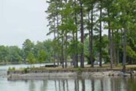
This campground, made up of two peninsulas, contains 68 sites with electrical hookups and 1 primitive site.

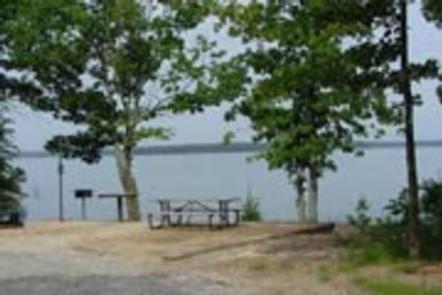
Each peninsula has a boat ramp, playground, hiking trail and beautiful views of the lake. Other amenities include flush and vault toilets, drinking water, showers, laundry facilities and a dump station.

A picnic shelter is available on a first come, first served basis.

Natural Features

Hot, humid summers and mild, pleasant winters characterize this heavily wooded area on the shore of Thurmond Lake. A mixed pine and hardwood forest covers the site, providing summer shade and fall color.

Wildlife is abundant around the lake. Visitors regularly see southern bald eagles, migratory waterfowl, wild turkeys and whitetail deer.

Nearby Attractions

Numerous parks and recreation areas lie around Thurmond Lake, providing additional boating, swimming, hunting and hiking opportunities. Nearby cities house museums, art galleries, zoos, restaurants, and shopping areas.

The Augusta National Golf Club hosts the Masters Golf Tournament annually the first week of April.

Reservation

More from CampingHiking.net:

LEAD HILL, Arkansas Campground Images, Info & Reservations

Directions From Lead Hill, AR, travel 4 mi. on SR 7 N and follow signs into campground. Phone 870-422-7555 Activities BOATING, CAMPING, SWIMMING SITE Keywords LEAD,BULL SHOALS LAKE,BULL SHOALS LAKE Related Link(s) Rec Area Info & Images Arkansas State Tourism Arkansas State Road Conditions Overview Lead Hill Campground is a

NEBRASKA TAILWATERS, Nebraska Campground Images, Info & Reservations

Directions From Yankton, South Dakota, go south on U.S. Highway 81 for 2 miles, then west on Nebraska Highway 121 for 4 miles, campground entrance will be on your right. Phone 402-667-2546. FOR RESERVATIONS, CALL 877-444-6777. Activities BIKING, BOATING, CAMPING, FISHING, PICNICKING, WILDLIFE VIEWING, PHOTOGRAPHY, WATER ACCESS Keywords NEBR,GAVINS POINT,LEWIS

STONY CABIN, Montana Campground Images, Info & Reservations

Directions From Philipsburg, travel west on Rock Creek Road/County Road 348 for approximately 14 miles, then turn right onto Rock Creek Road/County Road 102 and continue about 5 miles. Turn left at Stony Creek Road/County Road 241 and the cabin is about a quarter-mile on the right. Depending on snow

ASPEN GROUP AREA, New Mexico Campground Images, Info & Reservations

Directions In southeast New Mexico, approximately 20 miles east of Alamagordo. From Alamagordo take US 82 east and go 16 miles. Just before Cloudcraft turn right (South) on NM 130. Go 1.4 miles. Turn left (east) on Forest Road 24B, go 0.5 miles. Aspen Group Area is on the left

BEAR CREEK, Texas Campground Images, Info & Reservations

Directions From Interstate 20 or 820 in southwest Fort Worth, take exit 429A for Highway 377 toward Granbury and go south 5.7 miles (9.2 km); turn left or southeast onto FM Road 1187 and continue for 1.4 miles (2.2 km), then turn left or east onto Ben Day-Murrin Road and