
Directions
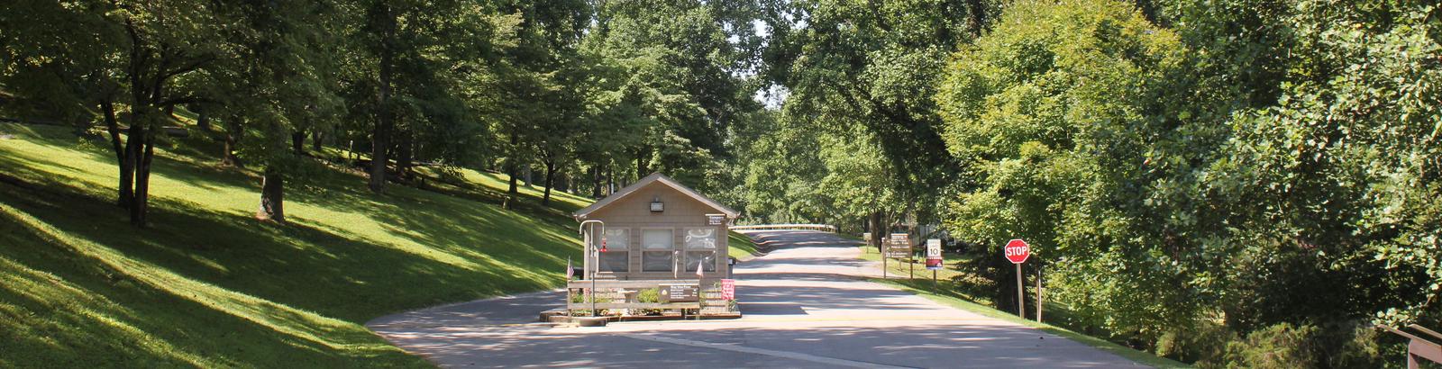
From Smithville, Tennessee, take US-70 east for 8 miles. Turn left on Ragland Bottom Road and follow signs to the campground, located one mile from Sligo Bridge.
Phone
931-761-3616
Activities
BOATING, CAMPING, FISHING, HIKING, SWIMMING, WATER ACCESS, WATER SKIING
Keywords
RAGL,CENTER HILL LAKE,CENTER HILL LAKE
Related Link(s)
Tennessee State Road Conditions
Overview
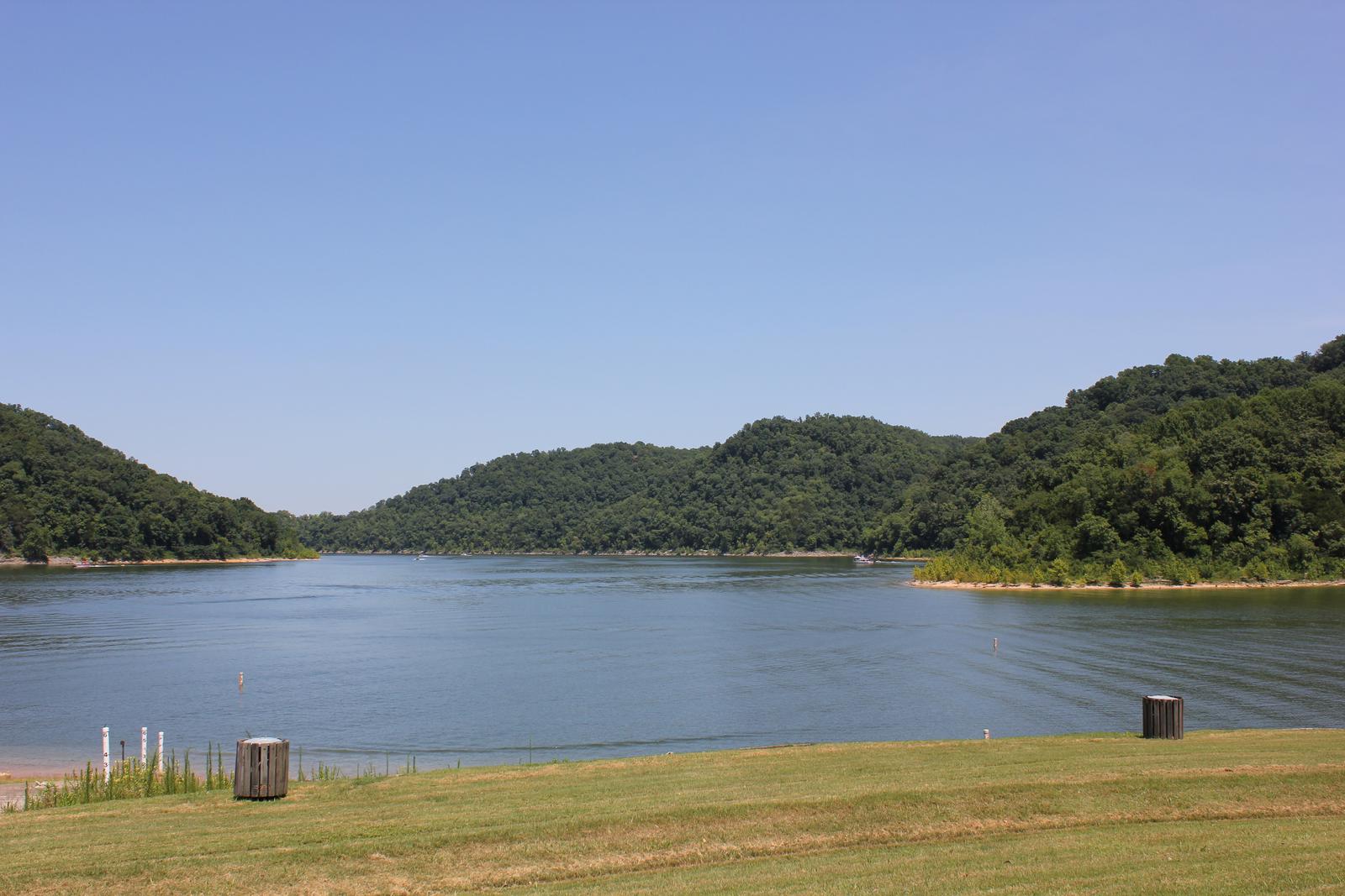
Ragland Bottom Campground is located on the shores of the scenic Center Hill Lake on central Tennessee’s Highland Rim.
The lake stretches 64 miles up the Caney Fork River, where visitors come to enjoy boating, fishing and water sports. The 415 miles of forested shoreline provide excellent hiking, hunting and camping opportunities.
Recreation
Boating, waterskiing, canoeing and fishing are popular activities on the water.
Anglers will find bream, walleye, smallmouth bass, crappie, catfish and white bass. Below the dam, the Caney Fork River is one of the most productive trout fisheries in the state.
Nine miles of hiking trails meander around the lake. The Red Post Trail is a short, but steep, two-mile trail that loops above the campground. Hikers who brave the moderately difficult climb are rewarded with beautiful overlooks of the lake and nearby Sligo Bridge and Marina.
Facilities
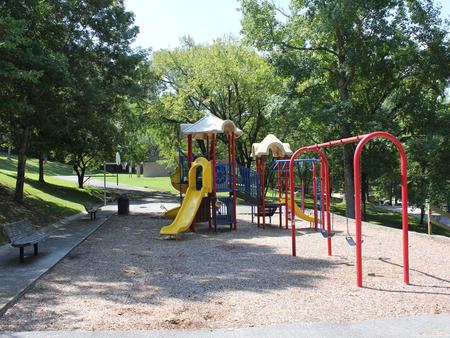
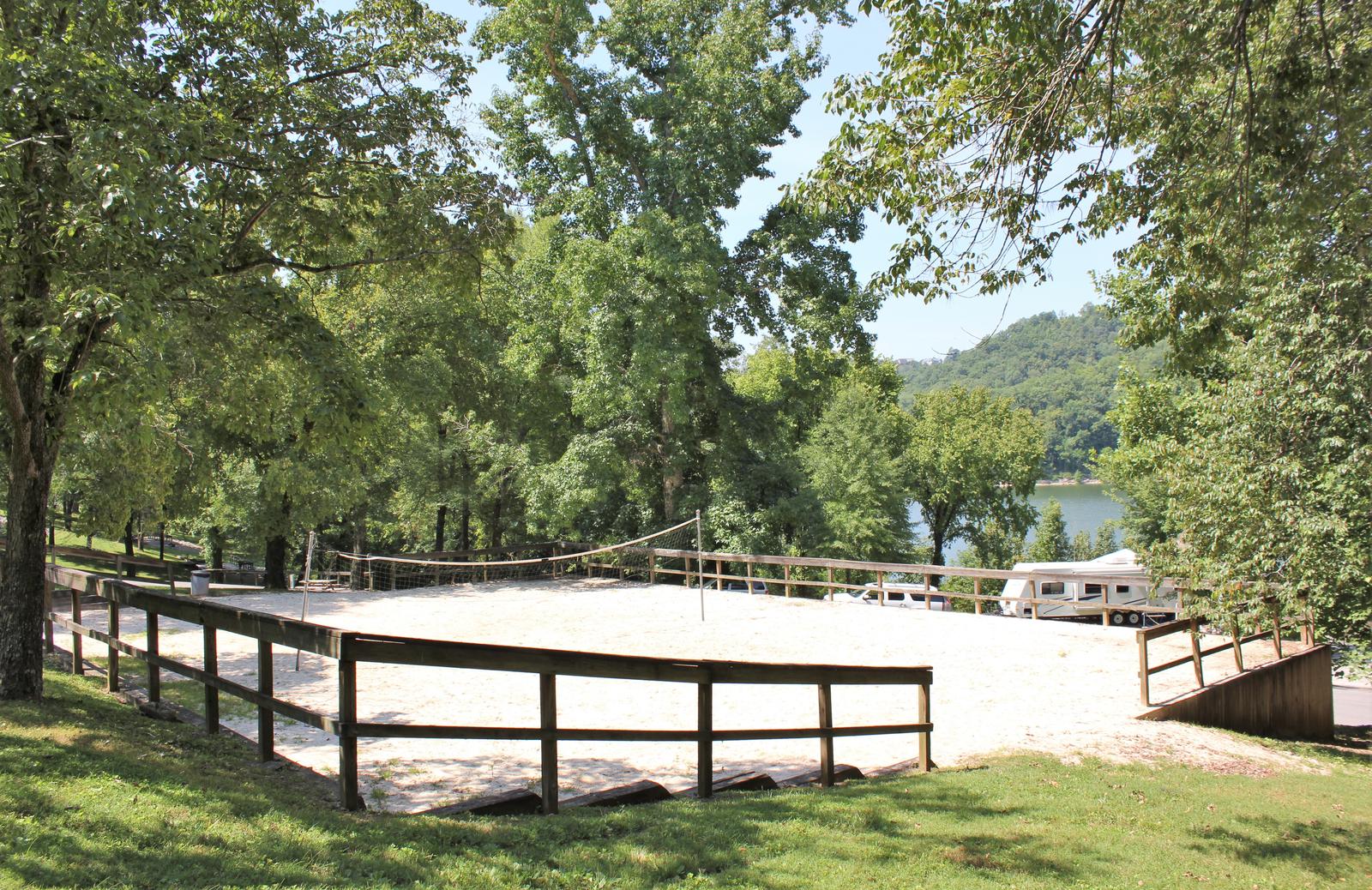
This waterfront campground offers 40 sites with water and electric hookups, as well as 16 primitive tent sites. A large group day-use picnic area is available as well, with water and 15-amp electric hookups. Amenities like flush toilets, showers and drinking water are provided, creating a comfortable camping experience for guests. A boat ramp, volleyball court, basketball goal, playground and hiking trail are all conveniently located within the campground. The adjacent day-use area has a group picnic shelter, boat ramp, and swimming beach.
Natural Features
Center Hill Lake is surrounded by lush mixed hardwood forests in the hilly Highland Rim region. Beautiful dogwoods bloom in the campground in springtime. Whitetail deer, wild turkey, squirrels and rabbits roam the wooded hills around the lake.
Nearby Attractions
Burgess Falls State Park is a 25-minute drive from the campground. Here, the Falling Water River drops approximately 250 feet, creating numerous breathtaking waterfalls. Hiking trails and overlooks help visitors enjoy the scenery. The large Native Butterfly Garden is a popular attraction within the park.