
Directions
From downtown Nashville, TN, take I-40 east for 7 miles and to exit 221B. Turn right onto Old Hickory Boulevard, then left on Bell Road, right on New Hope Road and left on Stewarts Ferry Pike. Follow the signs to the campground.
Phone
(615)-889-5198
Activities
BOATING, CAMPING, FISHING, HIKING, WILDLIFE VIEWING, SWIMMING SITE, KAYAKING, CANOEING
Keywords
SEVE,J. PERCY PRIEST,PERCY PRIEST LAKE,SEVEN POINTS TN,J PERCY PRIEST DAM
Related Link(s)
Tennessee State Road Conditions
Overview
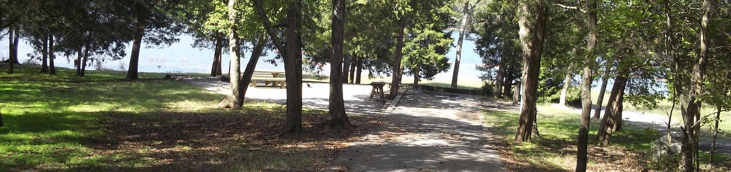
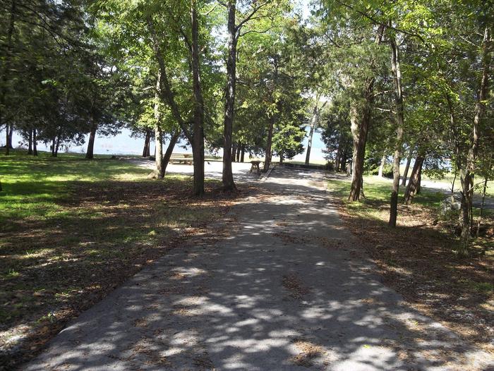
Seven Points Campground is a lakeside oasis in the green hills of Tennessee, providing visitors with countless recreational activities on the lake and the surrounding miles of woods and grasslands.
Recreation
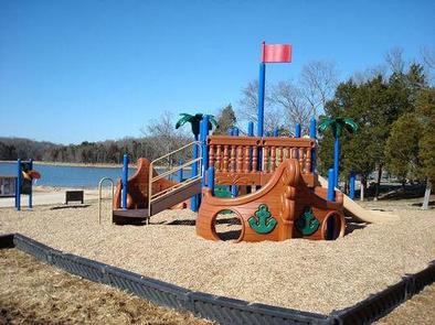
The lake provides a variety of outdoor recreational opportunities for millions of visitors each year. Because of the temperate climate and relatively long recreation season, visitors have numerous activities to choose from, including fishing, hunting, picnicking, boating, canoeing, hiking, horseback riding and wildlife viewing.
Fishing opportunities abound at J. Percy Priest Lake, with a wide variety of species available, including largemouth and smallmouth bass, crappie, striped bass, Cherokee bass, and white bass. Other species such as catfish, bluegill, bream and trout provide excellent opportunities for younger anglers.
The Three Hickories Nature Trail is located in nearby Cook Recreation Area and features a 1.6 miles of nature trail through the wooded area.
Facilities
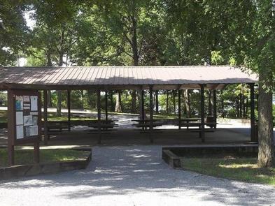
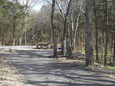
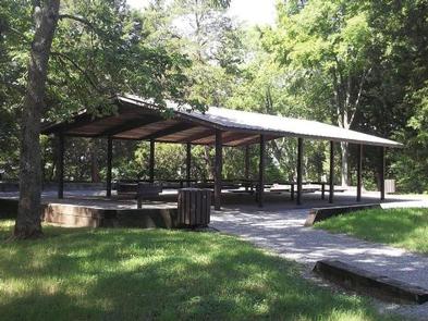
Seven Points Campground offers 59 shady and spacious campsites, along with two large group picnic shelters. The campground features drinking water, a dump station, flush toilets and hot showers, creating a comfortable camping experience. A boat ramp and swimming beach are provided, allowing guests to take advantage of the vast, sparkling lake. The group picnic shelters are located in the Day Use Area and can accommodate more than 100 guests each, making Seven Points an ideal spot for large parties and family functions.
Natural Features
J. Percy Priest Dam and Lake was one of the first Corps of Engineers lakes to have recreation as part of its justification. The dam, completed in 1968, impounds 42 miles, with 14,200 surface acres of water. In soothing contrast to the sparkling waters of the lake are the adjacent 19,087 acres of grasslands and woodlands. A highlight of the region, Couchville Cedar Glade Natural Area, is home to wildlife and rare plant species, including the Tennessee coneflower.
Nearby Attractions
J. Percy Priest Lake is conveniently located about 10 miles east of downtown Nashville, offering visitors countless cultural activities in addition to the conveniences of a metro area.