TUCKER HOLLOW PARK, AR Campground Reservation, Info, Images, Map, Directions

TUCKER HOLLOW PARK, Arkansas Campground Images, Info & Reservations

Directions

From Lead Hill, AR, travel SR 14 7 mi. NW to SR 281. Travel 3 mi. N on SR 281 and follow signs into campground. Go 7 miles northwest of Lead Hill, AR, on state highway 14, then 3 miles north on state highway 281.

Phone

870-436-5622

Activities

BOATING, CAMPING, SWIMMING SITE

Keywords

TUCK,BULL SHOALS LAKE,BULL SHOALS LAKE

Related Link(s)

Rec Area Info & Images

Arkansas State Road Conditions

Arkansas State Tourism

Overview

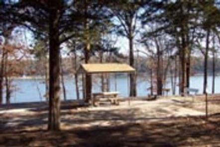
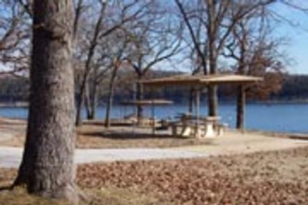
Tucker Hollow, a small 28-campsite park, sits near the upper part of Bull Shoals Lake. There’s something for everyone at the region’s most popular lake, whether it’s a day basking in the sun, jet skiing, fishing or canoeing.

Recreation

Bull Shoals Lake beckons water sports lovers, birders, naturalists and those who simply want an escape from the city. Hiking and in-season hunting are popular land activities here.

Facilities

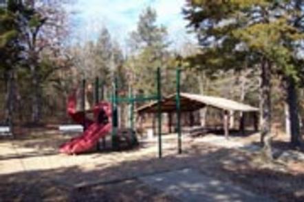
The campsites have electric hookups, and all sites offer 50 amp service. Two picnic shelters are available, but these do not have electricity. Families will enjoy the swimming beach and the playground.

Natural Features

Bull Shoals Lake is located on the northern edge of central Arkansas. Built in 1951 for flood control, the lake spans 71,000 acres and extends for 80 miles. It’s fed by the White River, which flows through the Arkansas Ozarks.

Nearby Attractions

The Bull Shoals-White River State Park has two highly recommended hiking trails to explore. The Big Bluff Trail offers views of the White River below Bull Shoals Dam, and the Lakeside Trail meanders along the shores of the lake.

Reservation

More from CampingHiking.net:

DAVIDSON RIVER, North Carolina Campground Images, Info & Reservations

Directions From Asheville, North Carolina, take I-40 West to I-26 East to Exit 40 (Airport Road/Asheville Regional Airport), onto State Highway 280. Continue south 15.5 miles on 280 to Pisgah National Forest. Turn right at the intersection of Highway 280/64/276. Go north on 276 for 1 mile. Follow signs to

CLARKS HILL, South Carolina Campground Images, Info & Reservations

Directions Located off US 221, approximately 1 mile west of Clarks Hill, SC. Phone 800-533-3478 Activities BOATING, FISHING, PICNICKING, DAY USE AREA, SWIMMING SITE, SWIMMING, WATER ACCESS Keywords CLAH,J STROM THURMOND LAKE Related Link(s) Rec Area Info & Images South Carolina State Road Conditions South Carolina State Tourism Overview Clarks

CRESCENT LAKE (MN), Minnesota Campground Images, Info & Reservations

Directions Travel Highway 61 along Lake Superior’s north shore to Tofte, Minnesota. In Tofte, turn north (away from Lake Superior) on Sawbill Trail (CCHS 2). Follow the Sawbill Trail for 16 miles to The Grade (Forest Road 170). Turn right onto the The Grade and proceed east for 7 miles.

CHISHOLM CAMPGROUND, Montana Campground Images, Info & Reservations

Directions From Main Street in Bozeman, take 19th Avenue south for 7 miles to the paved Hyalite Canyon Road. Turn left and continue south for 11 miles to the campground. The last mile of road is gravel. Phone (406)646-1012 Activities BIKING, CAMPING, FISHING, HIKING, WILDLIFE VIEWING, PHOTOGRAPHY, SWIMMING, MOUNTAIN BIKING,