
Directions
From Fresno, take Highway 180 east to Grant Grove. Continue approximately 12.25 miles on Highway 180. Turn right on Hume Lake Road and drive 4 more miles, passing Hume Lake Christian Camps. Continue 2 miles to the campground entrance on the right.
Phone
559-335-2232
Activities
CAMPING
Keywords
LOGG,GIANT SEQUOIA NAT. MONUMENT,SEQUOIA NF – FS
Related Link(s)
California State Road Conditions
Overview
Logger Flat Group Camping is situated in the Sequoia National Forest, a short drive from Hume Lake, one of the forest’s most visited destinations. Windsurfing and fishing are popular activities.
Recreation
Hume Lake is a popular recreation destination where visitors can enjoy fishing, non-motorized boating, hiking, mountain biking and off-road exploring.
A family-friendly trail loops around the lake, offering a 2.6-mile path with interpretive signs and benches along the way.
Facilities
The campground offers one group site that can accommodate up to 50 people and 30 vehicles or a combination of 20 cars and 10 RVs. Vault toilets and drinking water are provided, but no electric hookups are available.
Natural Features
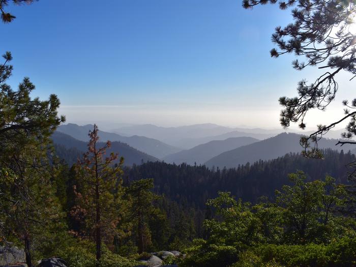
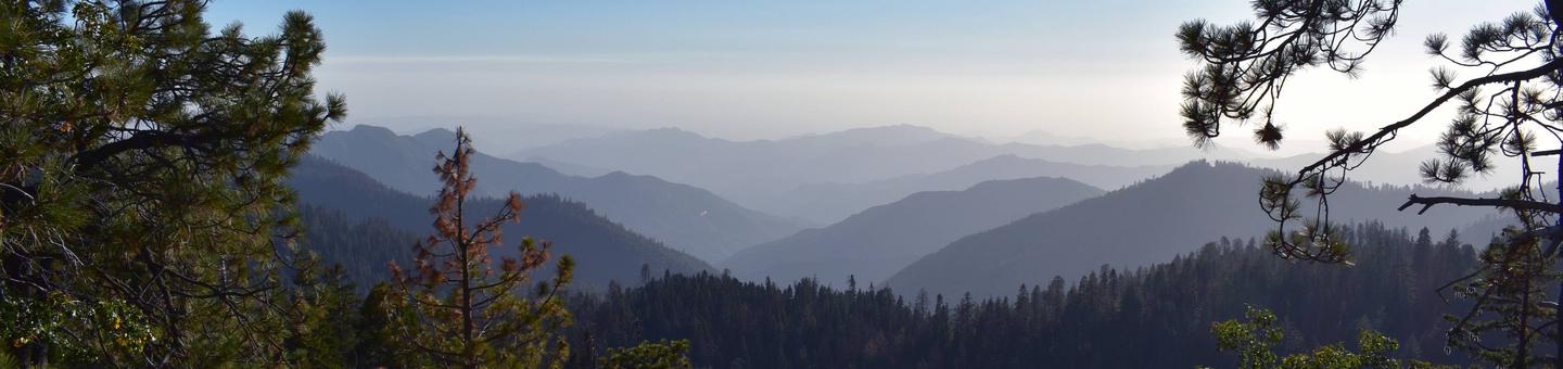
Sequoia National Forest is named for the giant sequoia, the world’s largest tree, which grows in more than 30 groves on the forest’s lower slopes. The forest comprises about 1.1 million acres. Elevations range from about 1,000 to 12,000 feet, creating precipitous canyons and mountain streams with spectacular waterfalls such as Salmon Creek Falls and Grizzly Falls.
The campground is 3 miles south of Hume Lake at an elevation of 5,600 feet. The lake was built to support a one-time commercial logging operation, and sits in the Kings River Watershed, a region of the Sierra Nevada mountains replete with vast stands of timber.
Nearby Attractions
Visitors enjoy making day trips to Sequoia & Kings Canyon National Park, Giant Sequoia National Monument.