


Directions
From Fresno, take Highway 180 east to the Park Wye. Go left and continue on Highway 180, past Grant Grove for 12.25 miles. Turn right on Hume Road and continue 3 miles to Y intersection. Take the road to the left 0.5 mile to Hume Lake Campground entrance.
Phone
559-335-2232
Activities
CAMPING, FISHING, HIKING
Keywords
HULA,GIANT SEQUOIA NAT. MONUMENT,SEQUOIA NF – FS
Related Link(s)
California State Road Conditions
Overview
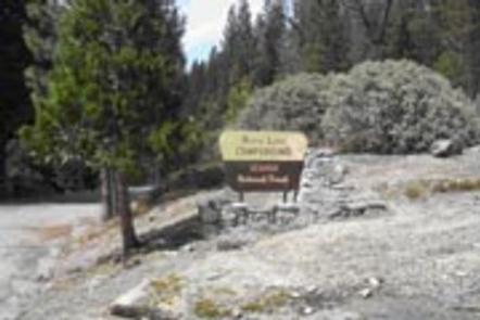
Hume Lake Campground is a popular facility along Hume Lake, one of Sequoia National Forest’s most visited destinations. The area offers year-round recreational opportunities, including fishing, canoeing, hiking, biking, snowmobiling, snowshoeing and cross-country skiing.
Recreation
Hume Lake is a year-round recreation destination. During warmer months, visitors can enjoy fishing, non-motorized boating, hiking and mountain biking.
During the winter, the area is popular for snowshoeing, cross country skiing and snowmobiling.
Facilities
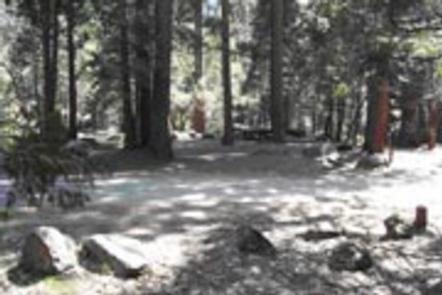
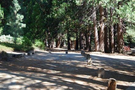
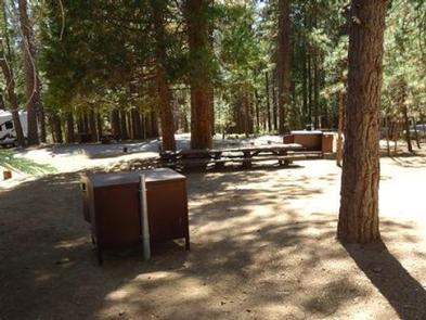
The campground offers single and double-family campsites, some of which have views of Hume Lake. Foot trails lead to the lakeshore. Picnic tables and campfire rings are provided, as are flush toilets and drinking water.
Natural Features
The campground is situated among towering Sequoia and Jeffrey pines on the northern end of Hume Lake, which was built to support a long-ago commercial logging operation. It once supplied water to the longest lumber flume transporting logs to the Central Valley. The elevation is 5,250 feet.
Sequoia National Forest, located at the southern end of the Sierra Nevada in central California, is named for the giant sequoia, the world’s largest tree, which grows in more than 30 groves on the forest’s lower slopes.
The forest comprises about 1.1 million acres. Elevations range from about 1,000 to 12,000 feet, creating precipitous canyons and mountain streams with spectacular waterfalls such as Salmon Creek Falls and Grizzly Falls.
Nearby Attractions
Bearskin Grove offers the rare opportunity to photograph an entire mature sequoia in one frame. Hiking through the grove, visitors will find a mix of young and old sequoias, including about 50 trees that measure over 6 feet in diameter. Take Tenmile Road (Forest Road 13S09) to Forest Road 13S02, then 13S98 to enter the grove.
Visitors enjoy making day trips to Sequoia & Kings Canyon National Parks and Giant Sequoia National Monument.