

Directions
From Sisters, Oregon, take Highway 20/126 NW for 12 miles. Turn left onto Forest Service Road 2070. Travel just less than a mile and turn left again onto Forest Service Road 2066 and continue to the campground entrance on the right.
Phone
541-323-1746
Activities
CAMPING, FISHING
Keywords
SCOU,DESCHUTES NF – FS
Related Link(s)
Overview
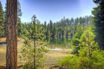
Scout Lake Group Campground sits near the shores of its namesake in Deschutes National Forest. Its proximity to high alpine lakes, lush forests and towering peaks in nearby wilderness areas make it a popular destination for outdoor enthusiasts.
Recreation
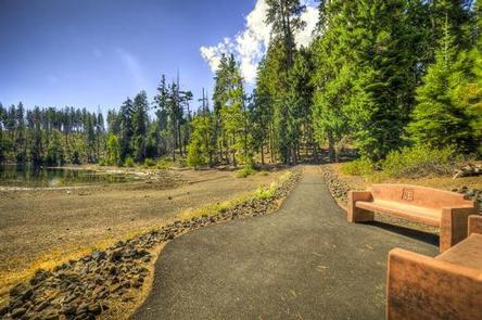
Water sport enthusiasts of all types will enjoy the opportunities available at Scout Creek Lake and nearby Suttle Lake. Only non-motorized watercraft are allowed on Scout Creek, but water skiing, fishing and boating are popular at Suttle Lake, less than one mile away.
Nearby trails and a picturesque shoreline offer visitors opportunities for hiking, birding, wading and swimming at Scout Lake, and a large beach is located just steps away.
Facilities
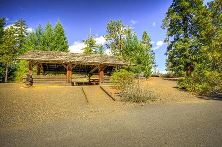
There are 10 sites at this campground. Site #6 is a single family site while 3, 4A, 4B, 5, 7 and 8 are doubles. Sites 1, 2 and 9 are triples. If the entire campground is rented together, it will comfortably accommodate up to 100 guests. A large day-use area with 11 picnic tables and parking for 50 vehicles makes this area perfect for large parties and family functions.
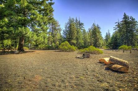
All sites are equipped with tables and campfire rings with grills.
There are three vault toilets and a gravity fed water system.
Natural Features
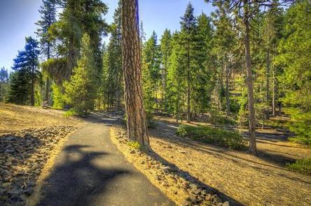
The campground sits at 3,600 feet in the high desert region of central Oregon in a towering mixed conifer forest. Nearby landscapes showcase the unique volcanic activity throughout the region, and visitors can explore extinct volcanoes, calderas and lava flows typical in the area.
The surrounding undeveloped wilderness, clean streams and diverse forests support an abundance of wildlife, including deer, squirrel, trout, salmon and a variety of migratory birds.
Nearby Attractions
Visitors can explore wilderness areas, rivers, lakes, reservoirs and approximately 1,600 miles of trails that comprise nearly 2.5 million acres the Deschutes National Forest and the adjacent Ochoco National Forest.
Lava Lands Visitor Center in nearby Bend, Oregon, and the Newberry National Volcanic Monument are popular attractions as well.
Visitors will also enjoy traveling the Cascade Lakes Scenic Byway, known as Oregon’s Highway in the Sky, which climbs into the clouds on a 66-mile drive through the Cascade Mountain range, weaving through snow-capped peaks and alpine lakes.