Directions
From Vancouver, WA, proceed east on SR 14, to mile post 56-1/2 to Cook-Underwood Road. Exit left onto Cook-Underwood Road and continue for 5 miles through Mill A to Willard Road. Bear left onto Willard Road into Willard and continue North on Oklahoma Road for 8 miles (to end of asphalt road), to the entrance of Oklahoma Campground.
From the East, go 1.7 miles from the Hood River Bridge, crossing the White Salmon River and turn right onto Cook-Underwood Road. Continue for 8 miles to mile post 6, and turn right onto Willard Road. Travel to the stop sign and turn right onto Oklahoma Road and proceed 8 miles North to the campground.
Phone
541-338-7869
Activities
BIKING, CAMPING, FISHING, HIKING
Keywords
OKLA,GIFFORD PINCHOT NF – FS
Related Link(s)
Washington State Road Conditions
Overview
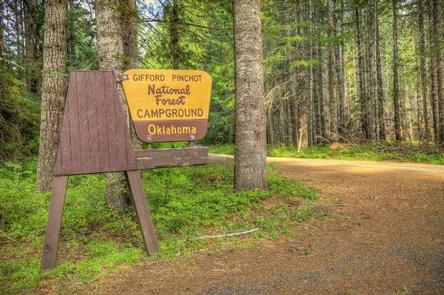
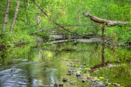
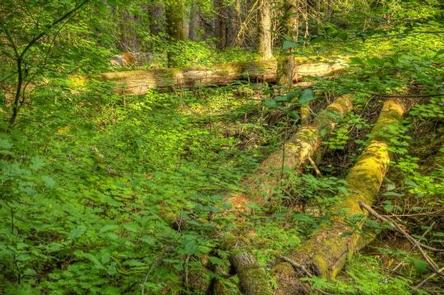
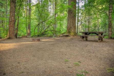
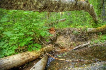
Oklahoma Campground is nestled in a lush grove of large hemlock, cedar, maple and fir trees alongside the Little White Salmon River, near the Columbia River Gorge. The campground is flat and is ideal for smaller groups to camp in clusters.
Recreation
Big Lava Bed is located just west of the campground. The trail takes hikers through a landscape marked by basalt lava formations and pine forest.
The multi-use Monte Carlo Trail is also nearby and can be enjoyed by hikers, mountain bikers and horseback riders.
Fishing and wading is permitted in the Little White Salmon River, where anglers can find brook and rainbow trout.
Facilities
This campground offers some tent-only sites as well as sites for RVs up to 40 feet. Site 12/13 is a double site and must be reserved as such and can accommodate up to 16 people. Parking spurs are unpaved and may be lumpy.
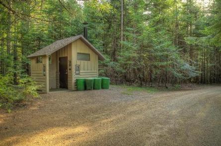
The campground offers amenities such as picnic tables, fire rings and potable water. Vault toilets are also available.
Natural Features
Located in southwest Washington State, the Gifford Pinchot National Forest encompasses 1.3 million acres and includes the 110,000-acre Mount St. Helens National Volcanic Monument established by Congress in 1982.
Oklahoma Campground is located in the Mt. Adams Ranger District. Elevations here range between 1,200 feet at the Wind River Work Center, 12 miles north of Carson, WA and 12,276 feet at the summit of Mt. Adams.
The Mount Adams Ranger District features largely diverse habitats and natural features, from old growth to second growth forest, wetland areas, low and high elevation meadows, glaciers, and low and high elevation lakes.
Nearby Attractions
Oklahoma Campground’s proximity to the Columbia River Gorge and Mount Adams, makes it an ideal base for exploring those areas.

