
Directions
From Reno, travel north on Highway 395 to Highway 70 and turn west to Portola. From Portola, take County road 126 north for seven miles, then County road 112 to the east side of Lake Davis. It is approximately one mile to the campground.
Phone
530-836-2575
Activities
BIKING, BOATING, CAMPING, FISHING, HIKING, SWIMMING SITE, PHOTOGRAPHY, BIRDING, SAILING, SAILBOARDING
Keywords
GRAS,GRASSHOPPER,LAKE DAVIS,DAVIS,PORTOLA,PLUMAS NF – FS
Related Link(s)
California State Road Conditions
Overview
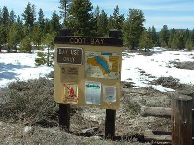
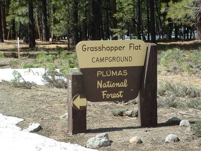
Grasshopper Flat Campground (7,777 feet) is one of three family campgrounds located in the Lake Davis Recreation Area. Campground loops around in the hills overlooking the lake providing most campsites with sweeping views of the lake’s crystal blue water. Pine forest gives most campsites plenty of afternoon shade. A boat ramp and RV dump station are nearby. A trailhead for 7 mile long Lake Davis Trail is less than half a mile away.
Recreation
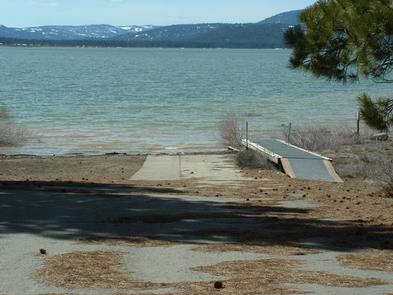
In addition to camping, the area offers a wide variety of popular water-related activities, including fishing, boating and swimming. Numerous fishing access points are located around the perimeter of the lake. Free trout fishing days are hosted by state agencies in June and September.
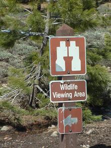
Mountain biking, hunting and wildlife viewing are also available in the area. During winter months visitors enjoy ice fishing, snowmobiling and cross-country skiing.
Facilities
There are multiple single-family tent and RV campsites, as well as one large group site. All campsites are equipped with picnic table, campfire rings and grill. Each site can accommodate up to two vehicles on a paved pad. The campground has paved roads. In peak season there is a campground host, drinking water, coin operated showers, flush toilets and trash service.
Natural Features
The 4,000-acre Lake Davis was created in 1967 for recreational opportunities, as well as to rejuvenate fish populations in nearby rivers and supply water to the town of Portola. The lake offers 32 miles of shoreline and is surrounded by tall pine trees. A variety of wildlife make its home near the campground. Tall mountain peaks offer backdrop to lake views.
Nearby Attractions
The closest town is Portola, California, which is home to one of the largest railroad museums in the western United States. A state game refuge borders the lake to the east and the south.