

Directions
From Estacada, Oregon, travel east on Highway 224 for about 25 miles. Keep left at the Y for NF-57 / Oak Grove Fork Rd for 5.4 miles. Follow signs and take a sharp left onto NF-4630 for 1.5 miles.
Phone
503-464-8515
Activities
CAMPING, FISHING, PICNICKING, DAY USE AREA, PHOTOGRAPHY
Keywords
HAR1,MT. HOOD NF – FS
Related Link(s)
Overview
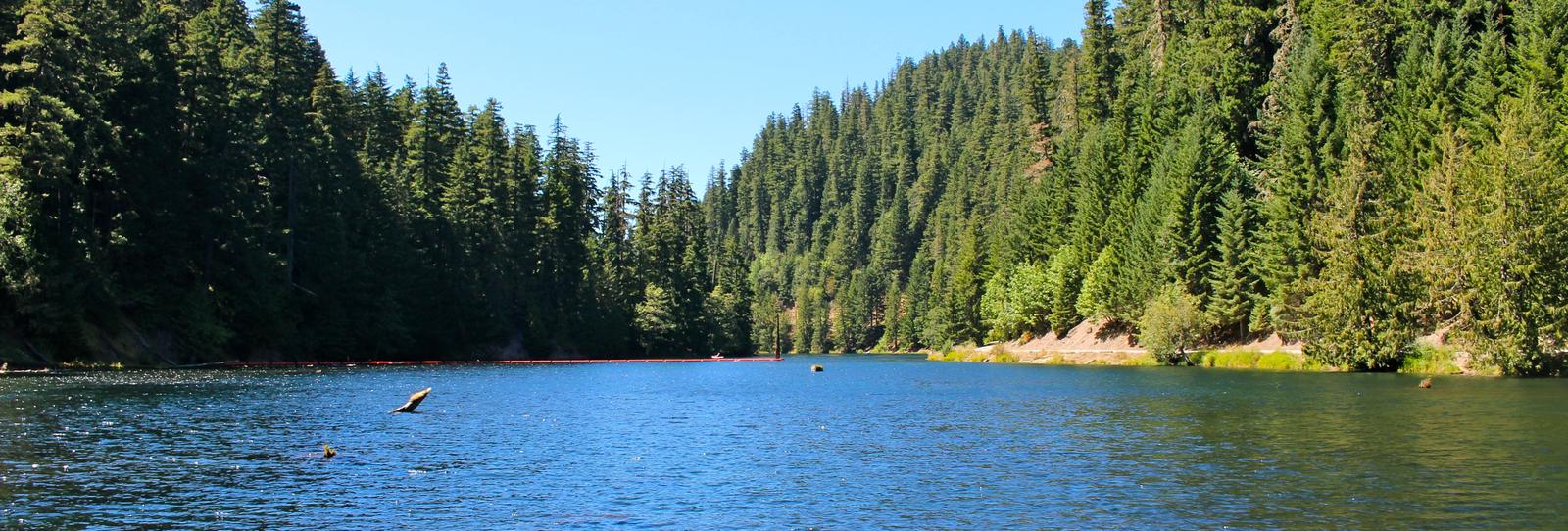
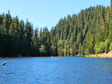
Lake Harriet Campground sits on the eastern shores of crystal clear Lake Harriet. It is located between the Oak Grove Fork of the Clackamas River, which flows into the lake, and the nearby forest highway. It is a great location for camping, fishing and boating.
Recreation
Boating, canoeing and fishing on Lake Harriet are popular activities. There is a speed limit of 10 mph. The lake is stocked with rainbow trout each year, resulting in easy fly fishing. Anglers can also expect to catch cutthroat and brown trout, which spawn in the nearby river. The campground offers a boat ramp and fishing dock for easy lake access. The nearby Oak Grove Fork of Clackamas River is also popular for fishing. Steelhead, chinook and kokanee salmon can often be caught there. Further down the river, the Clackamas provides class III-IV whitewater rafting. The river provides a perfect habitat for the bald eagle and northern spotted owl, as well as an occasional peregrine falcon. Visitors can also enjoy hiking in the Bull of the Woods Wilderness area, just south of the campground. Several primitive forest roads nearby are useful for mountain biking and the Cascades Scenic Byway, which follows the Clackamas River, runs near the campground.
Facilities
The campground offers eight single-family campsites for tent and RV camping. Each site is equipped with tables and campfire rings with grills. Accessible vault toilets and drinking water are provided. A host is available on-site and firewood is available for purchase at the campground.
Natural Features
The campground is surrounded by a sparse forest of alder trees that provide limited shade to the area. It is situated at an elevation of about 2,000 feet in the Mt. Hood National Forest. The 22-acre lake and surrounding wilderness rest in a narrow, heavily forested canyon of Oregon’s Cascade Mountain Range.
Nearby Attractions
The Ripplebrook Ranger Station is located just over 6 miles west of the campground. A variety of services can be found there, including a general store and visitor center.
Charges & Cancellations
A service fee will apply if you change or cancel your reservation. Late cancellations are subject to additional fees. For full details see Recreation.Gov, Rules & Reservation Policies.