COY FLAT, CA Campground Reservation, Info, Images, Map, Directions

COY FLAT, California Campground Images, Info & Reservations

Directions

From Highway 99 go east on 190 to Springville, California. On 190 travel 15 miles to Nelson Drive. From Nelson Drive exit on Coy Flat and drive 1.5 miles to campground.

Phone

559-539-5230

Activities

CAMPING, FISHING, HIKING

Keywords

COYF,GIANT SEQUOIA NATIONAL MONUMEN,SEQUOIA NF – FS

Related Link(s)

Rec Area Info & Images

Forest Service Concessionaire

California State Road Conditions

California State Tourism

Overview

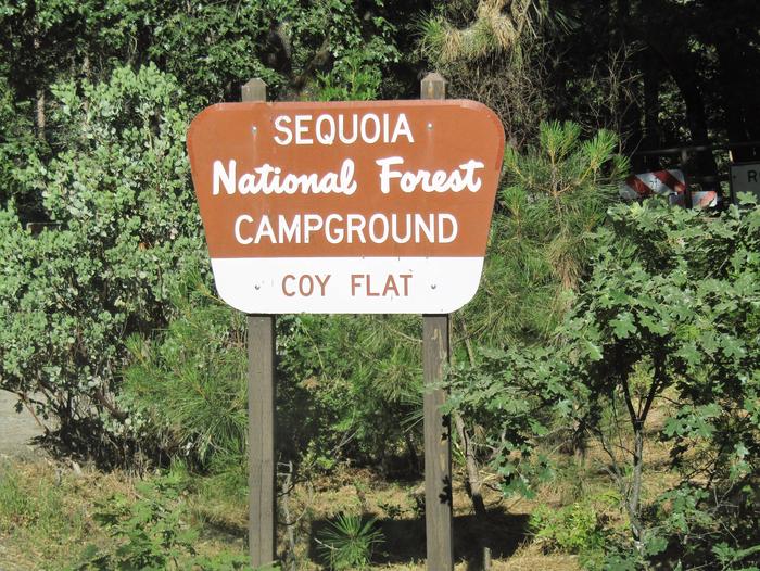
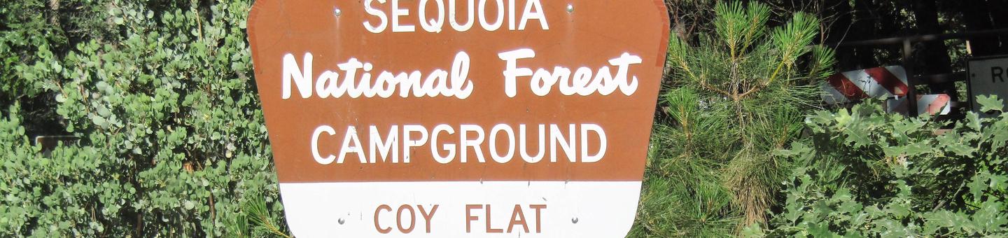
Coy Flat is a small, charming group campsite located within the Giant Sequoia National Monument at an elevation of 5,000 feet, near the 4,666-acre Belknap Grove.

Recreation

In addition to hiking the Monument’s giant sequoia groves, visitors can explore the nearby Bear Creek Trail, which ascends to 9,000 feet through a diverse terrain. There is also excellent trout fishing available in several creeks dotted throughout the area.

Facilities

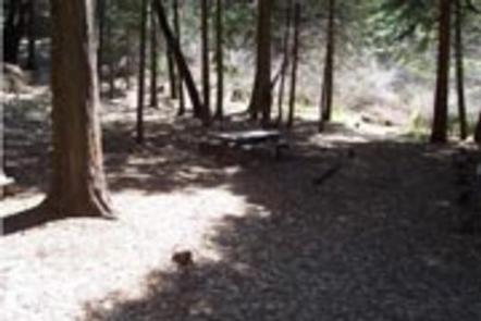
Coy Flat offers 19 single sites and and double site, which can accommodate up to 12 people.

Natural Features

The Sequoia National Forest, located at the southern end of the Sierra Nevada in central California, takes its name from the giant sequoia, the world’s largest tree, which grows in more than 30 groves on the Forest’s lower slopes.

The Forest comprises about 1.1 million acres, and elevations range from about 1,000 to 12,000 feet, creating precipitous canyons and mountain streams with spectacular waterfalls such as Salmon Creek Falls and Grizzly Falls.

Nearby Attractions

There is a convenience store a mile away in the small community of Camp Nelson. Pierpoint Springs Resort is located just 2 miles away.

Reservation

More from CampingHiking.net:

SPRING CANYON GROUP SITE, Washington Campground Images, Info & Reservations

Directions Take Highway 2 west of Spokane for 65 miles to the town of Wilbur, Washington. Turn north on Highway 174 (follow road signs). Travel 19 miles and turn right at the sign for Spring Canyon Campground. Phone 509-754-7889 Activities BIKING, BOATING, HISTORIC & CULTURAL SITE, CAMPING, INTERPRETIVE PROGRAMS, FISHING,

GRAYBACK, Idaho Campground Images, Info & Reservations

Directions From Boise, take State Highway 21 north for 36 miles. Campground access road is located on the east side of the road, between mileposts 36 and 37. Turn right and travel a quarter-mile to the campground. Phone 208-392-6681 Activities CAMPING, FISHING, HIKING, HUNTING, VISITOR CENTER, WILDLIFE VIEWING Keywords GRA1,GRAYBACK

SUNLIGHT BAY, Arkansas Campground Images, Info & Reservations

Directions From Plainview, Arkansas, take Highway 28 west for a quarter mile, then follow signs to the campground. Phone 479-272-4234 Activities BOATING, CAMPING, FISHING Keywords SUNL,NIMROD LAKE,NIMROD LAKE Related Link(s) Rec Area Info & Images Arkansas State Tourism Arkansas State Road Conditions Overview Sunlight Bay Campground sits along the shores

EAST FORK (WV), West Virginia Campground Images, Info & Reservations

Directions From I-64 in Huntington, WV take Exit 8, south on HWY 152 to Wayne, WV. Travel east on Route 37 for 19 miles and follow signs into the campground. Phone 304-849-5000 / 304-849-2355 Activities BIKING, BOATING, CAMPING, INTERPRETIVE PROGRAMS, FISHING, HIKING, HUNTING, SWIMMING, KAYAKING, CANOEING, WATER ACCESS, AMPHITHEATER Keywords

PAULSON BAY CABIN, Alaska Campground Images, Info & Reservations

Directions To access the cabin by float plane: it is 40 minutes from Anchorage and 60 minutes from Cordova. By boat, the trip is 18 miles from Whittier. Note: the Bay is not obvious because the mouth is partially obscured by five small islands. Beware of submerged rock ledges between