

Directions
From U.S. Highway 52 at Ironton, take State Route 93 north for 9 miles to the Lake Vesuvius Road (County Road 29). Turn east toward Lake Vesuvius and travel 1 mile to the recreation area.
Phone
740-534-6500
Activities
BOATING, CAMPING, FISHING, HIKING, WILDLIFE VIEWING, SWIMMING SITE
Keywords
OAHI,VESUVIUS,LAKE VESUVIUS,LAKE VESUVIUS OAK HILL,OAK HILL LAKE VESUVIUS,WAYNE NF – FS
Related Link(s)
Overview
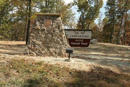
Oak Hill Campground is one of two camping areas within Lake Vesuvius Recreation Area. It has recently renovated and upgraded with modern conveniences like electric hookups and flush toilets. Lake Vesuvius is very close, providing access to ample recreational opportunities.
Recreation
Boating, fishing and swimming on Lake Vesuvius are the most popular activities. Anglers may catch bass, catfish, crappie and bluegill.
More than 40 miles of trails exist in the area, with trailheads beginning at or near the campground. A spur within the campground connects to the Rock House Trail, which leads to a cave Native Americans used as a hide-out many years ago.
Facilities
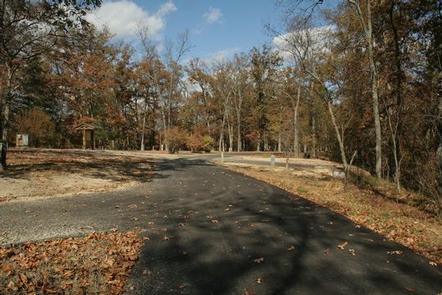
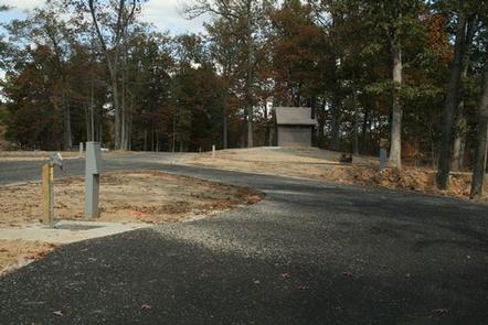
The campground offers dozens of accessible single-family sites for tent and RV camping. Each campsite can accommodate up to eight individuals. A group site can accommodate up to 50 people. Some sites are available on a first-come, first-served basis.
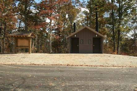
Picnic tables, lantern posts, and campfire rings with grills are provided, as well as electric hookups, accessible flush and vault toilets, showers and drinking water. A dump station is located on-site.
Natural Features
The campground is situated on the west side of the 143-acre lake. A mixed hardwood-pine forest with many mature oak trees covers the area.
Nearby Attractions
The closest town is Ironton, Ohio, less than 10 miles from the campground.