


Directions
The cabin is approximately 24 air miles northeast of Ketchikan on Revillagigedo Island on the north end of Ella Lake. Access is by floatplane or boat. Refer to USGS Ketchikan C-4 and B-4. In fall, winter and early spring, the cabin may be inaccessible due to frozen lake surface (floatplanes cannot land). Please contact the Ketchikan Misty Fjords Ranger District for information prior to making reservations during these periods.
Phone
907-225-2148
Activities
BOATING, CAMPING, FISHING, HUNTING, WILDLIFE VIEWING
Keywords
ELLS,TONGASS NF – FS
Related Link(s)
Overview
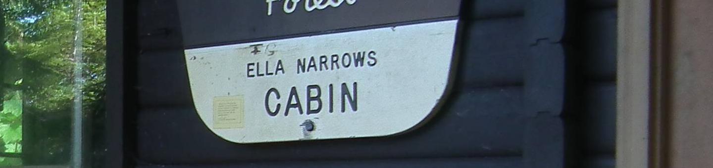
Ella Narrows Cabin is located on the shore of Ella Lake on eastern Revillagigedo Island. This location is great for families, providing a lot of space for kids to run around. The cabin is open year-round for recreation and relaxation within the Misty Fiords National Monument Wilderness.
The site can be accessed by floatplane or boat, depending on conditions. Guests are responsible for their own travel arrangements and safety, and must bring several of their own amenities.
Recreation
A 14-foot aluminum skiff with oars is provided, but guests must bring their own life vests. The lake offers excellent fishing for cutthroat trout, Dolly Varden and kokanee salmon.
Hunting is possible for Sitka black-tailed deer and black bear in designated seasons.
Facilities
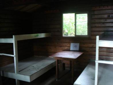
This 12×14-ft. pan-abode style cabin sleeps six and comes equipped with two single bunks, two double bunks, a table and benches, wood stove, splitting maul, broom, campfire ring and an outhouse. NOTE: Firewood may be available, but visitors are encouraged to contact the Ketchikan Misty Fjords Ranger District to check the status of the woodshed. Water and electricity are not provided. Water is available from the lake or a nearby creek, but guests should be sure to treat water before drinking or cooking with it. It is recommended that guests bring their own water supply. Visitors should also bring sleeping bags, sleeping pads, cooking gear, lanterns or flashlights, food, toilet paper, garbage bags, a fire extinguisher and fire starter. Rain gear and boots are recommended. Visitors are expected to pack out trash, gear and food and clean the cabin before leaving. Click here for more cabin details.
Natural Features
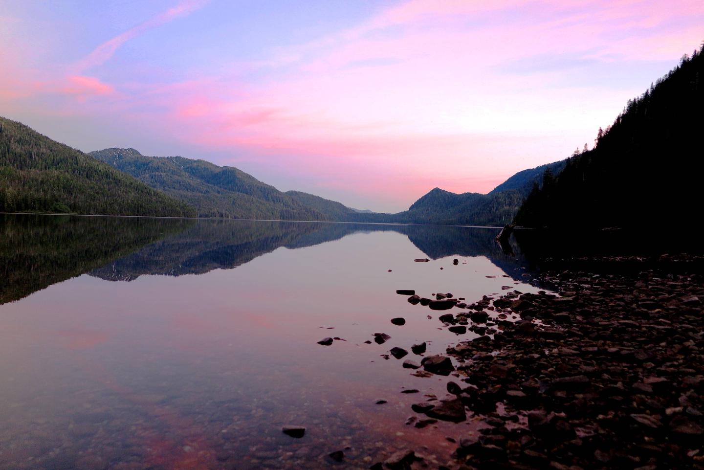
The cabin is tucked back from the lake in a stand of large old-growth spruce, hemlock and cedar, offering limited views of the lake and surrounding mountains. A stream bubbles nearby. A long stretch of cobble beach and a large white sand beach are located in front of the cabin.
This area is home to black bears, Sitka black-tailed deer, beaver, marten and mink. A variety of bird species can be spotted around the lake.