
Directions
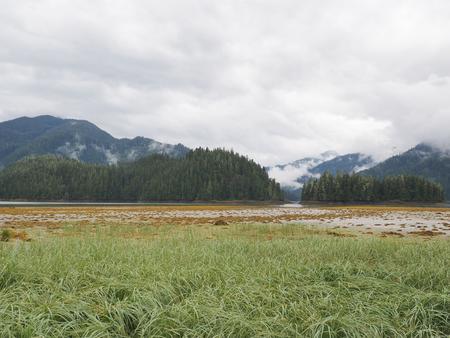
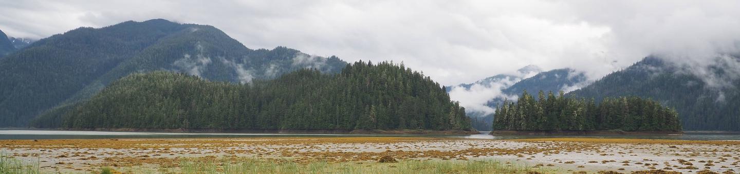
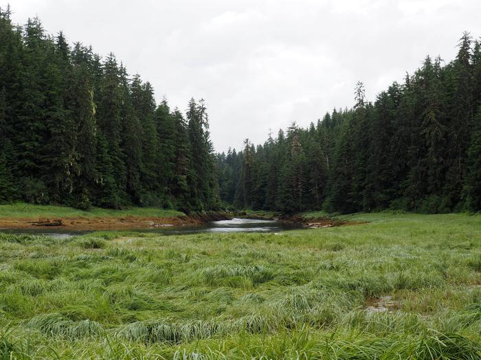
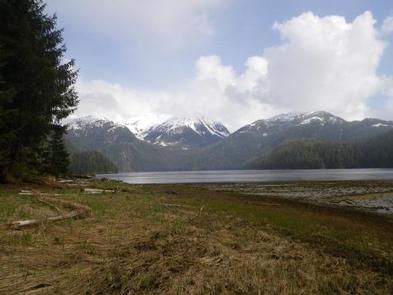
Located southeast of Wrangell on the mainland at the mouth of the Harding River, which is on the north side of the Bradfield Canal. Distance is 31 miles by air, 40 miles by boat from Wrangell. The beach near the cabin slopes gradually and does not provide for easy boat anchorage. Anchoring the boat in deeper water is recommended, and using a skiff or punt between the boat and shore.
Phone
907-874-2323
Activities
BOATING, CAMPING, FISHING, HUNTING, WILDLIFE VIEWING
Keywords
HARI,TONGASS NF – FS
Related Link(s)
Overview
Harding River Cabin is located in the Bradfield Canal near excellent fishing and crabbing spots. It is also in a prime spot for viewing birds and wildlife. The site can be accessed by float plane or boat, depending on conditions. Boats and planes should anchor in deeper water, and guests should take small skiffs or punts to the cabin. Guests are responsible for their own travel arrangements and safety, and must bring several of their own amenities.
Recreation
Anglers can fish in the Harding River for cutthroat trout and Dolly Varden from May through September, steelhead in April and May, and silver and chum salmon in August and September. Bradfield Canal offers excellent crabbing, but tide charts should be consulted before planning any boating or crabbing excursions.
Facilities
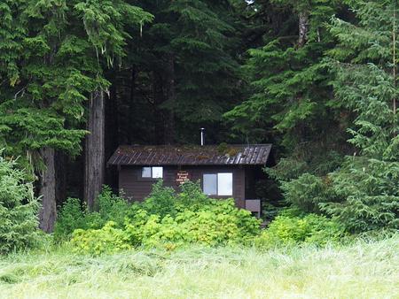
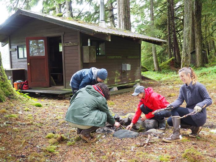
This 14-by-16 cabin ( hunter-style ) was built in 1978 and has two single bunks and two double bunks to sleep up to six people. It is also equipped with a table and benches, broom, an oil stove for heat (No. 1 oil only) and an outhouse toilet. A food storage locker is located on the partially covered front porch. Water and electricity are not provided. Water is available from the Harding River, but guests should be sure to treat or boil any water taken from an outside source, prior to consumption ( water safety tips ). It is recommended that guests bring their own water supply. Heating oil is not supplied by the Forest Service. In addition to bringing a supply of No. 1 stove oil, guests should pack sleeping bags, sleeping pads, a cooking stove, lanterns or flashlights, cookware, plates, utensils, food, toilet paper, garbage bags, a fire extinguisher and matches, among other necessities. Guests are expected to pack out trash and clean the cabin before leaving ( click here for more cabin details).
Natural Features
The cabin sits on relatively flat land overlooking the Harding River and Bradfield Canal. The surrounding rainforest is primarily Sitka spruce and western hemlock with scattered cedar. Muskeg is also common in the area. Brown and black bears, harbor seals and bald eagles are often spotted around the cabin ( bear safety information ). A lucky few may spot gray whales swimming in the nearby waters. The upper end of Bradfield Canal is a spring and fall stop for migratory waterfowl.