
Directions
From Harrison, head south on Highway 7 for approximately 13 miles. After driving over a bridge over the Buffalo River, look for a brown sign for the Ozark Campground. Turn right onto the gravel road and follow it for about one mile to the campground and pavilion.
Phone
870-861-2570 (STEEL CREEK RANGER STATION)
Activities
CAMPING, FISHING, HIKING, PHOTOGRAPHY, PADDLING, SWIMMING, WATER ACTIVITIES, CANOEING
Keywords
OZPC,Ozark,Ozark Pavilion
Related Link(s)
Arkansas State Road Conditions
Overview
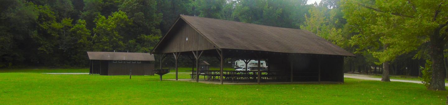
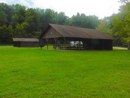
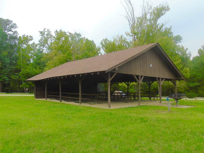
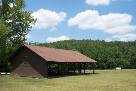
The Ozark Pavilion sits in the middle of the Ozark Campground near the impressive bluffs of the Buffalo River. Bring a picnic lunch or pack up your grill for a day of fresh air and outdoor activities.
The big river isn’t just a picturesque backdrop for your picnic – it also offers an array of river sports like canoeing, kayaking, tubing, swimming and fishing.
Recreation
The Buffalo River Trailhead is next to the pavilion. The scenic trail spans a massive 36.5 miles of the Buffalo River from Boxely to Pruitt, and is ideal for hiking or backpacking.
Peak season for canoeing, kayaking and tubing is spring to early summer.
Facilities
The covered picnic area seats up to 100 people. Electricity is available but it’s recommended you bring your own grill. Flush toilets and drinking water are provided.
Natural Features
The pavilion is located along the Buffalo National River with views of lush forests and high, riverside limestone bluffs. It is one of the few free-flowing rivers remaining in the contiguous U.S., with 135 miles of undammed waters. It cuts through the Arkansas Ozarks to reach its final destination at the White River.
Nearby Attractions
The nearby town of Jasper offers restaurants, gas stations and groceries. The Hilary Jones Wildlife Museum and Elk Center is just north of Jasper. It features displays of elk, white-tailed deer and ducks, as well as freshwater aquariums, wildlife paintings and a gift shop.