
Directions
From Garden City, Utah, take Highway 89 north to St. Charles, Idaho. Drive west from St. Charles along Forest Road 412 for 8.1 miles, then turn right and follow the dirt road a short distance to the campground.
Phone
541-351-1182
Activities
BIKING, BOATING, CAMPING, FISHING, HIKING, HUNTING
Keywords
None
Related Link(s)
Overview
North Fork Campground is located in scenic St. Charles Canyon in southern Idaho, near Bear Lake. Visitors enjoy hiking, biking, horseback riding and motorcycling on local trails, and fishing in St. Charles Creek.
Recreation
North Fork Trail, which has a trailhead within the campground, is open to motorcycles, horses, hikers and mountain bikers and connects with the Highline Trail, a 55-mile path along the backbone of the surrounding Wasatch Mountains.
The Idaho Department of Fish and Game manages the river fisheries, providing excellent fishing most of the year, including in St. Charles Creek. In-season big game hunting is also a popular activity.
Facilities
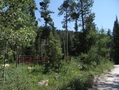
The campground offers an accessible group site that can accommodate a maximum of 50 guests. The group site is made up of five smaller sites.
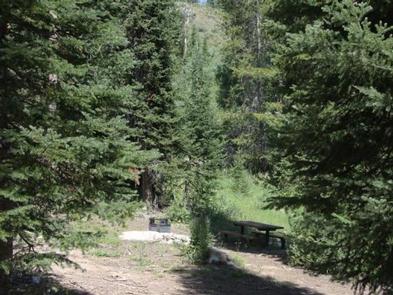
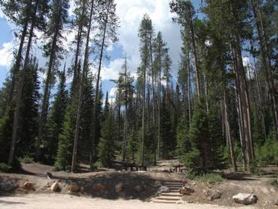
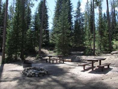
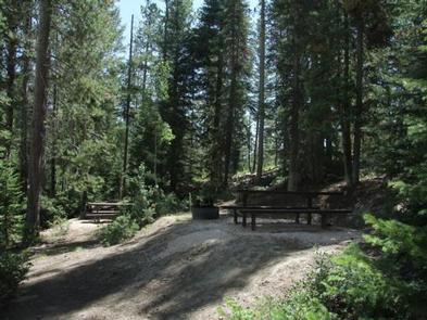
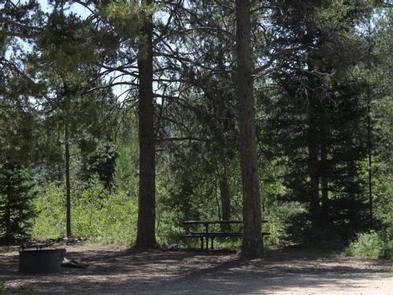
Picnic tables and campfire rings are provided, as are vault toilets. Roads and parking spurs are gravel.
Natural Features
A dense, mixed growth conifer forest covers the campground. St. Charles Creek flows gently through the site.
Nearby Attractions
Minnetonka Cave is a short distance from the campground. Scenic Canyons offers guided, 90-minute tours through the nine-room cave with formations called the Bride and Groom, Three Sisters and Devil’s Kingdom. The cave temperature is 40 degrees and the path through it includes 444 steps. Tickets must be purchased at the cave entrance.
Bear Lake’s North Beach is 12 miles from the campground, offering swimming and fishing opportunities on one of the Inter-mountain West’s largest natural lakes.
Bear Lake State Park Marina is 20 miles from the campground, with a seven-lane boat ramp, boat rentals, slips, a snack bar and general store.