
Directions
Note: GPS devices and mapping programs do NOT provide accurate directions to Doughton Park Campground. GPS devices and mapping programs may take campers onto steep grades and gravel or dirt country roads not suitable for RV or trailer travel. From Charlotte: Take I-77 North. Merge onto US-21-BYP N via EXIT 83 on the left toward Roaring Gap/Sparta. Go 2.9 miles. Merge onto US-21. Go 18.1 miles. Turn left to take the Parkway South ramp. Turn south onto Blue Ridge Parkway. Go 10 miles to Doughton Park Campground. From Raleigh: Take I-40 West. Merge onto US-421 North via EXIT 188 toward Yadkinville/Wilkesboro. Go 28.3 miles. Merge onto I-77 N via EXIT 265A toward Elkin. Go 10.1 miles. Merge onto US-21-BYP N via EXIT 83 on the left toward Roaring Gap/Sparta. Go 2.9 miles. Merge onto US-21. Go 18.1 miles. Turn left to take the Parkway South ramp. Turn south onto Blue Ridge Parkway. Go 10 miles to Doughton Park Campground.
Phone
336-372-8877 (MAY – OCTOBER)
Activities
HISTORIC & CULTURAL SITE, CAMPING, FISHING, HIKING, PICNICKING, VISITOR CENTER, WILDLIFE VIEWING, DAY USE AREA, PHOTOGRAPHY, STAR GAZING, BIRDING, BACKPACKING
Keywords
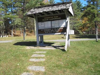
Bluffs Campground
Related Link(s)
North Carolina State Road Conditions
Overview
Nestled in a landscape of mountains, open meadows and pioneer cabins, Doughton Park Campground is surrounded by 30 miles (48 km) of hiking trails offering opportunities to view wildlife as well as get a feel for the lives of those who lived here long ago. Originally known as The Bluffs, the area came by its present name in honor of Congressman Robert L. Doughton, a long-time advocate and supporter of the Parkway.
Recreation
Trails in the Doughton Park area include the Cedar Ridge Trail, a strenuous 4.2 mile hike, and the Bluff Mountain Trail, a moderate 7.5 mile hike; both accessible from the Brinegar Cabin parking overlook (milepost 238.5). The short Fodder Stack Loop Trail (milepost 240.6) showcases the varied plant life of the area, while the Bluff Ridge Trail, Grassy Gap Fire Road (horse trail), and Flat Rock Ridge Trail are all moderate to strenuous trails that provide the hiker with beautiful views and abundant wildlife.
The Brinegar Cabin dates from about 1885 and was the home of Martin Brinegar and his family. Brinegar was a cobbler as well as a farmer. His home is open on summer weekend days. Hand-loom weaving and other craft demonstrations are often given during the summer months. The one-room Caudill Cabin exhibit can be viewed from the scenic Wildcat Rocks (milepost 240.6).
Historic Cemetary: near milepost marker 245.5. The cemetary contains some three dozen graves dating from the 1880’s to more recent times.
The Basin Cove Creek complex (mileposts 238 – 244) (located off the Parkway on Longbottom Road) has Rainbow and Brook Trout where the streams are stocked. Anyone with a valid Virginia or North Carolina fishing license is welcome, but please check with the visitor center for any special regulations.
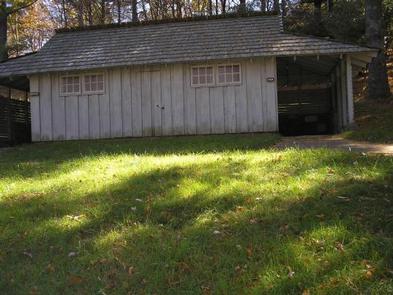
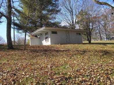
Facilities
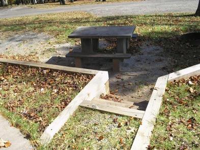
Doughton Park has a picnic area (at milepost 241), a campground (milepost 239), comfort stations, drinking water and access to 30 miles (48 km) of trail over bluegrass bluffs.
Doughton Park Campground usually has campsites available. In addition to the 24 sites available for advanced reservation, 97 campsites are available on a first-come, first-served basis. Campsites are shaded under an umbrella of thick trees, and provide campers with tables, campfire rings and grills. The site also offers camper conveniences like flush toilets, drinking water and a dump station.
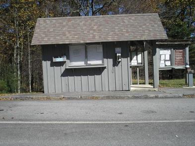
Primitive Backcountry Camping is available at Basin Cove. Obtain a free permit from the Doughton Park campground office (May-October) or the Bluffs District Office 828-348-3487.
Natural Features
Rolling ridgetop meadows and steep mountainsides characterize the 7,000-acre Doughton Park. It is one of the best places along the motor road to view white-tailed deer, raccoons, red and gray foxes, and bobcats. Visitors can enjoy spectacular shows of flame azalea and rhododendron in the late spring.
The Blue Ridge Parkway is a scenic byway that follows the high crests of the central and southern Appalachians for 469 miles from Shenandoah National Park in Virginia, to the Great Smoky Mountains National Park in North Carolina.
Nearby Attractions
Mount Airy, NC: Andy Griffith’s hometown, the ideal American town that was the inspiration for Mayberry–Hwy 52 South; 12 miles south of Fancy Gap, VA. (www.visitmayberry.com)
Churches of the Frescoes: MP 259 – The Last Supper, Mary Great with Child, Mystery of Faith, and 7 others. Episcopal Church is always open. (www.churchofthefrescoes.com)
Northwest Trading Post: Located south of Doughton Park at milepost 258 near Glendale Springs, this craft store sells handicrafts representative of the Appalachian Mountain culture. (www.CoolSparta.com)