TWIN LAKE CAMPGROUND, UT Campground Reservation, Info, Images, Map, Directions

TWIN LAKE CAMPGROUND, Utah Campground Images, Info & Reservations

Directions

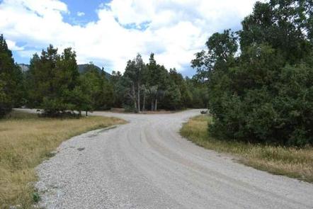
Travel east out of Mayfield, UT on "Canyon Road" to the Forest Service boundary of Twelve Mile Canyon. Stay on Forest Development Road 22, approximately 7.5 miles from Mayfield.

Phone

435-283-4151

Activities

CAMPING

Keywords

None

Related Link(s)

Rec Area Info & Images

Utah State Tourism

Utah State Road Conditions

Overview

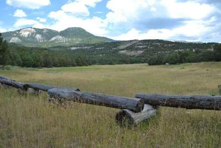
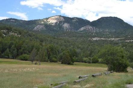
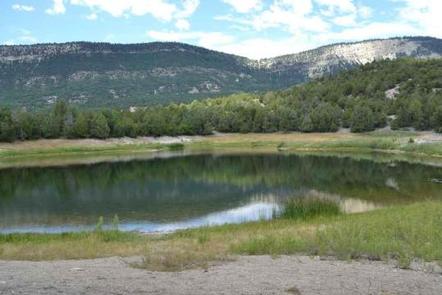
Twin Lake Campground rests in a juniper tree belt between the lower river bottom of Twelve Mile Canyon and the upper sub-alpine top of Skyline Drive. Visitors enjoy exploring a wealth of off-road vehicle trails.

Recreation

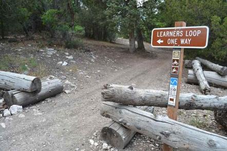
With an off-road vehicle learner loop in the campground and a central location between trails connecting to the Arapeen OHV Trail system and Skyline Drive, Twin Lake is the perfect staging area for exciting riding at any skill level.

Facilities

The campground contains one group site available for online reservations. This site accommodates up to 40 people and six vehicles. An additional 21 single-family sites are available, two of which, Sites 11 and 13, are open for online reservations.

Campfire rings are provided in each campsite and two vault toilets are regularly maintained and accessible within the campground. There is no trash collection so be prepared to pack out what you bring in.

Natural Features

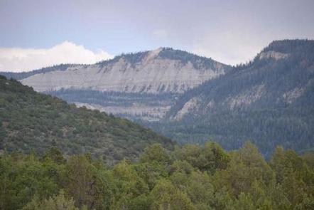
The campground is located 7 miles up Twelve Mile Canyon from the town of Mayfield, nestled among Flagstaff Limestone bluffs. At 7,000 feet above sea level, Twin Lake Campground allows early access in the spring and warmer temperatures in the fall.

Nearby Attractions

The Arapeen OHV Trail System offers extensive riding. Access to Skyline Drive rewards visitors with picturesque scenery and outdoor excitement.

Reservation

More from CampingHiking.net:

MANISTIQUE – RAPID RIVER DISPERSED CAMPSITES, Michigan Campground Images, Info & Reservations

Directions All driving directions are listed by lake. Please check campsite details. Phone 906-474-6442 Activities BIKING, BOATING, CAMPING, FISHING, HIKING, HORSEBACK RIDING, WATER SPORTS, WILDLIFE VIEWING, DAY USE AREA, SWIMMING SITE Keywords Dispersed campsites,Manistique,Rapid River,lyman lake,swan lake,bass lake,bear lake,camp cook,carr lake,chicago lake,clear lake,crooked lake,east lake,gooseneck lake,ironjaw lake,jackpine lake,lake nineteen,leg lake,little

ALBION BASIN, Utah Campground Images, Info & Reservations

Directions From I-215, take the 6200 South exit and travel a mile east to Wasatch Blvd. Take Wasatch Blvd 3 miles south to the junction with Little Cottonwood Canyon/Highway 210. Take a left at the junction and travel up Little Cottonwood Canyon 10.2 miles to the campground. The last 2.4

OGDEN GROUP, Oregon Campground Images, Info & Reservations

Directions From Bend, drive south on Highway 97 for 22 miles. Head east on Road 21 for 3 miles. Ogden Group is on the left. Phone 541-383-5300 Activities CAMPING Keywords OGDE,DESCHUTES NF – FS Related Link(s) Rec Area Info & Images Forest Service Concessionaire Oregon State Tourism Oregon State Road

FIDDLE CREEK, California Campground Images, Info & Reservations

Directions From Downieville, travel south on Highway 49 for about 12 miles. The campground is on the left side of the highway. Phone (530)478-6253 Activities BOATING, CAMPING, FISHING, HIKING, HUNTING, WATER SPORTS Keywords FIDD,TAHOE NF – FS Related Link(s) Rec Area Info & Images California State Tourism California State Road