

Directions
From I-35/80 north of Des Moines, Iowa, take exit 131 toward Johnston/Saylorville Lake. Turn north on Merle Hay Road and continue for 2.8 miles. At the four-way stop, turn left on Northwest Beaver Drive and continue for 3.7 miles. Turn right onto Northwest Coryden Drive and follow signs into the campground.
Phone
515-276-0429
Activities
BIKING, BOATING, CAMPING, INTERPRETIVE PROGRAMS, FISHING, HIKING, HUNTING, WATER SPORTS, WILDLIFE VIEWING, SWIMMING SITE
Keywords
ACOV,SAYLORVILLE LAKE,SAYLORVILLE LAKE
Related Link(s)
Overview
Acorn Valley Campground is located on the 26,000-acre Saylorville Lake Project, which stretches over 50 miles up the Des Moines River Valley.
The lake provides a wide variety of recreational activities, including camping, bicycling, boating, swimming, fishing, hiking and hunting.
Recreation
Anglers enjoy the lake for its abundance of walleye, wiper, largemouth bass, catfish, crappie and northern pike.
The paved Neal Smith Trail winds 24 miles from Des Moines to Big Creek State Park and connects the campgrounds on the east side of the lake. It is designated as a National Recreation Trail and is used for biking, hiking, jogging, walking and in-line skating.
Facilities
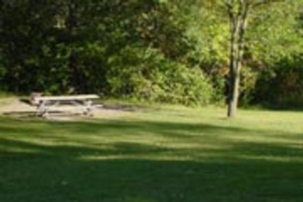
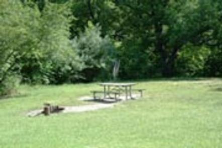
The campground offers 29 family sites with electric hookups and 54 primitive walk-to tent sites. The campground also features 2 group tent camping areas; a youth group camping area with special restrictions to organized youth as well as a standard group area open to all visitors. Amenities include flush toilets, showers, drinking water and a dump station. Nearby facilities include picnic areas with group shelters, boat ramps, a marina and a fishing dock.
Natural Features
The mature Bur Oaks at the entrance to Acorn Valley beckon visitors to explore its 26 acres on the fringe of an upland timber stand. Wildlife is abundant throughout the area. White-tailed deer, turkeys, pheasants, waterfowl and other small game animals roam the lands around the lake.