

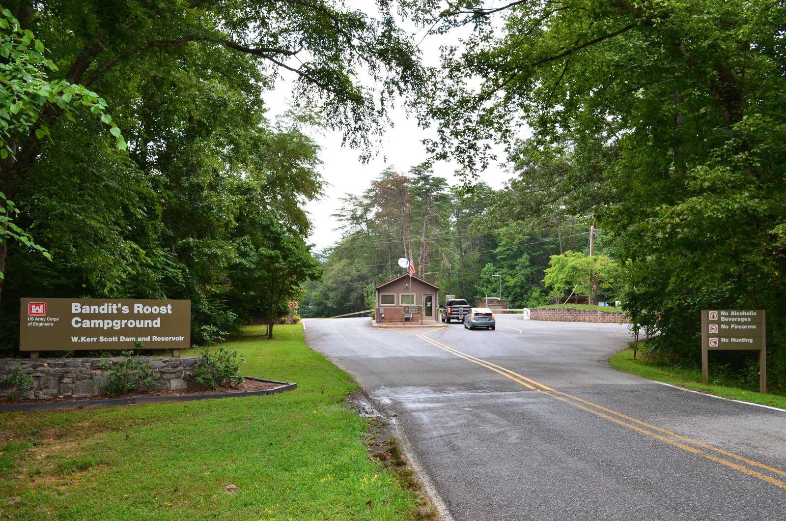
Directions
From Winston-Salem, North Carolina, take Highway 421 North (approximately 55 miles) to Exit 286B, turn left onto Highway 268 and continue for approximately 5 miles. Turn right onto Jess Walsh Road. Campground entrance is located at the end of the road. From Charlotte, North Carolina, take I-77 North (approximately 60 miles) before merging onto Highway 421 North towards Wilkesboro/Boone. Continue to Exit 286B (approximately 20 miles), turn left onto Highway 268 and continue for approximately 5 miles. Turn right onto Jess Walsh Road. Campground entrance is located at the end of the road. Travel times from: Winston Salem: 1 hour. Charlotte: 1.5 hours.
Phone
336-921-3190
Activities
BIKING, BOATING, CAMPING, FISHING, HIKING, VISITOR CENTER, DAY USE AREA, SWIMMING SITE, ENVIRONMENTAL EDUCATION
Keywords
BAND,W KERR SCOTT DAM & LAKE
Related Link(s)
North Carolina State Road Conditions
Overview
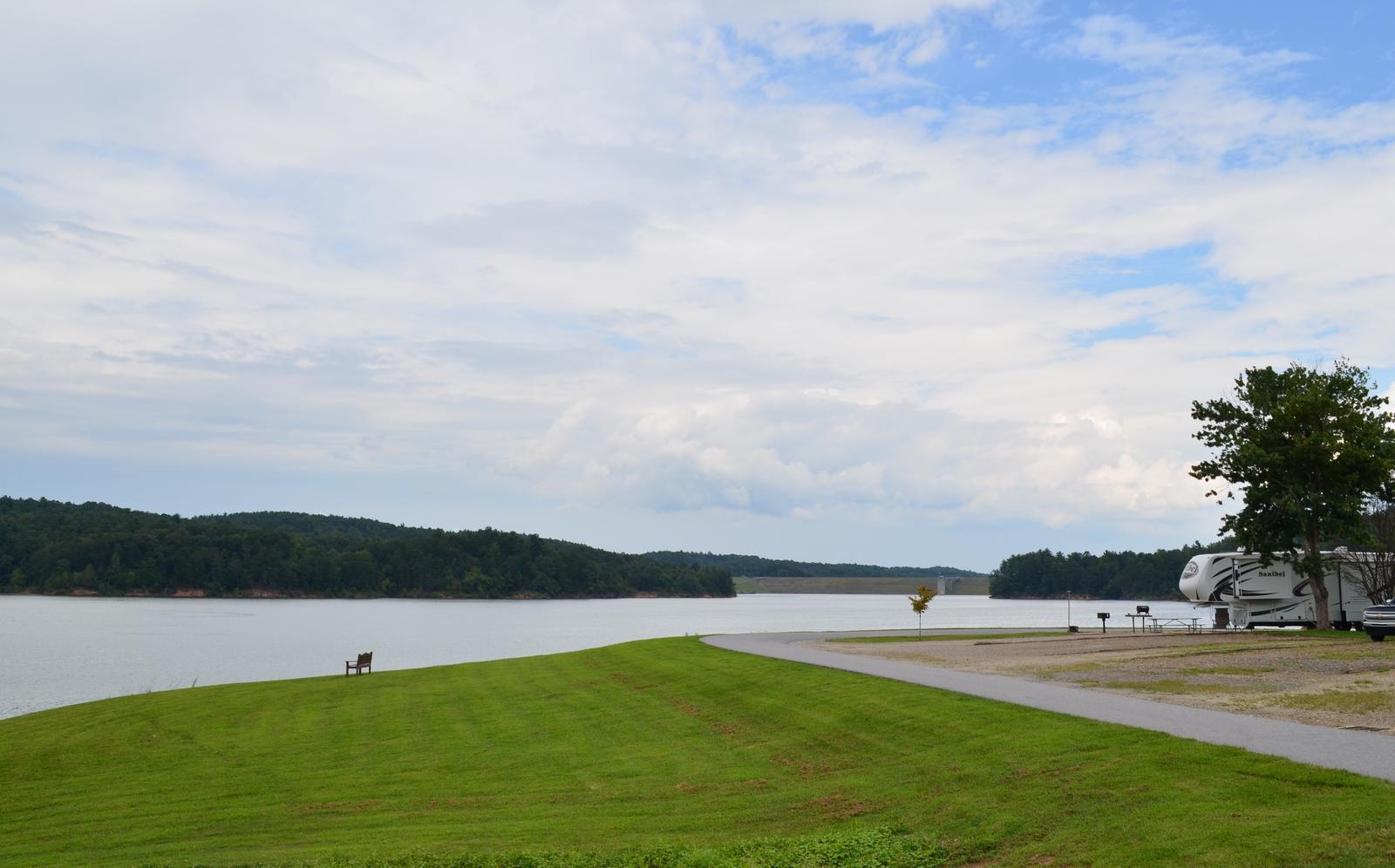
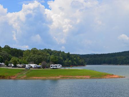
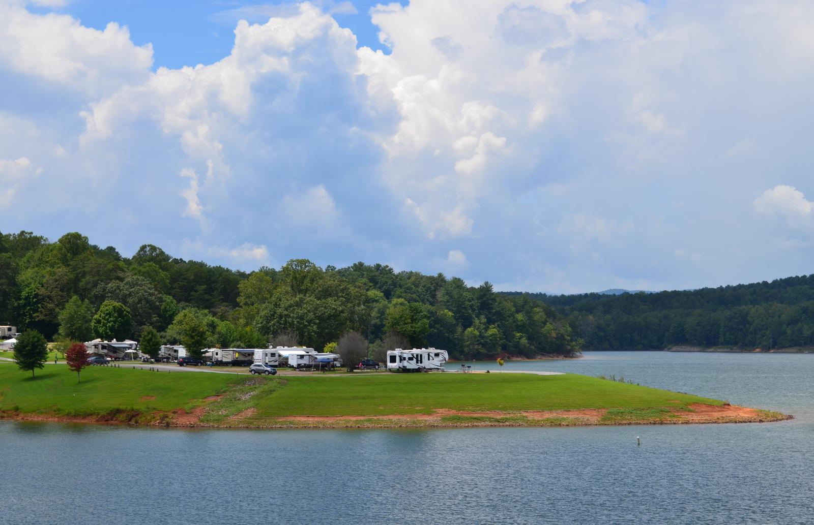
Bandits Roost Campground is located on the south side of W. Kerr Scott Reservoir in western North Carolina.
Constructed in the beautiful Yadkin River Valley, the lake offers extensive opportunities for outdoor recreational activities.
Recreation
The 1,475-acre reservoir offers excellent boating, canoeing, kayaking and swimming opportunities. Anglers will find channel catfish, large and smallmouth bass, bluegill, threadfin shad, spotted bass, striped bass, and hybrid striped bass. Miles of multi-use trails, that allow hiking and mountain biking, surround the lake, including the Overmountain Victory National Historic Trail, which has a trailhead at the campground. An additional 25 miles of trails can be found at the Warrior Creek and Dark Mountain areas.
Facilities
The campground offers 102 campsites, including 17 tents sites and 85 standard sites with water and electric hookups. The popular group tent area offers a covered shelter with water and electricity, a grill, six tables and seven tent pads. Amenities include flush and pit toilets, showers, drinking water and a dump station. A boat ramp, swim beach, playground, basketball court and amphitheater offer additional recreation opportunities.
Natural Features
The gentle Yadkin River flows through its scenic namesake valley in the foothills of the eastern Blue Ridge Mountains. Forests of mixed hardwoods, including sycamore, poplar, oak and hickory, cover the region. Wildlife is abundant in the valley. White-tailed deer, black bear, eastern cottontails and more can be found among the hills. Birds in the area include wild turkey, woodpeckers, Carolina chickadees, red-eyed vireo, ovenbirds, mallards and wood ducks.