BUCKSAW, MO Campground Reservation, Info, Images, Map, Directions

BUCKSAW, Missouri Campground Images, Info & Reservations

Directions

From Highway 7, take Highway U south for 3 miles. Turn left at SE 803. Stay on the paved road and follow signs into the campground.

Phone

660-477-3402

Activities

BOATING, CAMPING, FISHING, SWIMMING SITE

Keywords

BUCS,TRUMAN LAKE,HARRY S TRUMAN

Related Link(s)

Rec Area Info & Images

Missouri State Road Conditions

Missouri State Tourism

Overview

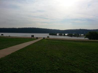
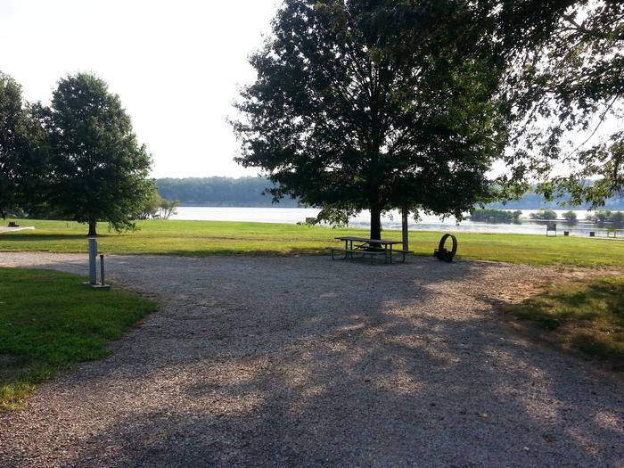
Bucksaw Campground sits on the Grand River Arm of the Harry S. Truman Lake in the hills of western Missouri.

The campground is an excellent destination for all types of water recreation.

Click here for the Harry S. Truman Lake virtual tour.

Recreation

Popular activities in the area include wildlife viewing, fishing, hunting, swimming, hiking and boating. For an enjoyable short hike, be sure to check out the mile long hiking trail located across the road from the A & B loop’s showerhouse. For more information about this trail upon your arrival, please see the booth attendant.

Bucksaw is an excellent fishing location. Anglers find crappie, largemouth bass and blue and flathead catfish. Truman Lake is also a popular destination for tournament fishermen.

Bucksaw Point Marina is also located within the park.

Facilities

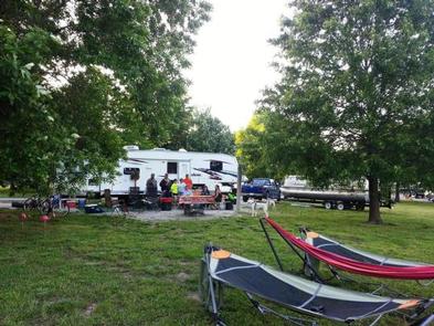
This large campground offers 148 campsites total. 46 sites with 30 amp electric hookups, 71 sites with 50 amp electric and water hookups, 14 sites with 50 amp electric water and sewer hookups, along with 17 primitive sites without hookups. Amenities include flush and pit toilets, showers, drinking water, laundry facilities and a dump station.

A boat ramp, playground and sand beach offer additional recreation opportunities.

Natural Features

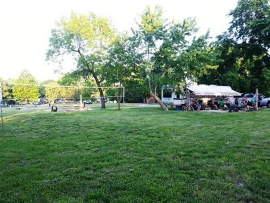
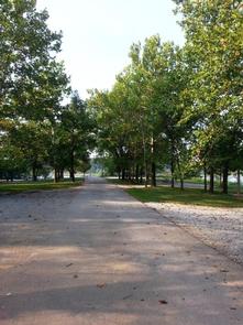
Bucksaw is located on a peninsula with primarily flat terrain and excellent lake views. Campsites are well-shaded, while expansive grassy areas are spread throughout the campground.

Truman Lake lies among rolling hills and rocky bluffs. Dense hardwood forests studded with mature pine trees cover the area.

Nearby Attractions

Bucksaw Marina 

Reservation

More from CampingHiking.net:

ISLAND PARK, California Campground Images, Info & Reservations

Directions From Fresno, California, travel east on Highway 180/Kings Canyon Highway to Academy Avenue. Turn left onto Academy Avenue, and then turn right on Belmont Avenue. Continue traveling for approximately 20 miles; the entrance to Island Park Recreation Area is on the right. NOTE: Belmont Avenue becomes East Trimmer Springs

CASCADE CREEK CABIN, Alaska Campground Images, Info & Reservations

Directions Access is by float plane or boat only. The cabin is located on the mainland in Thomas Bay, south of Cascade Creek and east of Spray Island. From Petersburg the journey is 14 miles by float plane or 19 miles by boat. Refer to USGS topographic map Petersburg D3;

ELWOOD CABIN, Colorado Campground Images, Info & Reservations

Directions From Del Norte, take U.S. Highway 160 west to South Fork. Continue west on U.S. Highway 160 for 8 miles to Park Creek Road. Travel 15 miles on Park Creek Road to Summitville Road. Turn right on FSR 380, the cabin is about 2 miles on the left. From

STONY POINT, Minnesota Campground Images, Info & Reservations

Directions From Walker, Minn., take Highway 200 east 6 miles to County Road 13. Go north 3 miles on County Road 13 to Forest Road 3793, then east 2.5 miles on FR 3793 to the campground. Phone 218-547-1044 Activities BOATING, CAMPING, FISHING, HIKING, SWIMMING SITE Keywords STOP,CHIPPEWA NF – FS

OSAGE BLUFF, Missouri Campground Images, Info & Reservations

Directions From Highway 83, travel about a mile on Osage Bluff Road. Follow signs into park. Phone 660-438-3873 Activities BOATING, CAMPING, FISHING, FISH HATCHERY Keywords UBAG,TRUMAN LAKE,HARRY S TRUMAN Related Link(s) Rec Area Info & Images Missouri State Road Conditions Missouri State Tourism Overview Osage Bluff Park sits on the

LAKEVIEW BIGHORN, Wyoming Campground Images, Info & Reservations

Directions From Worland, Wyoming, take U.S. Highway 16 east for 52 miles. Phone 406-587-9054 Activities BIKING, BOATING, FISHING, HIKING, PICNICKING, WILDLIFE VIEWING, HOTEL/LODGE/RESORT PRIVATELY OWNED, OFF ROAD VEHICLE TRAILS, KAYAKING, CANOEING, NON-MOTORIZED BOATING Keywords LAV2,BIGHORN NF – FS Related Link(s) Rec Area Info & Images Overview Lakeview Campground is located