
Directions
From Hot Springs, Arkansas, take US 270 west about 15.4 miles to North Crystal Springs Road. Turn right and follow access road three miles north to the park.
Phone
501-991-3390
Activities
BOATING, CAMPING, SWIMMING SITE
Keywords
CRSP,LAKE OUACHITA,CRYSTAL,LAKE OUACHITA
Related Link(s)
Arkansas State Road Conditions
Overview
Crystal Springs Campground, perched on the shores of Lake Ouachita in Arkansas, is an ideal spot for families, friends and couples. Approximately 1.2 million people visit the lake each year to explore its crystal clear waters and scenic mountain landscape. Click here for the Lake Ouachita Virtual Tour.
Recreation
Visitors enjoy fishing, water skiing, hiking and boating. Scuba diving is particularly popular because of the lake’s high underwater visibility. Small and rare freshwater jellyfish (non-stinging) can be found, in addition to many types of fish, including the striped bass, lazily drifting between rocks.
Bald eagles are a big attraction for bird watchers and photographers in winter months.
Facilities
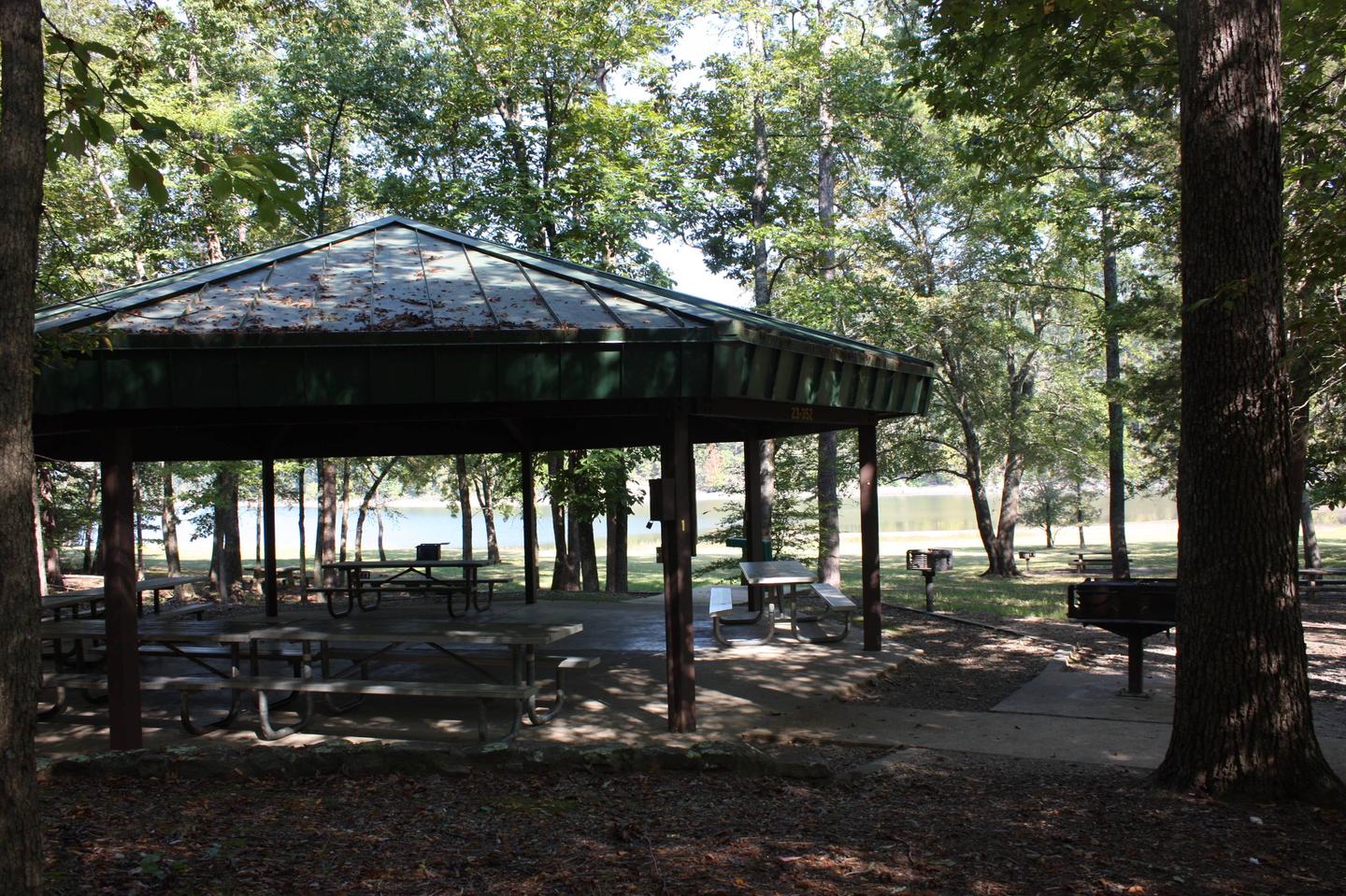
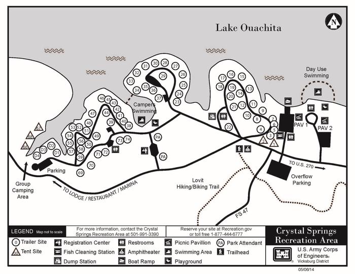
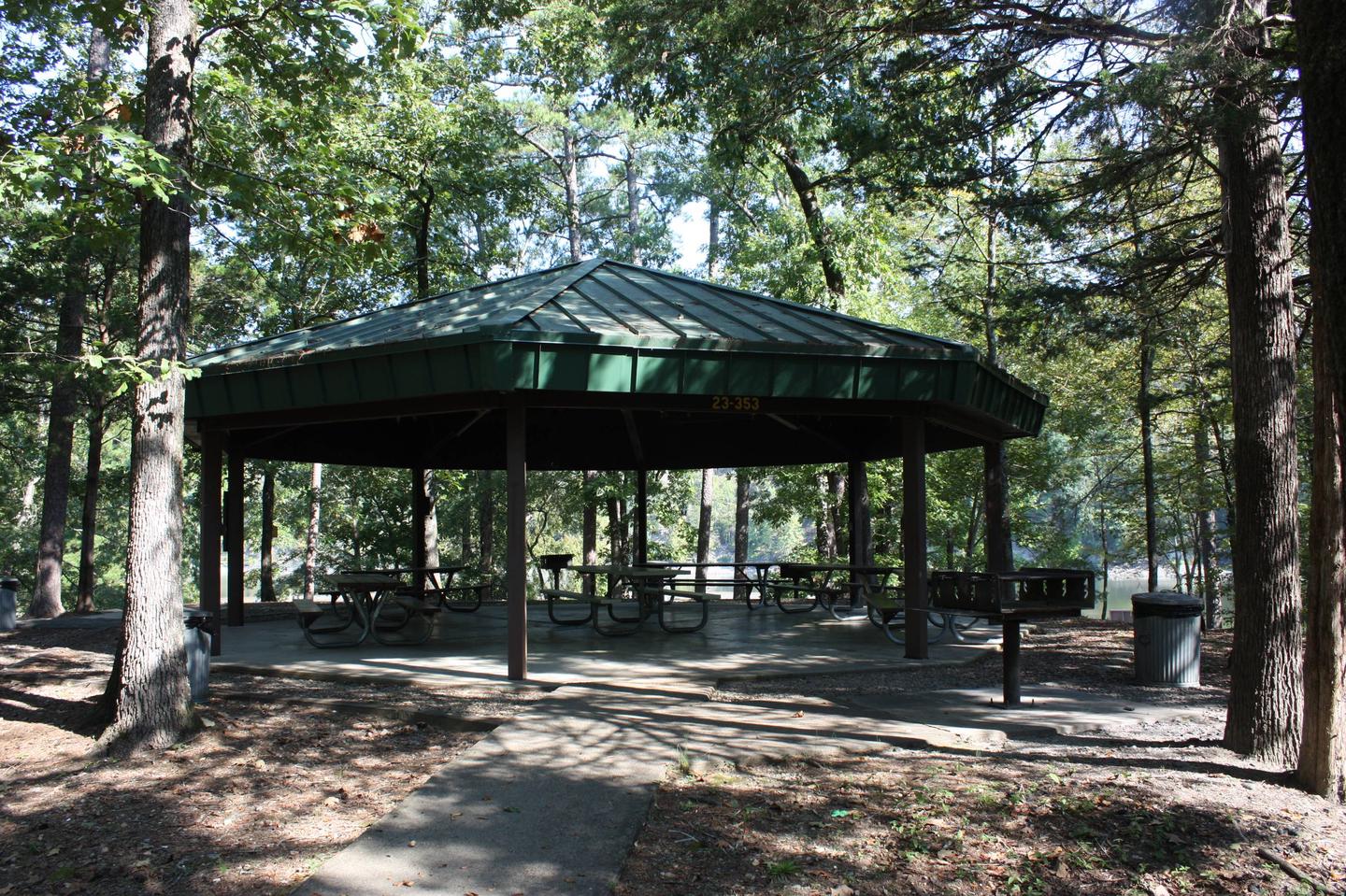
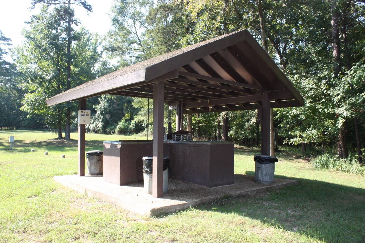
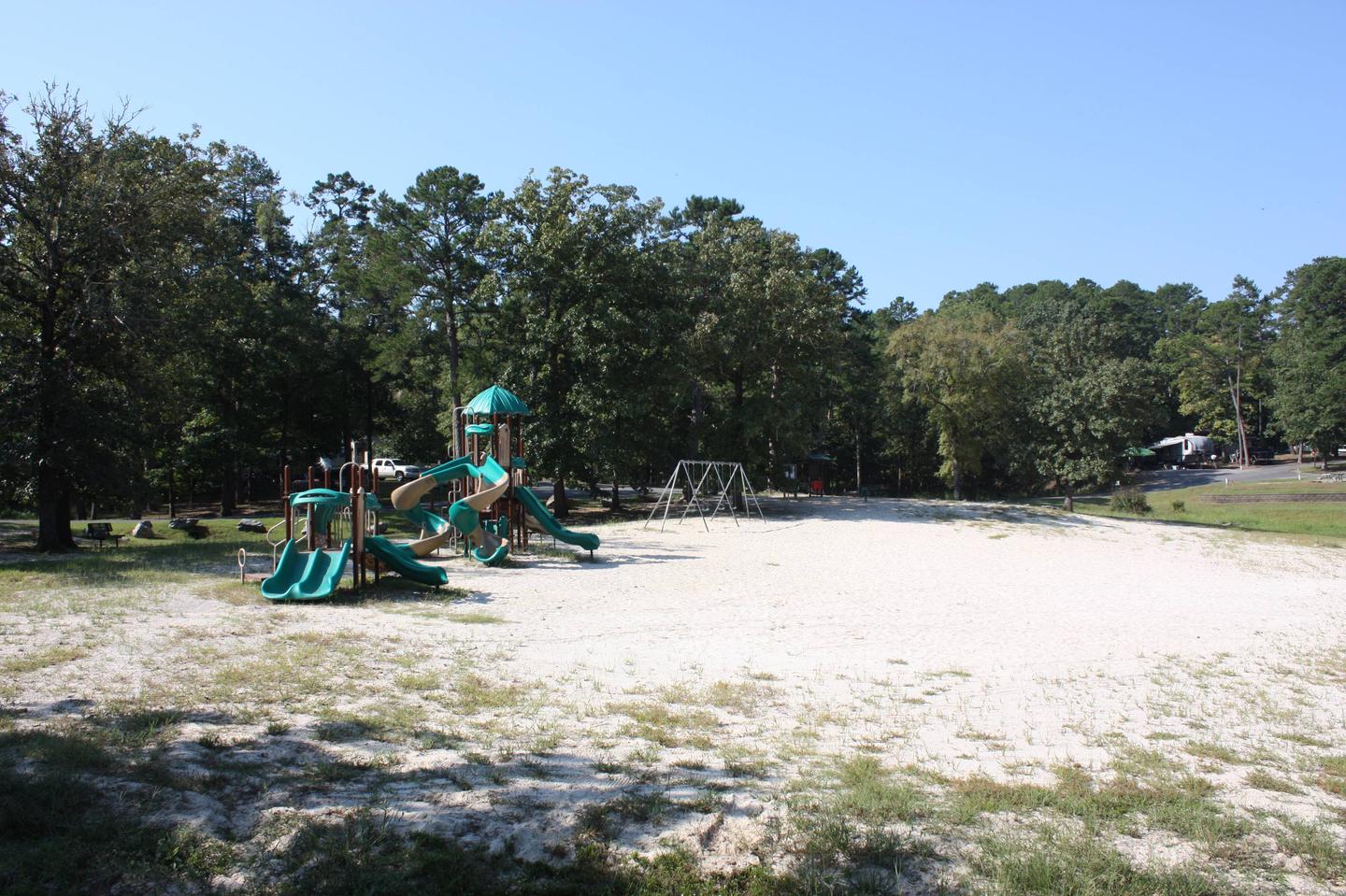
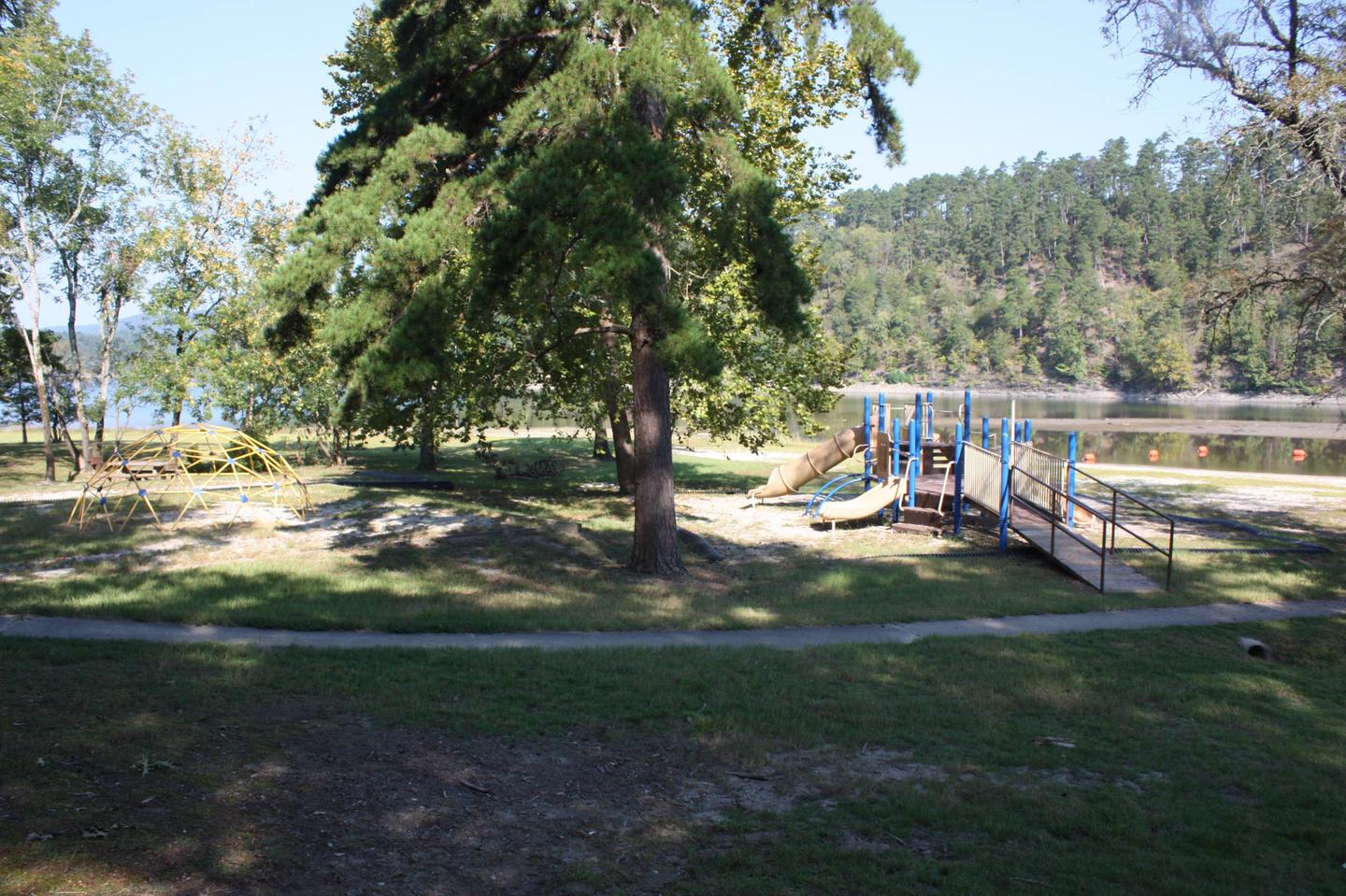
The campground consists of 68 sites including 63 sites with electric and water hookups. There is also a reservable group campsite that includes electrical and water hookups. The two group picnic shelters have electricity. Other amenities include a dump station, fish cleaning station, hot showers, boat ramp, playground and a swim beach.
Natural Features
Lake Ouachita is nestled in the Ouachita Mountains just 10 miles west of Hot Springs National Park. The pool is fed by the cool waters of the Ouachita River and extends about 30 miles over 40,000 surface acres.
Nearby Attractions
Part of the scenic 223-mile Ouachita National Recreation Trail runs just north of the lake. Here, hikers and mountain bikers can explore an array of breathtaking views in the Ouachita Mountains.