
Directions
Address for GPS: Flat Rock Creek, 31291 E. 670 Rd., Chouteau, OK 74337 From Tulsa, OK: Travel east on Highway 412 to Highway 69, take the Wagoner, Oklahoma exit. Travel south on Highway 69 for 7 miles. Turn left on East 655 Road and travel east for 3 miles. Turn right on South 320 Road. Travel south for 1 mile. Turn right on East 670 Road and travel west for approximately .7 mile to park entrance gates.
Phone
918-476-6766 OR 918-682-4314
Activities
BOATING, CAMPING, FISHING, HUNTING
Keywords
FLAT,FORT GIBSON LAKE,FORT GIBSON LAKE
Related Link(s)
Oklahoma State Road Conditions
Overview
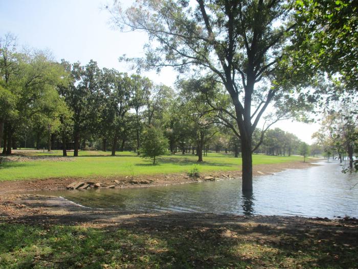
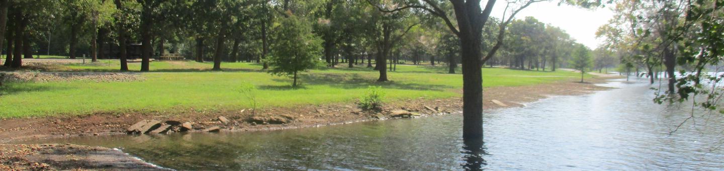
Flat Rock Creek is located on the east shore of Flat Rock Bay on Fort Gibson Lake In northeastern Oklahoma. The park offers a chance to view spectacular sunsets. Even though this campground is a little off the beaten path, it has a strong and loyal following. Campers love the remote setting and family friendly atmosphere.
Recreation
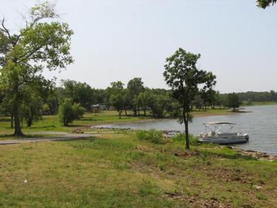
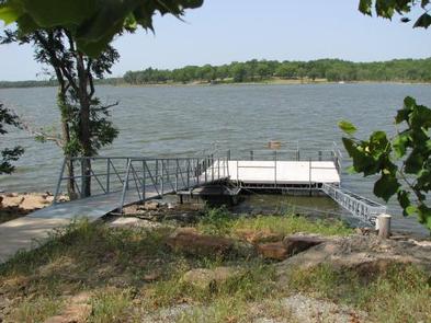
The nearly 20,000-acre lake offers great boating and swimming opportunities. Anglers enjoy fishing for black bass, white bass, crappie and several varieties of catfish and panfish. The lake’s 225 miles of shoreline are home to thousands of acres of public hunting lands, where white-tailed deer, turkey, mourning dove, duck, geese, cottontail rabbit and squirrel roam.
Facilities
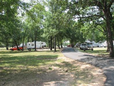
This seasonal campground offers 30 family sites and one group day-use picnic shelter, all with electric hookups. An additional site without hookups is available on a first come, first served basis. Visitors can enjoy all the facilites 9 months out of the year, March 1 – November 30. Park gates are locked December – February. Amenities include flush and pit toilets, drinking water, showers, a dump station and boat ramp.
Natural Features
An oak-hickory woodland covers the rolling hills of the region. The protected shallow cove provides an ideal location for kayaks and canoes.
Nearby Attractions
Historic Fort Gibson, established in 1824, served as an important military post on the western frontier for close to 70 years. Now a National Historical Landmark, the site is open to the public year round.
Volunteers reenact the lifestyle of the late 1800s during various events held throughout the year. A reconstructed log stockade, and original barracks, hospital, bakehouse and other structures still stand today.