
Directions
From Hannibal, MO, travel west on Highway 36 for 17 miles. Turn south on Route J, and travel 6 miles. Turn west on Oakland Drive and travel for 2 miles.
Phone
573-735-4097
Activities
BIKING, CAMPING, HIKING, SWIMMING SITE
Keywords
JOSR,CLARENCE CANNON DAM,SPALDING BEACH,MARK TWAIN LAKE,MARK TWAIN LAKE
Related Link(s)
Missouri State Road Conditions
Overview
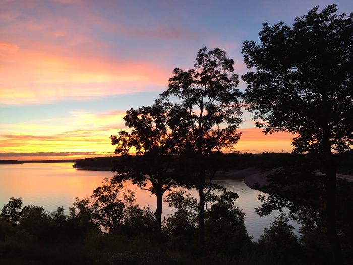
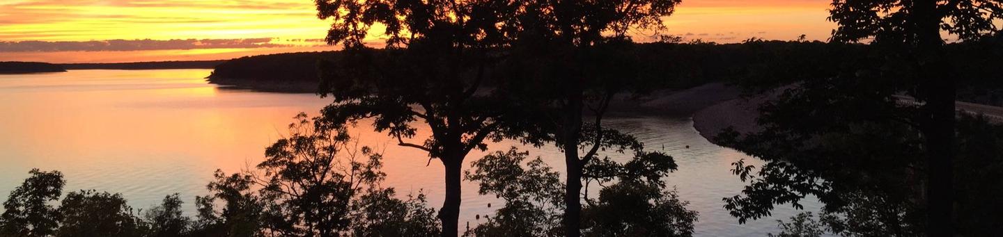
Visitors at John Spalding are in the perfect location for recreation on Mark Twain Lake. The day-use area is the only facility within reach of the sandy public beach. It’s also directly connected to the Joanna Trail, a 32-mile multi-purpose trail for hiking, mountain biking and horseback riding.
Tour the birthplace of world-famous humorist and writer, Mark Twain and explore the region that inspired his most beloved stories, such as "The Adventures of Tom Sawyer."
Recreation
Swim and enjoy the beach all day, or take a boat out for water skiing and fishing. For hikers and bikers, the lengthy Joanna Trail lines the northern banks of the lake.
Facilities
The day-use area is equipped with a swimming beach, showers and picnic shelters. Shelters have electric hookups.
Natural Features
The Salt River of north-central Missouri feeds Mark Twain Lake, the regions largest body of water, spanning 18,000 acres. A variety of recreation areas surround the lake, including the Mark Twain State Park.
Nearby Attractions
Visit Mark Twain’s birthplace in Florida, Missouri or his boyhood home in Hannibal.
The David C. Berti Shooting Range is below the dam and M.W. Boudreaux Visitor Center is above the dam.